Estimated Value: $1,098,000 - $1,598,000
4
Beds
3
Baths
2,598
Sq Ft
$543/Sq Ft
Est. Value
About This Home
This home is located at 65215 Smokey Butte Dr, Bend, OR 97703 and is currently estimated at $1,409,687, approximately $542 per square foot. 65215 Smokey Butte Dr is a home with nearby schools including Tumalo Community School, Obsidian Middle School, and Ridgeview High School.
Ownership History
Date
Name
Owned For
Owner Type
Purchase Details
Closed on
Jul 16, 2014
Sold by
Turner Brian J and Turner Heather
Bought by
Turner Family Trust
Current Estimated Value
Purchase Details
Closed on
Jul 18, 2005
Sold by
Kasten Roger R and Kasten Dorothy J
Bought by
Turner Brian J and Turner Heather
Home Financials for this Owner
Home Financials are based on the most recent Mortgage that was taken out on this home.
Original Mortgage
$191,250
Interest Rate
5.51%
Mortgage Type
Credit Line Revolving
Create a Home Valuation Report for This Property
The Home Valuation Report is an in-depth analysis detailing your home's value as well as a comparison with similar homes in the area
Home Values in the Area
Average Home Value in this Area
Purchase History
| Date | Buyer | Sale Price | Title Company |
|---|---|---|---|
| Turner Family Trust | -- | None Available | |
| Turner Brian J | $255,000 | Western Title & Escrow Co |
Source: Public Records
Mortgage History
| Date | Status | Borrower | Loan Amount |
|---|---|---|---|
| Closed | Turner Brian J | $191,250 |
Source: Public Records
Tax History Compared to Growth
Tax History
| Year | Tax Paid | Tax Assessment Tax Assessment Total Assessment is a certain percentage of the fair market value that is determined by local assessors to be the total taxable value of land and additions on the property. | Land | Improvement |
|---|---|---|---|---|
| 2025 | $5,942 | $378,770 | -- | -- |
| 2024 | $5,682 | $367,740 | -- | -- |
| 2023 | $5,370 | $357,030 | $0 | $0 |
| 2022 | $4,941 | $336,550 | $0 | $0 |
| 2021 | $4,940 | $326,750 | $0 | $0 |
| 2020 | $4,696 | $326,750 | $0 | $0 |
| 2019 | $4,558 | $317,240 | $0 | $0 |
| 2018 | $4,449 | $308,000 | $0 | $0 |
| 2017 | $4,351 | $299,030 | $0 | $0 |
| 2016 | $4,303 | $290,330 | $0 | $0 |
| 2015 | $1,222 | $82,610 | $0 | $0 |
| 2014 | $1,190 | $80,210 | $0 | $0 |
Source: Public Records
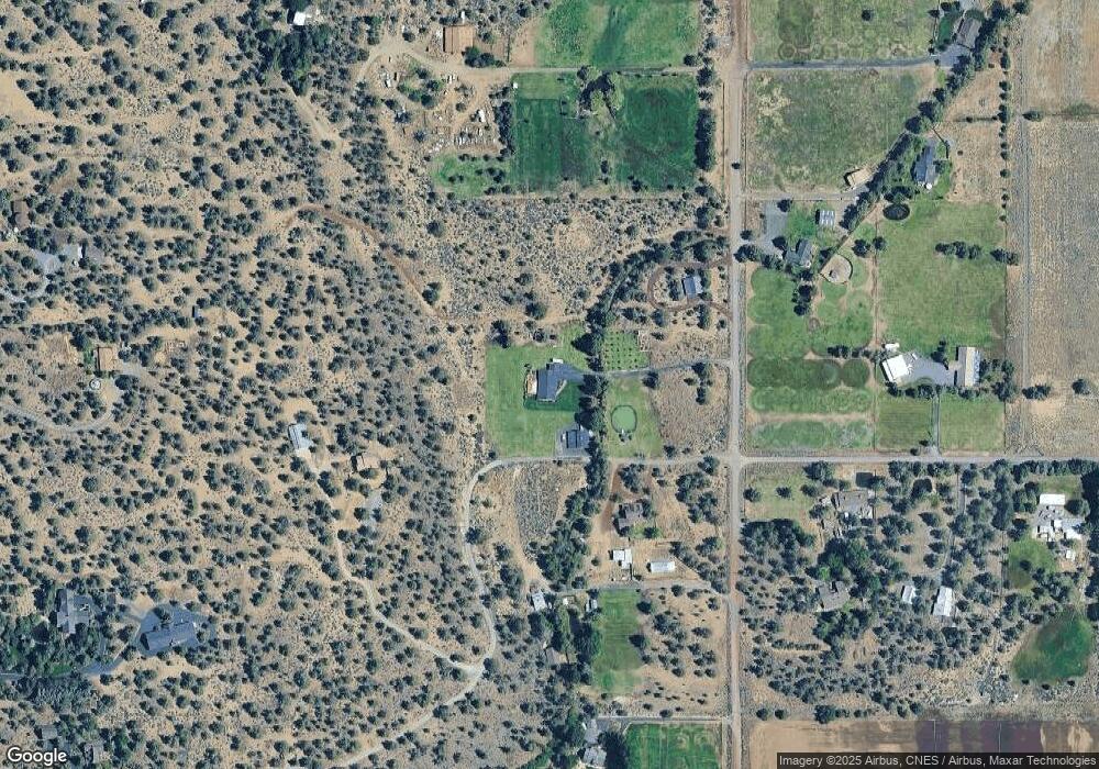
Map
Nearby Homes
- 19375 Dayton Rd
- 65365 Concorde Ln
- 19189 Dayton Rd
- 65010 Gerking Market Rd
- 19190 Pinehurst Rd
- 65160 Highland Rd
- 65570 Highway 20
- 65600 Highway 20
- 20087 Beaver Ln
- 64495 Quail Dr
- 65030 Wapiti Way
- 65655 Cline Falls Rd
- 65930 Mariposa Ln
- 65255 Swalley Rd
- 66001 Waldron Trail
- 19496 Tumalo Reservoir Rd
- 65020 Swalley Rd
- 65070 Swalley Rd
- 19045 Tumalo Reservoir Rd
- 20305 Arrowhead Dr
- 0 Smokey Butte Rd
- 65233 Smokey Butte Dr
- 19378 Farview Dr
- 65222 Smokey Butte Dr
- 65222 Smokey Butte Dr
- 65222 Smokey Butte Rd
- 19350 Farview Dr
- 65161 Smokey Butte Dr
- 65161 Smokey Butte Dr
- 1 Farview Dr
- 65180 Smokey Butte Dr
- 65145 Smokey Butte Dr
- 65145 Smokey Butte Dr
- 19436 Rudi Rd
- 65256 Smokey Butte Dr
- 65256 Smokey Butte Dr
- 65256 Smokey Butte Rd
- 19405 Rudi Rd
- 65283 Smokey Butte Dr