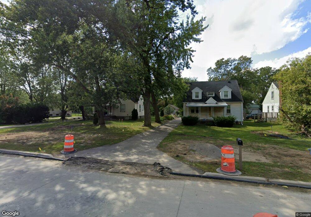
6522 Inkster Rd Romulus, MI 48174
Estimated Value: $110,000 - $171,272
3
Beds
1
Bath
692
Sq Ft
$206/Sq Ft
Est. Value
About This Home
This home is located at 6522 Inkster Rd, Romulus, MI 48174 and is currently estimated at $142,568, approximately $206 per square foot. 6522 Inkster Rd is a home located in Wayne County with nearby schools including Romulus Elementary School, Romulus Middle School, and Romulus Senior High School.
Ownership History
Date
Name
Owned For
Owner Type
Purchase Details
Closed on
Oct 24, 2025
Sold by
D & D Land Development Inc
Bought by
65 Inkster Development Llc
Current Estimated Value
Purchase Details
Closed on
Sep 21, 2007
Sold by
Hud
Bought by
D & D Land Development Inc
Purchase Details
Closed on
Sep 15, 2006
Sold by
Countrywide Home Loans Servicing Lp
Bought by
Hud
Purchase Details
Closed on
Mar 8, 2006
Sold by
Walock Stephen C and Walock Karen
Bought by
Countrywide Home Loans Servicing Lp
Purchase Details
Closed on
Oct 10, 2000
Sold by
Acs Enterprises Inc
Bought by
Karen Walock
Create a Home Valuation Report for This Property
The Home Valuation Report is an in-depth analysis detailing your home's value as well as a comparison with similar homes in the area
Home Values in the Area
Average Home Value in this Area
Purchase History
| Date | Buyer | Sale Price | Title Company |
|---|---|---|---|
| 65 Inkster Development Llc | -- | Title Connect | |
| D & D Land Development Inc | $95,000 | None Available | |
| Hud | -- | None Available | |
| Countrywide Home Loans Servicing Lp | $106,476 | None Available | |
| Karen Walock | $90,000 | -- |
Source: Public Records
Tax History
| Year | Tax Paid | Tax Assessment Tax Assessment Total Assessment is a certain percentage of the fair market value that is determined by local assessors to be the total taxable value of land and additions on the property. | Land | Improvement |
|---|---|---|---|---|
| 2025 | $1,932 | $80,700 | $0 | $0 |
| 2024 | $1,916 | $53,500 | $0 | $0 |
| 2023 | $1,826 | $47,700 | $0 | $0 |
| 2022 | $2,210 | $45,700 | $0 | $0 |
| 2021 | $2,193 | $40,800 | $0 | $0 |
| 2020 | $2,178 | $36,200 | $0 | $0 |
| 2019 | $1,871 | $35,000 | $0 | $0 |
| 2018 | $1,321 | $25,600 | $0 | $0 |
| 2017 | $725 | $25,600 | $0 | $0 |
| 2016 | $1,701 | $25,700 | $0 | $0 |
| 2015 | $2,622 | $27,300 | $0 | $0 |
| 2013 | $2,540 | $25,600 | $0 | $0 |
| 2012 | $995 | $27,900 | $26,200 | $1,700 |
Source: Public Records
Map
Nearby Homes
- 27620 Newcastle St
- 6237 Inkster Rd
- 27029 Michelle Ct
- 27032 Joan St
- 0 Ecorse Service Rd
- 0 Ecorse Rd Unit 20251029385
- 27059 Jeannette Ct
- 28176 Ecorse Rd
- 6198 Princess St
- 6144 Princess St
- 5940 Daniels St
- 6155 Princess St
- 6334 Hampden St
- 6330 Hampden St
- 26424 Beverly Rd
- 6005 Frederick St Unit 56
- 5970 John Daly St
- 6310 Duncan St
- 26215 Beverly Rd
- 28709 S Maple Unit 229
- 6508 Inkster Rd
- 6538 Inkster Rd
- 6490 Inkster Rd
- 6472 Inkster Rd
- 6450 Inkster Rd
- 6416 Inkster Rd
- 6603 Inkster Rd
- 6624 Inkster Rd
- 6413 Inkster Rd
- 6625 Inkster Rd
- 6680 Inkster Rd
- 6675 Inkster Rd
- 6631 Inkster Rd
- 6738 Inkster Rd Unit Bldg-Unit
- 6738 Inkster Rd
- 6375 Inkster Rd
- 6758 Inkster Rd
- 6758 Inkster Rd
- 27474 Newcastle St
- 6321 Inkster Rd
Your Personal Tour Guide
Ask me questions while you tour the home.