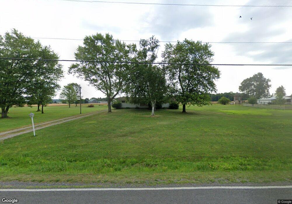
6522 Meese Rd NE Alliance, OH 44601
Estimated Value: $205,000 - $226,000
3
Beds
2
Baths
1,200
Sq Ft
$177/Sq Ft
Est. Value
About This Home
This home is located at 6522 Meese Rd NE, Alliance, OH 44601 and is currently estimated at $212,741, approximately $177 per square foot. 6522 Meese Rd NE is a home located in Stark County with nearby schools including Louisville High School.
Ownership History
Date
Name
Owned For
Owner Type
Purchase Details
Closed on
Aug 3, 2006
Sold by
Casto Karla M
Bought by
Casto Alan D
Current Estimated Value
Home Financials for this Owner
Home Financials are based on the most recent Mortgage that was taken out on this home.
Original Mortgage
$155,000
Outstanding Balance
$93,413
Interest Rate
6.83%
Mortgage Type
Purchase Money Mortgage
Estimated Equity
$119,328
Purchase Details
Closed on
Jan 22, 2003
Sold by
Casto Doris I
Bought by
Casto Alan D
Home Financials for this Owner
Home Financials are based on the most recent Mortgage that was taken out on this home.
Original Mortgage
$91,000
Interest Rate
6.13%
Create a Home Valuation Report for This Property
The Home Valuation Report is an in-depth analysis detailing your home's value as well as a comparison with similar homes in the area
Home Values in the Area
Average Home Value in this Area
Purchase History
| Date | Buyer | Sale Price | Title Company |
|---|---|---|---|
| Casto Alan D | -- | None Available | |
| Casto Alan D | -- | Tower City Title Agency Llc |
Source: Public Records
Mortgage History
| Date | Status | Borrower | Loan Amount |
|---|---|---|---|
| Open | Casto Alan D | $155,000 | |
| Previous Owner | Casto Alan D | $91,000 |
Source: Public Records
Tax History Compared to Growth
Tax History
| Year | Tax Paid | Tax Assessment Tax Assessment Total Assessment is a certain percentage of the fair market value that is determined by local assessors to be the total taxable value of land and additions on the property. | Land | Improvement |
|---|---|---|---|---|
| 2025 | -- | $61,990 | $34,440 | $27,550 |
| 2024 | -- | $61,990 | $34,440 | $27,550 |
| 2023 | $2,746 | $56,040 | $29,020 | $27,020 |
| 2022 | $2,753 | $56,040 | $29,020 | $27,020 |
| 2021 | $2,761 | $56,040 | $29,020 | $27,020 |
| 2020 | $2,373 | $50,860 | $26,180 | $24,680 |
| 2019 | $2,383 | $50,870 | $26,190 | $24,680 |
| 2018 | $2,376 | $50,870 | $26,190 | $24,680 |
| 2017 | $2,313 | $47,260 | $24,500 | $22,760 |
| 2016 | $2,001 | $41,770 | $19,010 | $22,760 |
| 2015 | $1,956 | $41,770 | $19,010 | $22,760 |
| 2014 | $946 | $36,440 | $16,560 | $19,880 |
| 2013 | $950 | $36,440 | $16,560 | $19,880 |
Source: Public Records
Map
Nearby Homes
- 5990 Meese Rd NE
- 5765 Maplegrove St
- 6109 Oakhill Ave NE
- 12222 Cenfield St NE
- 5495 Meese Rd NE
- 6052 N Nickelplate St
- 0 Valewood Cir Unit 5006281
- 2015 E Main St
- 2435 Queensbury Rd
- 2851 Patriots Path Unit 3D
- 7844 Morningstar Dr
- 1445 Washington Blvd
- 910 Crosswyck Cir
- 1413 Washington Blvd
- 0 Michigan Blvd
- 1812 E Broad St
- 13881 Salem Church St NE
- 0 Easton St NE
- 344 E Reno Dr
- 316 E Reno Dr
- 6517 Meese Rd NE
- 6485 Meese Rd NE
- 6490 Meese Rd NE
- 6470 Meese Rd NE
- 6440 Meese Rd NE
- 6414 Meese Rd NE
- 6409 Meese Rd NE
- 6392 Meese Rd NE
- 10684 Easton St NE
- 6339 Parks Ave NE
- 6688 Meese Rd NE
- 6693 Meese Rd NE
- 10674 Easton St NE
- 5964 Paris Ave
- 10650 Easton St NE
- 6511 Parks Ave NE
- 6354 Meese Rd NE
- 10870 Easton St NE
- 6337 Parks Ave NE
- 10566 Easton St NE