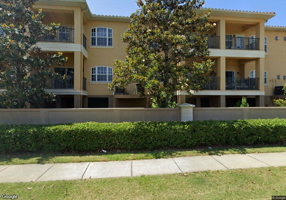
6522 Sand Shore Ln Unit 39 New Port Richey, FL 34652
New Port Richey West NeighborhoodEstimated Value: $375,719 - $565,000
3
Beds
3
Baths
2,132
Sq Ft
$212/Sq Ft
Est. Value
About This Home
This home is located at 6522 Sand Shore Ln Unit 39, New Port Richey, FL 34652 and is currently estimated at $451,930, approximately $211 per square foot. 6522 Sand Shore Ln Unit 39 is a home located in Pasco County with nearby schools including Richey Elementary School, Gulf Middle School, and Gulf High School.
Ownership History
Date
Name
Owned For
Owner Type
Purchase Details
Closed on
Aug 25, 2020
Sold by
Malaniak Gary and Maianiak Josephine
Bought by
Curry Scott Joseph and Curry Faith Ellen
Current Estimated Value
Purchase Details
Closed on
Dec 21, 2015
Sold by
Nguyen Hien Q and Nguyen Thao P
Bought by
Malaniak Gary and Malaniak Josephine
Purchase Details
Closed on
Jun 30, 2011
Sold by
Rsf Pasco Llc
Bought by
Nguyen Hien Q and Nguyen Thao P
Home Financials for this Owner
Home Financials are based on the most recent Mortgage that was taken out on this home.
Original Mortgage
$136,000
Interest Rate
4.62%
Mortgage Type
New Conventional
Create a Home Valuation Report for This Property
The Home Valuation Report is an in-depth analysis detailing your home's value as well as a comparison with similar homes in the area
Home Values in the Area
Average Home Value in this Area
Purchase History
| Date | Buyer | Sale Price | Title Company |
|---|---|---|---|
| Curry Scott Joseph | $275,000 | Strategic Title Llc | |
| Malaniak Gary | $187,500 | Title Usa Llc | |
| Nguyen Hien Q | $170,000 | Hillsborough Title Llc |
Source: Public Records
Mortgage History
| Date | Status | Borrower | Loan Amount |
|---|---|---|---|
| Previous Owner | Nguyen Hien Q | $136,000 |
Source: Public Records
Tax History Compared to Growth
Tax History
| Year | Tax Paid | Tax Assessment Tax Assessment Total Assessment is a certain percentage of the fair market value that is determined by local assessors to be the total taxable value of land and additions on the property. | Land | Improvement |
|---|---|---|---|---|
| 2025 | $3,645 | $250,960 | -- | -- |
| 2024 | $3,645 | $243,890 | -- | -- |
| 2023 | $3,508 | $236,790 | $0 | $0 |
| 2022 | $3,148 | $229,900 | $0 | $0 |
| 2021 | $3,087 | $223,212 | $42,000 | $181,212 |
| 2020 | $4,057 | $243,360 | $42,000 | $201,360 |
| 2019 | $1,786 | $140,930 | $0 | $0 |
| 2018 | $1,747 | $138,310 | $0 | $0 |
| 2017 | $1,735 | $138,310 | $0 | $0 |
| 2016 | $2,805 | $160,422 | $38,400 | $122,022 |
| 2015 | $2,060 | $153,082 | $0 | $0 |
| 2014 | $2,001 | $151,867 | $38,400 | $113,467 |
Source: Public Records
Map
Nearby Homes
- 6513 Sand Shore Ln
- 6517 Channelside Dr
- 4632 Heavens Way
- 6344 Spoonbill Dr
- 6340 Spoonbill Dr
- 6711 Arroyo Dr
- 6679 Wander Ln
- 0 Tiberius Trail
- 6707 Wander Ln
- 6715 Wander Ln
- 6316 Spoonbill Dr
- 4848 Hermes Way
- 4795 Hermes Way
- 4819 Hermes Way
- 4792 Hermes Way
- 4803 Hermes Way
- 4832 Hermes Way
- 4830 Opus Way
- 6312 Spoonbill Dr
- 4425 Gulfside Dr
- 6522 Sand Shore Ln
- 6520 Sand Shore Ln
- 6524 Sand Shore Ln
- 6518 Sand Shore Ln
- 6518 Sand Shore Ln Unit 41
- 6528 Sand Shore Ln
- 6514 Sand Shore Ln
- 6521 Sand Shore Ln
- 6519 Sand Shore Ln
- 6523 Sand Shore Ln
- 6517 Sand Shore Ln
- 6527 Sand Shore Ln
- 6527 Sand Shore Ln
- 66434 Sand Shore Ln
- 6509 Sand Shore Ln
- 4609 Heron Lodge
- 4613 Heron Lodge
- 4607 Heron Lodge
- 4605 Heron Lodge
- 6503 Sand Shore Ln