6522 Shady Side Rd Shady Side, MD 20764
Estimated Value: $1,065,202 - $1,905,000
4
Beds
3
Baths
2,678
Sq Ft
$480/Sq Ft
Est. Value
About This Home
This home is located at 6522 Shady Side Rd, Shady Side, MD 20764 and is currently estimated at $1,286,051, approximately $480 per square foot. 6522 Shady Side Rd is a home located in Anne Arundel County with nearby schools including Shady Side Elementary School, Southern Middle School, and Southern High School.
Ownership History
Date
Name
Owned For
Owner Type
Purchase Details
Closed on
Apr 19, 2012
Sold by
Evans Polly W and Smith William Joseph H
Bought by
Ruggeri James Pio and Ruggeri Amy Allen
Current Estimated Value
Purchase Details
Closed on
Oct 23, 2007
Sold by
Smith William Joseph H
Bought by
Smith William Joseph H and Smith Polly Evans
Purchase Details
Closed on
May 5, 1998
Sold by
Smith Wm J
Bought by
Smith William Joseph H
Create a Home Valuation Report for This Property
The Home Valuation Report is an in-depth analysis detailing your home's value as well as a comparison with similar homes in the area
Home Values in the Area
Average Home Value in this Area
Purchase History
| Date | Buyer | Sale Price | Title Company |
|---|---|---|---|
| Ruggeri James Pio | $1,200,000 | Mid Maryland Title Company I | |
| Smith William Joseph H | -- | -- | |
| Smith William Joseph H | -- | -- | |
| Smith William Joseph H | -- | -- |
Source: Public Records
Tax History
| Year | Tax Paid | Tax Assessment Tax Assessment Total Assessment is a certain percentage of the fair market value that is determined by local assessors to be the total taxable value of land and additions on the property. | Land | Improvement |
|---|---|---|---|---|
| 2025 | $9,364 | $849,200 | -- | -- |
| 2024 | $9,364 | $803,800 | $0 | $0 |
| 2023 | $8,815 | $758,400 | $511,700 | $246,700 |
| 2022 | $8,196 | $737,433 | $0 | $0 |
| 2020 | $7,722 | $695,500 | $473,700 | $221,800 |
| 2019 | $7,729 | $695,500 | $473,700 | $221,800 |
| 2018 | $7,052 | $695,500 | $473,700 | $221,800 |
| 2017 | $8,538 | $794,400 | $0 | $0 |
| 2016 | -- | $739,733 | $0 | $0 |
| 2015 | -- | $685,067 | $0 | $0 |
| 2014 | -- | $630,400 | $0 | $0 |
Source: Public Records
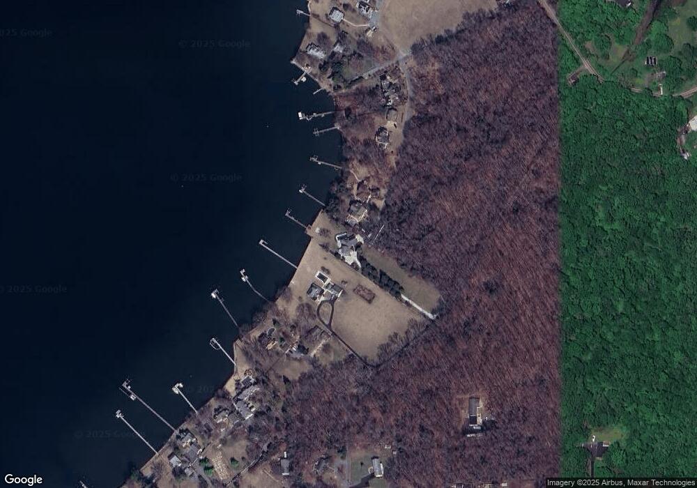
Map
Nearby Homes
- 1161 Steamboat Rd
- 4907 Quince St
- 1209 Johnson Dr
- 1241 Steamboat Rd
- 1205 Avalon Blvd
- 4908 Aspen St
- 1225 Juniper St
- 1340 E West Shady Side Rd
- 0 Riverside Dr Unit C4 MDAA2119968
- 1379 McDonald Rd
- 4951 Dogwood St
- 1306 Spruce St
- 4846 Woods Wharf Rd
- 1462 Snug Harbor Rd
- 1330 Jordan Dr
- 1419 Shady Rest Rd
- Lot 2 Benning Rd
- 1451 Shady Rest Rd
- 946 Benning Rd
- 1006 Henry Ave
- 6522 W Shady Side Rd
- 6522R Hunter Rd
- 6520 Hunter Rd
- 4806 Westward View Rd
- 6524 Hunter Rd
- 4804 Westward View Rd
- 1152 Steamboat Rd
- 4802 Westward View Rd
- 1150 Steamboat Rd
- 1156 Steamboat Rd
- 1170 Steamboat Rd
- 4800 Westward View Rd
- 1110 Steamboat Rd
- 1158 Steamboat Rd
- 1200 Hayes Rd
- 1154 Steamboat Rd
- 1154 Steamboat Rd
- 1154 Steamboat Rd
- 1190 Steamboat Rd
- 1102 Steamboat Rd
Your Personal Tour Guide
Ask me questions while you tour the home.