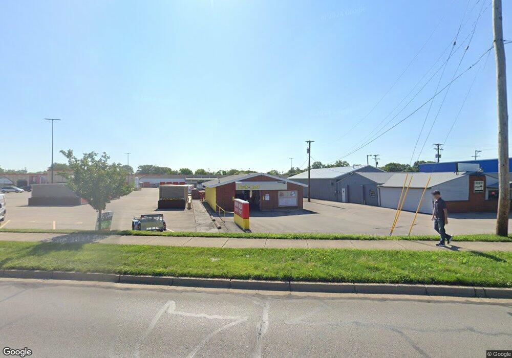
6524 Brandt Pike Dayton, OH 45424
Estimated Value: $201,203
--
Bed
--
Bath
1,980
Sq Ft
$102/Sq Ft
Est. Value
About This Home
This home is located at 6524 Brandt Pike, Dayton, OH 45424 and is currently estimated at $201,203, approximately $101 per square foot. 6524 Brandt Pike is a home located in Montgomery County with nearby schools including Wayne High School and Huber Heights Christian Academy.
Ownership History
Date
Name
Owned For
Owner Type
Purchase Details
Closed on
Aug 18, 2020
Sold by
Legado Llc
Bought by
T M Kwik N Kold Llc
Current Estimated Value
Home Financials for this Owner
Home Financials are based on the most recent Mortgage that was taken out on this home.
Original Mortgage
$93,750
Outstanding Balance
$83,008
Interest Rate
2.9%
Mortgage Type
Future Advance Clause Open End Mortgage
Estimated Equity
$118,195
Purchase Details
Closed on
Oct 6, 2018
Sold by
Dapore Jeffrey W and Dapore Julia
Bought by
Legado Llc
Purchase Details
Closed on
May 16, 2018
Sold by
Estate Of Donald W Dapore
Bought by
Dapore Jeffrey W and Dapore Julia
Create a Home Valuation Report for This Property
The Home Valuation Report is an in-depth analysis detailing your home's value as well as a comparison with similar homes in the area
Home Values in the Area
Average Home Value in this Area
Purchase History
| Date | Buyer | Sale Price | Title Company |
|---|---|---|---|
| T M Kwik N Kold Llc | $125,000 | Sterling Land Title Agcy Inc | |
| Legado Llc | -- | -- | |
| Dapore Jeffrey W | -- | None Available |
Source: Public Records
Mortgage History
| Date | Status | Borrower | Loan Amount |
|---|---|---|---|
| Open | T M Kwik N Kold Llc | $93,750 |
Source: Public Records
Tax History Compared to Growth
Tax History
| Year | Tax Paid | Tax Assessment Tax Assessment Total Assessment is a certain percentage of the fair market value that is determined by local assessors to be the total taxable value of land and additions on the property. | Land | Improvement |
|---|---|---|---|---|
| 2024 | $3,826 | $46,540 | $25,960 | $20,580 |
| 2023 | $3,826 | $46,540 | $25,960 | $20,580 |
| 2022 | $3,917 | $45,620 | $25,450 | $20,170 |
| 2021 | $4,061 | $45,620 | $25,450 | $20,170 |
| 2020 | $3,993 | $45,620 | $25,450 | $20,170 |
| 2019 | $3,930 | $43,150 | $25,450 | $17,700 |
| 2018 | $3,984 | $43,150 | $25,450 | $17,700 |
| 2017 | $3,985 | $43,150 | $25,450 | $17,700 |
| 2016 | $3,916 | $43,150 | $25,450 | $17,700 |
| 2015 | $4,382 | $43,150 | $25,450 | $17,700 |
| 2014 | $4,382 | $43,150 | $25,450 | $17,700 |
| 2012 | -- | $35,190 | $18,610 | $16,580 |
Source: Public Records
Map
Nearby Homes
- 6506 Tellea St
- 4239 Silver Oak Way
- 6739 Evergreen Woods Dr
- 6946 Hubbard Dr
- 6717 Alter Rd
- 5926 Chambersburg Rd
- 6109 Ansbury Dr
- 6673 Celestine St
- 5625 Copley Cir
- 6800 Cicero Ct
- 7030 Highbury Rd
- 5455 Flotron Dr
- 5912 Bavaria Place
- 6245 Longford Rd
- 6601 Grovehill Dr
- 7061 Rio Vista Ct
- 7188 Ballauer Place
- 5732 Benedict Rd
- 7315 Glengate Ct
- 7126 Mandrake Dr
- 6520 Brandt Pike
- 0 Navajo Ave Unit 917464
- 5831 5831
- 5337 SW 5337
- Lot #3 Deergate Dr
- 6561 Brandt Pike
- 6575 Brandt Pike
- 6424 Chambersburg Rd
- 6550 Brandt Pike
- 6422 Chambersburg Rd
- 6422 Chambersburg Rd Unit 6424
- 6430 Chambersburg Rd
- 6484 Brandt Pike
- 6490 Brandt Pike
- 6655 Brandt Pike
- 6440 Chambersburg Rd
- 7075 Chambersburg Rd
- 6519 Tellea St
- 6513 Tellea St
- 6525 Tellea St