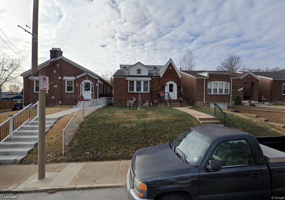
6524 Dale Ave Saint Louis, MO 63139
Franz Park NeighborhoodEstimated Value: $172,654 - $255,000
Studio
1
Bath
2,156
Sq Ft
$100/Sq Ft
Est. Value
About This Home
This home is located at 6524 Dale Ave, Saint Louis, MO 63139 and is currently estimated at $214,664, approximately $99 per square foot. 6524 Dale Ave is a home located in St. Louis City with nearby schools including Mason Elementary School, Long International Middle School, and Roosevelt High School.
Ownership History
Date
Name
Owned For
Owner Type
Purchase Details
Closed on
Jun 5, 2002
Sold by
Bosslet Charles T and Bosslet Janet M
Bought by
Bosslet Charles T and Bosslet Janet M
Current Estimated Value
Home Financials for this Owner
Home Financials are based on the most recent Mortgage that was taken out on this home.
Original Mortgage
$85,000
Interest Rate
6.77%
Mortgage Type
Balloon
Create a Home Valuation Report for This Property
The Home Valuation Report is an in-depth analysis detailing your home's value as well as a comparison with similar homes in the area
Home Values in the Area
Average Home Value in this Area
Purchase History
| Date | Buyer | Sale Price | Title Company |
|---|---|---|---|
| Bosslet Charles T | -- | -- |
Source: Public Records
Mortgage History
| Date | Status | Borrower | Loan Amount |
|---|---|---|---|
| Closed | Bosslet Charles T | $85,000 |
Source: Public Records
Tax History
| Year | Tax Paid | Tax Assessment Tax Assessment Total Assessment is a certain percentage of the fair market value that is determined by local assessors to be the total taxable value of land and additions on the property. | Land | Improvement |
|---|---|---|---|---|
| 2025 | $2,375 | $33,810 | $1,820 | $31,990 |
| 2024 | $2,260 | $28,040 | $1,820 | $26,220 |
| 2023 | $2,260 | $28,040 | $1,820 | $26,220 |
| 2022 | $2,096 | $25,020 | $1,820 | $23,200 |
| 2021 | $2,093 | $25,020 | $1,820 | $23,200 |
| 2020 | $1,987 | $23,920 | $1,820 | $22,100 |
| 2019 | $1,980 | $23,920 | $1,820 | $22,100 |
| 2018 | $1,747 | $20,400 | $1,820 | $18,580 |
| 2017 | $1,717 | $20,410 | $1,820 | $18,580 |
| 2016 | $1,541 | $18,050 | $1,820 | $16,230 |
| 2015 | $1,398 | $18,050 | $1,820 | $16,230 |
| 2014 | $1,399 | $18,050 | $1,820 | $16,230 |
| 2013 | -- | $18,070 | $1,820 | $16,250 |
Source: Public Records
Map
Nearby Homes
- 6564 Villa Ave
- 6444 Plateau Ave
- 1507 Brock St
- 6410 Wade Ave
- 1448 Tamm Ave Unit 1S
- 6743 W Park Ave
- 6764 W Park Ave
- 1347 Graham St
- 6736 Wise Ave
- 1518 Graham St
- 6758 Wise Ave
- 6722 Dolan Place
- 1623 Forest Ave
- 1625 Forest Ave
- 1324 Graham St
- 6817 W Park Ave
- 1470 Sproule Ave
- 1122 Grandview Place
- 1524 Mccausland Ave
- 6815 Wise Ave
- 6528 Dale Ave
- 6520 Dale Ave
- 6532 Dale Ave
- 1511 Sanford Ave
- 6536 Dale Ave
- 6514 Dale Ave
- 1514 Louisville Ave
- 1515 Sanford Ave
- 6540 Dale Ave
- 6523 Dale Ave
- 1518 Louisville Ave
- 6527 Dale Ave
- 6500 Dale Ave
- 6531 Dale Ave
- 6535 Dale Ave
- 1520 Louisville Ave
- 6495 Lloyd Ave
- 6490 Lloyd Ave
- 1523 Sanford Ave
- 6539 Dale Ave
Your Personal Tour Guide
Ask me questions while you tour the home.