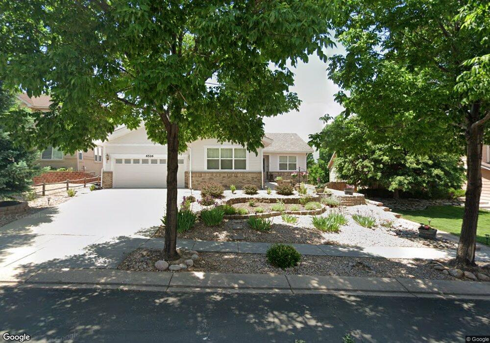
6526 Oasis Butte Dr Colorado Springs, CO 80923
Norwood NeighborhoodEstimated Value: $712,000 - $789,000
6
Beds
5
Baths
2,690
Sq Ft
$273/Sq Ft
Est. Value
About This Home
This home is located at 6526 Oasis Butte Dr, Colorado Springs, CO 80923 and is currently estimated at $733,204, approximately $272 per square foot. 6526 Oasis Butte Dr is a home located in El Paso County with nearby schools including Martinez Elementary School, Jenkins Middle School, and Doherty High School.
Ownership History
Date
Name
Owned For
Owner Type
Purchase Details
Closed on
Aug 22, 2008
Sold by
Hitzler Lauralee M and Hitzler Ryen S
Bought by
Pear Esmeralda I
Current Estimated Value
Home Financials for this Owner
Home Financials are based on the most recent Mortgage that was taken out on this home.
Original Mortgage
$265,000
Outstanding Balance
$174,693
Interest Rate
6.42%
Mortgage Type
Unknown
Estimated Equity
$558,511
Purchase Details
Closed on
Jan 24, 2003
Sold by
U S Home Corp
Bought by
Hitzler Lauralee M and Hitzler Ryen S
Home Financials for this Owner
Home Financials are based on the most recent Mortgage that was taken out on this home.
Original Mortgage
$282,982
Interest Rate
5.9%
Mortgage Type
VA
Create a Home Valuation Report for This Property
The Home Valuation Report is an in-depth analysis detailing your home's value as well as a comparison with similar homes in the area
Home Values in the Area
Average Home Value in this Area
Purchase History
| Date | Buyer | Sale Price | Title Company |
|---|---|---|---|
| Pear Esmeralda I | $400,000 | Empire Title Co Springs Llc | |
| Hitzler Lauralee M | $293,503 | North American Title |
Source: Public Records
Mortgage History
| Date | Status | Borrower | Loan Amount |
|---|---|---|---|
| Open | Pear Esmeralda I | $265,000 | |
| Previous Owner | Hitzler Lauralee M | $282,982 |
Source: Public Records
Tax History Compared to Growth
Tax History
| Year | Tax Paid | Tax Assessment Tax Assessment Total Assessment is a certain percentage of the fair market value that is determined by local assessors to be the total taxable value of land and additions on the property. | Land | Improvement |
|---|---|---|---|---|
| 2025 | $2,774 | $51,990 | -- | -- |
| 2024 | $2,255 | $51,070 | $5,530 | $45,540 |
| 2023 | $2,255 | $51,070 | $5,530 | $45,540 |
| 2022 | $1,926 | $39,110 | $4,900 | $34,210 |
| 2021 | $2,083 | $40,240 | $5,040 | $35,200 |
| 2020 | $2,839 | $39,540 | $4,380 | $35,160 |
| 2019 | $2,825 | $39,540 | $4,380 | $35,160 |
| 2018 | $2,736 | $35,390 | $4,410 | $30,980 |
| 2017 | $2,599 | $35,390 | $4,410 | $30,980 |
| 2016 | $2,223 | $35,900 | $4,480 | $31,420 |
| 2015 | $2,214 | $35,900 | $4,480 | $31,420 |
| 2014 | $2,092 | $32,630 | $4,480 | $28,150 |
Source: Public Records
Map
Nearby Homes
- 6515 Medicine Springs Dr
- 6463 Bluffmont Point
- 4431 Flat Top Place
- 4224 Mesa Overlook Point
- 6662 Barrel Race Dr
- 4229 High Timberline View
- 4217 High Timberline View
- 4543 Clark Fork Place
- 5745 Doe Skin Ct
- 4265 Dolphin Cir
- 6565 Baytree Grove
- 4718 Rowland Heights
- 4735 Seton Place
- 6256 Fowler Mill Point
- 6243 Fowler Mill Point
- 5739 Wells Fargo Dr E
- 6315 Andersen Mill Heights Unit 206
- 4790 Wells Branch Heights Unit 204
- 6030 Barnacle Ct
- 6103 Treeledge Dr
- 6498 Oasis Butte Dr
- 6554 Oasis Butte Dr
- 6470 Oasis Butte Dr
- 6582 Oasis Butte Dr
- 6497 Oasis Butte Dr
- 6610 Oasis Butte Dr
- 6469 Oasis Butte Dr
- 6336 Great Bear Ct
- 6553 Oasis Butte Dr
- 6441 Oasis Butte Dr
- 6581 Oasis Butte Dr
- 6638 Oasis Butte Dr
- 6318 Great Bear Ct
- 6609 Oasis Butte Dr
- 6564 Barrel Race Dr
- 6413 Oasis Butte Dr
- 6530 Gemfield Dr
- 6666 Oasis Butte Dr
- 6403 Bluffmont Point
- 6407 Bluffmont Point