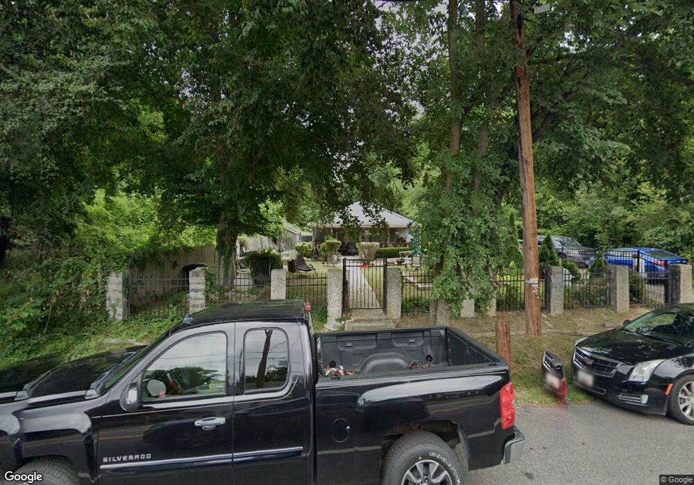
6528 Bock Rd Oxon Hill, MD 20745
Estimated Value: $330,989 - $384,000
--
Bed
1
Bath
1,080
Sq Ft
$326/Sq Ft
Est. Value
About This Home
This home is located at 6528 Bock Rd, Oxon Hill, MD 20745 and is currently estimated at $351,997, approximately $325 per square foot. 6528 Bock Rd is a home located in Prince George's County with nearby schools including Flintstone Elementary School, Oxon Hill Middle School, and Oxon Hill High School.
Ownership History
Date
Name
Owned For
Owner Type
Purchase Details
Closed on
Jan 9, 2001
Sold by
Crawley Wendall R
Bought by
Yacat Edgardo M and Yacat Mary A
Current Estimated Value
Purchase Details
Closed on
Sep 5, 2000
Sold by
Secretary Of H U D
Bought by
Crawley Wendall R
Purchase Details
Closed on
Dec 6, 1999
Sold by
Proctor Anthony J
Bought by
Secretary Of H U D and Union Center Plaza Phase Ii
Purchase Details
Closed on
May 7, 1996
Sold by
Proctor Mae A
Bought by
Proctor Anthony J
Create a Home Valuation Report for This Property
The Home Valuation Report is an in-depth analysis detailing your home's value as well as a comparison with similar homes in the area
Home Values in the Area
Average Home Value in this Area
Purchase History
| Date | Buyer | Sale Price | Title Company |
|---|---|---|---|
| Yacat Edgardo M | $110,500 | -- | |
| Crawley Wendall R | $82,000 | -- | |
| Secretary Of H U D | $161,775 | -- | |
| Proctor Anthony J | $60,000 | -- |
Source: Public Records
Tax History Compared to Growth
Tax History
| Year | Tax Paid | Tax Assessment Tax Assessment Total Assessment is a certain percentage of the fair market value that is determined by local assessors to be the total taxable value of land and additions on the property. | Land | Improvement |
|---|---|---|---|---|
| 2025 | $3,574 | $296,367 | -- | -- |
| 2024 | $3,574 | $288,100 | $80,300 | $207,800 |
| 2023 | $2,875 | $258,533 | $0 | $0 |
| 2022 | $3,202 | $228,967 | $0 | $0 |
| 2021 | $3,018 | $199,400 | $77,600 | $121,800 |
| 2020 | $3,001 | $199,400 | $77,600 | $121,800 |
| 2019 | $2,970 | $199,400 | $77,600 | $121,800 |
| 2018 | $2,923 | $199,400 | $77,600 | $121,800 |
| 2017 | $2,808 | $182,967 | $0 | $0 |
| 2016 | -- | $166,533 | $0 | $0 |
| 2015 | $2,605 | $150,100 | $0 | $0 |
| 2014 | $2,605 | $150,100 | $0 | $0 |
Source: Public Records
Map
Nearby Homes
- 6524 Buckland Ct
- 6348 Stonewain Ct
- 6900 Stirling St
- 6225 Dimrill Ct
- 2107 High Timber Rd
- 2016 Belfast Dr
- 6120 Brandyhall Ct
- 6903 Bock Rd
- 1007 Comanche Dr
- 5926 Shoshone Dr
- 1110 Vinson St
- 7009 Shagbark Ct
- 7100 Southlawn Dr
- 2004 Wolf St
- 5605 Fargo Ave
- 6510 Trowbridge Place
- 1805 Jarvis Ave
- 1206 Crisfield Dr
- 5812 Shoshone Dr
- 5604 Dundalk Dr
- Parcel 248 off Bock Rd
- 6520 Bock Rd
- 6550 Bock Rd
- Parcel 248 off Thomp Thompson Ln
- 0 Bock Rd Unit PG10184374
- 0 Bock Rd Unit PG10184372
- 0 Bock Rd Unit PG10184370
- 0 Bock Rd Unit PG9847437
- 0 Bock Rd Thompson Lane Parcel 248 Unit MDPG592252
- 245 Bock Rd
- 6521 Bock Rd
- 6533 Bock Rd
- 6548 Bock Rd
- 6529 Bock Rd
- 6505 Bock Rd
- 6513 Bock Rd
- 6590 Bock Terrace
- 6509 Bock Rd
- 6501 Bock Rd
- 6525 Bock Rd