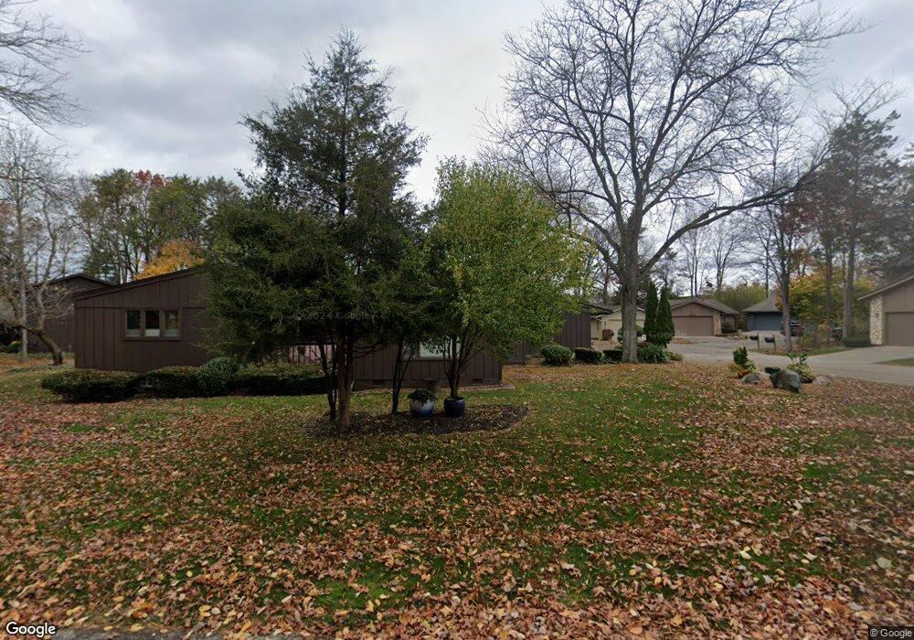
6528 Red Cedar Ln Unit 45 West Bloomfield, MI 48324
Estimated Value: $253,000 - $281,000
2
Beds
2
Baths
1,318
Sq Ft
$200/Sq Ft
Est. Value
About This Home
This home is located at 6528 Red Cedar Ln Unit 45, West Bloomfield, MI 48324 and is currently estimated at $263,540, approximately $199 per square foot. 6528 Red Cedar Ln Unit 45 is a home located in Oakland County with nearby schools including Waterford Montessori Academy, Our Lady Of Refuge School, and Lakecrest Baptist School.
Ownership History
Date
Name
Owned For
Owner Type
Purchase Details
Closed on
Sep 30, 2013
Sold by
Scholl Mary Ann
Bought by
Stringer Nathan
Current Estimated Value
Home Financials for this Owner
Home Financials are based on the most recent Mortgage that was taken out on this home.
Original Mortgage
$114,855
Outstanding Balance
$86,305
Interest Rate
4.5%
Mortgage Type
New Conventional
Estimated Equity
$177,235
Purchase Details
Closed on
May 29, 1998
Sold by
Kosinski Alice
Bought by
Scholl Mary Ann
Create a Home Valuation Report for This Property
The Home Valuation Report is an in-depth analysis detailing your home's value as well as a comparison with similar homes in the area
Home Values in the Area
Average Home Value in this Area
Purchase History
| Date | Buyer | Sale Price | Title Company |
|---|---|---|---|
| Stringer Nathan | $120,900 | Title Connect Llc | |
| Scholl Mary Ann | $133,000 | -- |
Source: Public Records
Mortgage History
| Date | Status | Borrower | Loan Amount |
|---|---|---|---|
| Open | Stringer Nathan | $114,855 |
Source: Public Records
Tax History Compared to Growth
Tax History
| Year | Tax Paid | Tax Assessment Tax Assessment Total Assessment is a certain percentage of the fair market value that is determined by local assessors to be the total taxable value of land and additions on the property. | Land | Improvement |
|---|---|---|---|---|
| 2024 | $1,714 | $114,750 | $0 | $0 |
| 2022 | $1,641 | $96,940 | $22,500 | $74,440 |
| 2021 | $2,494 | $94,190 | $0 | $0 |
| 2020 | $1,609 | $91,780 | $22,500 | $69,280 |
| 2018 | $2,405 | $79,180 | $10,590 | $68,590 |
| 2015 | -- | $62,820 | $0 | $0 |
| 2014 | -- | $57,840 | $0 | $0 |
| 2011 | -- | $52,220 | $0 | $0 |
Source: Public Records
Map
Nearby Homes
- 6620 Red Cedar Ln Unit 37
- 6726 Red Cedar Ln
- 1992 Swaranne Dr
- 1837 Henbert Rd
- 2236 Locklin Ln
- 1811 Henbert Rd
- 1985 Christopher Ct
- 1604 Petrolia
- VAC Mercedes Ave
- 6034 Beachwood Dr
- 6057 Beachwood Dr
- 2112 Keylon Dr
- 6258 Lindsay Ct
- 6289 Lindsay Ct
- VL Tamson St
- 1701 Marylestone Dr
- 2140 Timberridge Ct
- 1644 Marylestone Dr
- 9999 Cooley Lake Rd
- Lot 94 Hiller Rd
- 6528 Red Cedar Ln
- 6522 Red Cedar Ln
- 6516 Red Cedar Ln
- 6540 Red Cedar Ln
- 6546 Red Cedar Ln
- 6504 Red Cedar Ln
- 6510 Red Cedar Ln
- 6552 Red Cedar Ln
- 2090 Lochaven Rd Unit 1
- 2070 Lochaven Rd
- 6602 Red Cedar Ln Unit 40
- 6614 Red Cedar Ln
- 6503 Red Cedar Ln
- 6503 Red Cedar Ln Unit 50
- 6575 Red Cedar Ln Unit 62 62
- 6575 Red Cedar Ln Unit 62
- 2050 Lochaven Rd
- 6626 Red Cedar Ln Unit 36
- 6569 Red Cedar Ln
- 6509 Red Cedar Ln