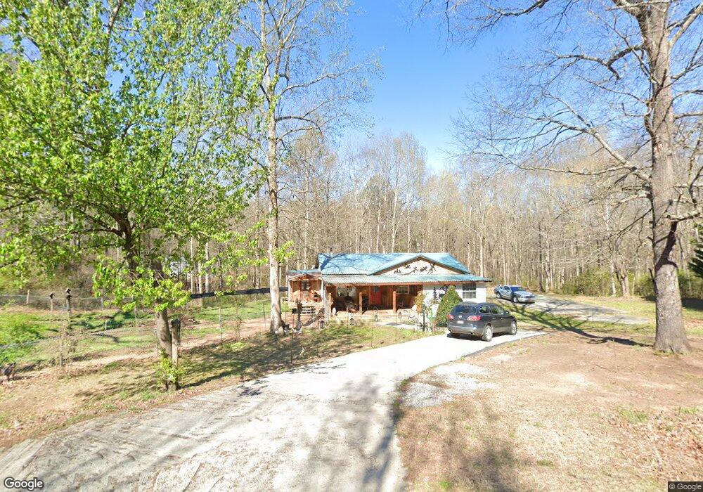
653 Duncan Rd Commerce, GA 30530
Estimated Value: $186,000 - $322,000
3
Beds
1
Bath
1,218
Sq Ft
$205/Sq Ft
Est. Value
About This Home
This home is located at 653 Duncan Rd, Commerce, GA 30530 and is currently estimated at $249,712, approximately $205 per square foot. 653 Duncan Rd is a home located in Banks County with nearby schools including Banks County Primary School, Banks County Elementary School, and Banks County Middle School.
Ownership History
Date
Name
Owned For
Owner Type
Purchase Details
Closed on
Mar 10, 2011
Sold by
Fannie Mae
Bought by
Fish Ricky J and Fish Astrid M
Current Estimated Value
Purchase Details
Closed on
Apr 6, 2010
Sold by
Suntrust Mortgage Inc
Bought by
Federal National Mortgage Association
Purchase Details
Closed on
Apr 13, 2007
Sold by
Roberts Audrey E
Bought by
Lee Kevin
Home Financials for this Owner
Home Financials are based on the most recent Mortgage that was taken out on this home.
Original Mortgage
$93,000
Interest Rate
6.1%
Mortgage Type
New Conventional
Create a Home Valuation Report for This Property
The Home Valuation Report is an in-depth analysis detailing your home's value as well as a comparison with similar homes in the area
Home Values in the Area
Average Home Value in this Area
Purchase History
| Date | Buyer | Sale Price | Title Company |
|---|---|---|---|
| Fish Ricky J | $27,910 | -- | |
| Federal National Mortgage Association | $46,600 | -- | |
| Suntrust Mortgage Inc | $46,600 | -- | |
| Lee Kevin | $93,000 | -- |
Source: Public Records
Mortgage History
| Date | Status | Borrower | Loan Amount |
|---|---|---|---|
| Previous Owner | Lee Kevin | $93,000 |
Source: Public Records
Tax History Compared to Growth
Tax History
| Year | Tax Paid | Tax Assessment Tax Assessment Total Assessment is a certain percentage of the fair market value that is determined by local assessors to be the total taxable value of land and additions on the property. | Land | Improvement |
|---|---|---|---|---|
| 2025 | $1,297 | $74,029 | $24,744 | $49,285 |
| 2024 | $1,297 | $69,938 | $22,494 | $47,444 |
| 2023 | $694 | $54,120 | $20,286 | $33,834 |
| 2022 | $905 | $45,073 | $16,174 | $28,899 |
| 2021 | $824 | $38,883 | $12,442 | $26,441 |
| 2020 | $660 | $30,762 | $9,165 | $21,597 |
| 2019 | $663 | $30,762 | $9,165 | $21,597 |
| 2018 | $651 | $29,772 | $8,535 | $21,237 |
| 2017 | $642 | $28,287 | $7,422 | $20,865 |
| 2016 | $661 | $28,287 | $7,422 | $20,865 |
| 2015 | -- | $25,801 | $7,422 | $18,380 |
| 2014 | -- | $26,020 | $7,640 | $18,380 |
| 2013 | -- | $26,020 | $7,640 | $18,380 |
Source: Public Records
Map
Nearby Homes
- 163 M t Trail
- 166 Freedom Ln
- 0 Freedom Ln Unit 9B
- 0 Freedom Ln Unit 18C 10380663
- 0 Freedom Ln Unit 9D
- 0 Freedom Ln Unit 9C
- 0 Freedom Ln Unit 18B 10379747
- 0 Freedom Ln Unit 9E
- 0 Carson Rd Unit LOT 32 10594149
- 0 Carson Rd Unit 7640890
- 731 Borders Rd
- 1679 Fort Lamar Rd
- 1065 Hebron Rd
- 482 Hooper Rd
- 139 Meadow Lake Dr
- 161 Meadow Lake Dr
- 333 Sims Bridge Rd
- 119 Gordon Rd
- 7527 Highway 326