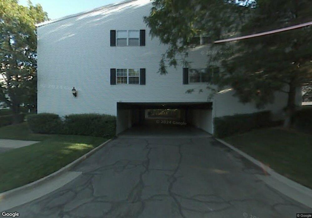
653 E 4025 S Unit C Salt Lake City, UT 84107
Estimated Value: $391,000 - $394,000
2
Beds
2
Baths
1,320
Sq Ft
$298/Sq Ft
Est. Value
About This Home
This home is located at 653 E 4025 S Unit C, Salt Lake City, UT 84107 and is currently estimated at $393,232, approximately $297 per square foot. 653 E 4025 S Unit C is a home located in Salt Lake County with nearby schools including James E Moss Elementary School, Bonneville Junior High School, and Cottonwood High School.
Ownership History
Date
Name
Owned For
Owner Type
Purchase Details
Closed on
Jun 12, 2018
Sold by
Field Mark
Bought by
Lane Sandra
Current Estimated Value
Home Financials for this Owner
Home Financials are based on the most recent Mortgage that was taken out on this home.
Original Mortgage
$213,750
Outstanding Balance
$184,858
Interest Rate
4.5%
Mortgage Type
New Conventional
Estimated Equity
$208,374
Purchase Details
Closed on
Jul 8, 2009
Sold by
Baker Jean
Bought by
Field Mark
Home Financials for this Owner
Home Financials are based on the most recent Mortgage that was taken out on this home.
Original Mortgage
$152,400
Interest Rate
5.25%
Mortgage Type
Purchase Money Mortgage
Purchase Details
Closed on
Apr 27, 1998
Sold by
Baker Jean
Bought by
Baker Jean
Home Financials for this Owner
Home Financials are based on the most recent Mortgage that was taken out on this home.
Original Mortgage
$93,700
Interest Rate
7.06%
Mortgage Type
Purchase Money Mortgage
Create a Home Valuation Report for This Property
The Home Valuation Report is an in-depth analysis detailing your home's value as well as a comparison with similar homes in the area
Home Values in the Area
Average Home Value in this Area
Purchase History
| Date | Buyer | Sale Price | Title Company |
|---|---|---|---|
| Lane Sandra | -- | First American Title Ins | |
| Field Mark | -- | Meridian Title | |
| Baker Jean | -- | -- |
Source: Public Records
Mortgage History
| Date | Status | Borrower | Loan Amount |
|---|---|---|---|
| Open | Lane Sandra | $213,750 | |
| Previous Owner | Field Mark | $152,400 | |
| Previous Owner | Baker Jean | $93,700 |
Source: Public Records
Tax History Compared to Growth
Tax History
| Year | Tax Paid | Tax Assessment Tax Assessment Total Assessment is a certain percentage of the fair market value that is determined by local assessors to be the total taxable value of land and additions on the property. | Land | Improvement |
|---|---|---|---|---|
| 2025 | $2,259 | $354,300 | $106,300 | $248,000 |
| 2024 | $2,259 | $351,800 | $105,500 | $246,300 |
| 2023 | $2,239 | $336,300 | $100,900 | $235,400 |
| 2022 | $2,167 | $327,800 | $98,300 | $229,500 |
| 2021 | $2,024 | $265,400 | $79,600 | $185,800 |
| 2020 | $1,917 | $237,600 | $71,300 | $166,300 |
| 2019 | $1,775 | $214,800 | $64,400 | $150,400 |
| 2018 | $1,697 | $197,700 | $59,300 | $138,400 |
| 2017 | $1,466 | $178,800 | $53,600 | $125,200 |
| 2016 | $1,364 | $168,200 | $50,400 | $117,800 |
| 2015 | $1,387 | $160,100 | $48,000 | $112,100 |
| 2014 | $1,403 | $158,500 | $47,500 | $111,000 |
Source: Public Records
Map
Nearby Homes
- 651 E 4025 S Unit G
- 4040 S 685 E Unit F
- 4040 S 685 E Unit F
- 657 E 4065 S Unit C
- 779 E 4070 S
- 602 E Betsey Cove Unit 20
- 599 E Betsey Cove Unit 23
- 568 E Dolores Cove Unit 4
- 830 E 3990 S Unit D
- 3965 S 805 E Unit B
- Type B3 Plan at The Monroe - theMONROE
- 3938 S 805 E Unit A
- 3924 S 805 E Unit B
- 825 E 3990 S Unit C
- 689 E 4149 S
- 3970 S 840 E Unit A
- 4178 S 650 E
- 4175 S 590 E
- 3812 S 500 E
- 3944 S 900 E Unit 204
- 653 E 4025 S Unit D
- 653 E 4025 S Unit B
- 653 E 4025 S Unit A
- 653 E 4025 S Unit 171 C
- 667 E 4025 S Unit D
- 667 E 4025 S Unit A
- 667 E 4025 S Unit C
- 667 E 4025 S Unit B
- 662 E 4025 S Unit G
- 662 E 4025 S Unit F
- 662 E 4025 S Unit H
- 662 E 4025 S Unit E
- 660 E 4025 S Unit A
- 660 E 4025 S Unit B
- 660 E 4025 S Unit D
- 660 E 4025 S Unit C
- 665 E 4025 S Unit G
- 665 E 4025 S Unit E
- 665 E 4025 S Unit F
- 665 E 4025 S