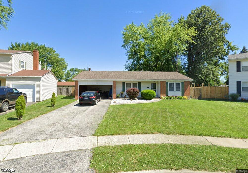
653 Mcintyre Ln Maumee, OH 43537
Estimated Value: $173,000 - $209,799
3
Beds
1
Bath
1,296
Sq Ft
$152/Sq Ft
Est. Value
About This Home
This home is located at 653 Mcintyre Ln, Maumee, OH 43537 and is currently estimated at $197,450, approximately $152 per square foot. 653 Mcintyre Ln is a home located in Lucas County with nearby schools including Fairfield Elementary School, Maumee Intermediate School, and Maumee Middle School.
Ownership History
Date
Name
Owned For
Owner Type
Purchase Details
Closed on
May 24, 1995
Sold by
Matheny Shirley A
Bought by
Olejownik Carolyn J
Current Estimated Value
Home Financials for this Owner
Home Financials are based on the most recent Mortgage that was taken out on this home.
Original Mortgage
$45,000
Interest Rate
8.5%
Mortgage Type
New Conventional
Create a Home Valuation Report for This Property
The Home Valuation Report is an in-depth analysis detailing your home's value as well as a comparison with similar homes in the area
Home Values in the Area
Average Home Value in this Area
Purchase History
| Date | Buyer | Sale Price | Title Company |
|---|---|---|---|
| Olejownik Carolyn J | $90,000 | -- |
Source: Public Records
Mortgage History
| Date | Status | Borrower | Loan Amount |
|---|---|---|---|
| Previous Owner | Olejownik Carolyn J | $45,000 |
Source: Public Records
Tax History Compared to Growth
Tax History
| Year | Tax Paid | Tax Assessment Tax Assessment Total Assessment is a certain percentage of the fair market value that is determined by local assessors to be the total taxable value of land and additions on the property. | Land | Improvement |
|---|---|---|---|---|
| 2024 | $1,586 | $58,940 | $12,320 | $46,620 |
| 2023 | $2,803 | $46,165 | $9,940 | $36,225 |
| 2022 | $2,521 | $46,165 | $9,940 | $36,225 |
| 2021 | $2,662 | $46,165 | $9,940 | $36,225 |
| 2020 | $2,500 | $40,040 | $7,875 | $32,165 |
| 2019 | $2,438 | $40,040 | $7,875 | $32,165 |
| 2018 | $2,388 | $40,040 | $7,875 | $32,165 |
| 2017 | $2,386 | $39,130 | $7,700 | $31,430 |
| 2016 | $2,359 | $111,800 | $22,000 | $89,800 |
| 2015 | $2,347 | $111,800 | $22,000 | $89,800 |
| 2014 | $2,169 | $38,360 | $7,560 | $30,800 |
| 2013 | $2,169 | $38,360 | $7,560 | $30,800 |
Source: Public Records
Map
Nearby Homes
- 4501 Thackeray Rd
- 652 Mcintyre Ln
- 1441 Bradshaw Ct
- 1409 Bradshaw Ct
- 538 Cambridge Park S
- 541 Fairfield Park Dr
- 611 Greenfield Dr
- 1466 Wilderness Dr
- 4237 Brogan Dr
- 422 Chesterfield Ln
- 1736 Parkway Dr N
- 2451 Eastgate Rd
- 4534 Heathercove Place
- 1381 Junior Dr
- 2566 Green Valley Dr
- 2320 Belvedere Dr
- 54 Homestead Place Unit 54
- 1539 Cass Rd
- 1172 Shelly Ave
- 5125 Stengel Ave
- 649 Mcintyre Ln
- 657 Mcintyre Ln
- 645 Mcintyre Ln
- 4425 Thackeray Rd
- 4429 Thackeray Rd
- 664 Mcintyre Ln
- 4419 Thackeray Rd
- 4435 Thackeray Rd
- 4415 Thackeray Rd
- 641 Mcintyre Ln
- 4445 Thackeray Rd
- 660 Mcintyre Ln
- 1819 Key St
- 656 Mcintyre Ln
- 4449 Thackeray Rd
- 648 Mcintyre Ln
- 4407 Thackeray Rd
- 637 Mcintyre Ln
- 1901 Key St
- 644 Mcintyre Ln