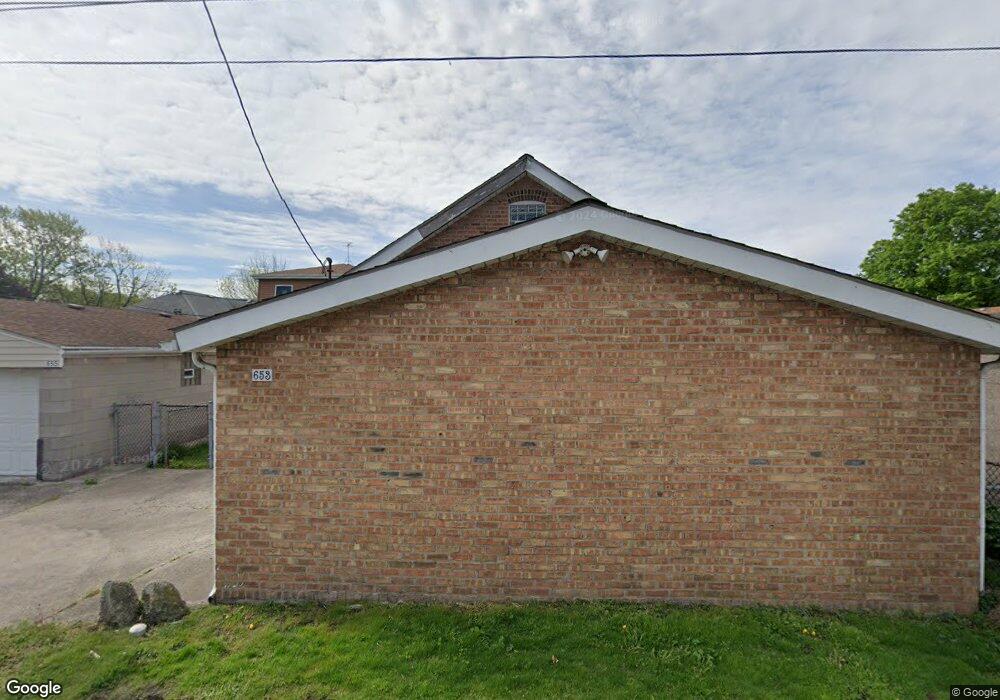
653 Stewart Ct Whiting, IN 46394
Estimated Value: $188,698 - $235,000
2
Beds
1
Bath
1,040
Sq Ft
$198/Sq Ft
Est. Value
About This Home
This home is located at 653 Stewart Ct, Whiting, IN 46394 and is currently estimated at $206,175, approximately $198 per square foot. 653 Stewart Ct is a home located in Lake County with nearby schools including Benjamin Franklin Elementary School, Eggers Middle School, and Hammond High School.
Ownership History
Date
Name
Owned For
Owner Type
Purchase Details
Closed on
Mar 7, 2008
Sold by
Sandrick Robert A
Bought by
Shabaz Nicole R
Current Estimated Value
Home Financials for this Owner
Home Financials are based on the most recent Mortgage that was taken out on this home.
Original Mortgage
$94,500
Outstanding Balance
$57,694
Interest Rate
5.37%
Mortgage Type
Purchase Money Mortgage
Estimated Equity
$148,481
Purchase Details
Closed on
Dec 27, 2004
Sold by
Ward Bernadine J
Bought by
Sandrick Robert A
Home Financials for this Owner
Home Financials are based on the most recent Mortgage that was taken out on this home.
Original Mortgage
$48,000
Interest Rate
5.78%
Mortgage Type
Balloon
Create a Home Valuation Report for This Property
The Home Valuation Report is an in-depth analysis detailing your home's value as well as a comparison with similar homes in the area
Home Values in the Area
Average Home Value in this Area
Purchase History
| Date | Buyer | Sale Price | Title Company |
|---|---|---|---|
| Shabaz Nicole R | -- | Chicago Title Insurance Co | |
| Sandrick Robert A | -- | Chicago Title Insurance Comp |
Source: Public Records
Mortgage History
| Date | Status | Borrower | Loan Amount |
|---|---|---|---|
| Open | Shabaz Nicole R | $94,500 | |
| Previous Owner | Sandrick Robert A | $48,000 |
Source: Public Records
Tax History Compared to Growth
Tax History
| Year | Tax Paid | Tax Assessment Tax Assessment Total Assessment is a certain percentage of the fair market value that is determined by local assessors to be the total taxable value of land and additions on the property. | Land | Improvement |
|---|---|---|---|---|
| 2024 | $7,074 | $165,600 | $37,300 | $128,300 |
| 2023 | $1,848 | $148,000 | $34,500 | $113,500 |
| 2022 | $1,848 | $143,400 | $34,500 | $108,900 |
| 2021 | $1,562 | $122,500 | $17,400 | $105,100 |
| 2020 | $1,473 | $115,900 | $17,400 | $98,500 |
| 2019 | $1,482 | $109,200 | $17,400 | $91,800 |
| 2018 | $1,427 | $101,100 | $17,400 | $83,700 |
| 2017 | $1,496 | $96,900 | $17,400 | $79,500 |
| 2016 | $1,300 | $94,200 | $17,400 | $76,800 |
| 2014 | $1,035 | $86,400 | $17,300 | $69,100 |
| 2013 | $1,141 | $91,400 | $17,400 | $74,000 |
Source: Public Records
Map
Nearby Homes
- 1717 Warwick Ave
- 1709 Parkview Ave
- 1726 Davis Ave
- 1944 Warwick Ave
- 1539 Warwick Ave
- 1529 Warwick Ave
- 1916 Wespark Ave
- 2024 Lake Ave
- 1014 Reese Ave
- 1430 Stanton Ave
- 2231 Davis Ave
- 1514 Amy Ave
- 1643 Roberts Ave
- 1710 Atchison Ave
- 1423 Lake Ave
- 1409 Lake Ave
- 1511 Roberts Ave
- 1422 Roberts Ave
- 2036 Atchison Ave
- 1630 Cleveland Ave
- 655 Stewart Ct
- 649 Stewart Ct
- 647 Stewart Ct
- 657 Stewart Ct
- 643 Stewart Ct
- 1817 Sophies Ln
- 1818 Warwick Ave
- 663 Stewart Ct
- 641 Stewart Ct
- 1810 Warwick Ave
- 642 118th St
- 1829 Warwick Ave
- 1823 Warwick Ave
- 1819 Warwick Ave
- 1822 Sophies Ln
- 1818 Sophies Ln
- 629 Stewart Ct
- 1810 Brown Ave
- 662 Stewart Ct
- 1812 Sophies Ln