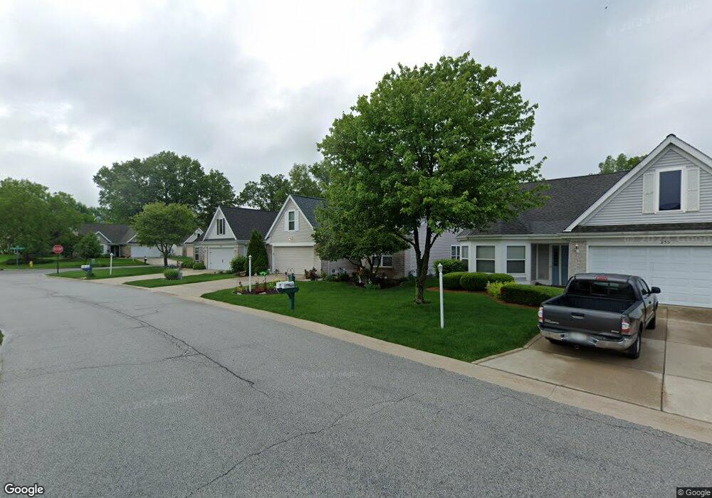
653 Surrey Walk Dr Valparaiso, IN 46385
Estimated Value: $320,369 - $340,000
2
Beds
2
Baths
2,019
Sq Ft
$163/Sq Ft
Est. Value
About This Home
This home is located at 653 Surrey Walk Dr, Valparaiso, IN 46385 and is currently estimated at $328,592, approximately $162 per square foot. 653 Surrey Walk Dr is a home located in Porter County with nearby schools including Cooks Corners Elementary School, Ben Franklin Middle School, and Valparaiso High School.
Ownership History
Date
Name
Owned For
Owner Type
Purchase Details
Closed on
Apr 3, 2023
Sold by
Webdell Constance J
Bought by
Rhodus Susan
Current Estimated Value
Home Financials for this Owner
Home Financials are based on the most recent Mortgage that was taken out on this home.
Original Mortgage
$200,000
Outstanding Balance
$194,492
Interest Rate
6.65%
Mortgage Type
New Conventional
Estimated Equity
$134,100
Create a Home Valuation Report for This Property
The Home Valuation Report is an in-depth analysis detailing your home's value as well as a comparison with similar homes in the area
Home Values in the Area
Average Home Value in this Area
Purchase History
| Date | Buyer | Sale Price | Title Company |
|---|---|---|---|
| Rhodus Susan | $300,000 | None Listed On Document |
Source: Public Records
Mortgage History
| Date | Status | Borrower | Loan Amount |
|---|---|---|---|
| Open | Rhodus Susan | $200,000 |
Source: Public Records
Tax History Compared to Growth
Tax History
| Year | Tax Paid | Tax Assessment Tax Assessment Total Assessment is a certain percentage of the fair market value that is determined by local assessors to be the total taxable value of land and additions on the property. | Land | Improvement |
|---|---|---|---|---|
| 2024 | $2,914 | $263,700 | $49,000 | $214,700 |
| 2023 | $3,021 | $250,400 | $45,900 | $204,500 |
| 2022 | $3,001 | $242,200 | $45,900 | $196,300 |
| 2021 | $2,630 | $205,300 | $45,900 | $159,400 |
| 2020 | $2,564 | $197,500 | $43,800 | $153,700 |
| 2019 | $2,411 | $184,300 | $43,800 | $140,500 |
| 2018 | $2,298 | $176,300 | $43,800 | $132,500 |
| 2017 | $2,196 | $173,500 | $43,800 | $129,700 |
| 2016 | $2,103 | $174,500 | $49,900 | $124,600 |
| 2014 | $1,772 | $175,200 | $50,000 | $125,200 |
| 2013 | -- | $166,200 | $49,900 | $116,300 |
Source: Public Records
Map
Nearby Homes
- 3006 Towne Commons Dr
- 553 Lantern Walk
- 773 Forest Glen Dr
- 658 Forest Glen Dr
- 556 Vale Park Rd
- 460 Vale Park Rd
- 1054 Smallwood Trail
- 1350 Winding Brook Dr
- 257 Green Acres Dr
- Harrison Plan at The Brooks - The Brooks at Vale Park
- Martin Plan at The Brooks - The Brooks at Vale Park
- Dune Plan at The Brooks - The Brooks at Vale Park
- Clifty Plan at The Brooks - The Brooks at Vale Park
- The Yale Plan at The Brooks - The Brooks at Vale Park
- The Wetterhorn Plan at The Brooks - The Brooks at Vale Park
- The Torbet Plan at The Brooks - The Brooks at Vale Park
- The Sopris Plan at The Brooks - The Brooks at Vale Park
- The Rainier Plan at The Brooks - The Brooks at Vale Park
- The Princeton Plan at The Brooks - The Brooks at Vale Park
- The Powell II Plan at The Brooks - The Brooks at Vale Park
- 655 Surrey Walk Dr
- 651 Surrey Walk Dr
- 657 Surrey Walk Dr
- 654 Surrey Walk Dr
- 652 Surrey Walk Dr
- 659 Surrey Walk Dr
- 656 Surrey Walk Dr
- 3102 Towne Commons Dr
- 3012 Towne Commons Dr
- 661 Surrey Walk Dr
- 3010 Towne Commons Dr
- 658 Surrey Walk Dr
- 663 Surrey Walk Dr
- 660 Surrey Walk Dr
- 670 Forest Dr
- 655 Forest Dr
- 3008 Towne Commons Dr
- 662 Surrey Walk Dr
- 572 Lantern Walk
- 563 Lantern Walk