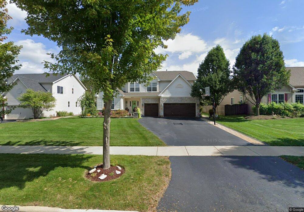
653 Western Dr North Aurora, IL 60542
Nelson Lake NeighborhoodEstimated Value: $513,000 - $613,000
4
Beds
3
Baths
3,216
Sq Ft
$172/Sq Ft
Est. Value
About This Home
This home is located at 653 Western Dr, North Aurora, IL 60542 and is currently estimated at $553,160, approximately $172 per square foot. 653 Western Dr is a home located in Kane County with nearby schools including Fearn Elementary School, Herget Middle School, and West Aurora High School.
Ownership History
Date
Name
Owned For
Owner Type
Purchase Details
Closed on
Aug 19, 2021
Sold by
Cabral Geno G and Cabral Carmen D
Bought by
Cabral Geno G and Cabral Carmen D
Current Estimated Value
Purchase Details
Closed on
Oct 24, 2006
Sold by
Remington Landing Llc
Bought by
Cabral Geno G and Cabral Carmen D
Home Financials for this Owner
Home Financials are based on the most recent Mortgage that was taken out on this home.
Original Mortgage
$217,000
Outstanding Balance
$129,774
Interest Rate
6.5%
Mortgage Type
Purchase Money Mortgage
Estimated Equity
$423,386
Create a Home Valuation Report for This Property
The Home Valuation Report is an in-depth analysis detailing your home's value as well as a comparison with similar homes in the area
Home Values in the Area
Average Home Value in this Area
Purchase History
| Date | Buyer | Sale Price | Title Company |
|---|---|---|---|
| Cabral Geno G | -- | Attorney | |
| Cabral Geno G | $417,500 | Chicago Title Insurance Co |
Source: Public Records
Mortgage History
| Date | Status | Borrower | Loan Amount |
|---|---|---|---|
| Open | Cabral Geno G | $217,000 |
Source: Public Records
Tax History Compared to Growth
Tax History
| Year | Tax Paid | Tax Assessment Tax Assessment Total Assessment is a certain percentage of the fair market value that is determined by local assessors to be the total taxable value of land and additions on the property. | Land | Improvement |
|---|---|---|---|---|
| 2024 | $9,247 | $128,501 | $12,735 | $115,766 |
| 2023 | $8,968 | $115,976 | $11,494 | $104,482 |
| 2022 | $9,697 | $120,913 | $10,549 | $110,364 |
| 2021 | $9,522 | $115,729 | $10,097 | $105,632 |
| 2020 | $9,448 | $113,016 | $9,860 | $103,156 |
| 2019 | $9,761 | $111,357 | $9,715 | $101,642 |
| 2018 | $10,610 | $116,868 | $9,715 | $107,153 |
| 2017 | $10,783 | $115,540 | $9,605 | $105,935 |
| 2016 | $11,343 | $117,912 | $9,352 | $108,560 |
| 2015 | -- | $112,433 | $8,987 | $103,446 |
| 2014 | -- | $106,673 | $10,000 | $96,673 |
| 2013 | -- | $106,673 | $10,000 | $96,673 |
Source: Public Records
Map
Nearby Homes
- 2772 Berman Rd Unit 1A
- 483 Glover Dr
- 512 Bennett Dr
- 2045 Bartram Rd
- 921 N Deerpath Rd
- 876 Fair Meadow Ct
- 868 Fair Meadow Ct
- 916 Fair Meadow St
- 867 Fair Meadow Ct
- 875 Fair Meadow Ct
- 909 Fair Meadow St
- Maxfield Plan at Autumn Ridge
- Morgan Plan at Autumn Ridge
- Newbury Plan at Autumn Ridge
- Quinn Plan at Autumn Ridge
- Paxton Plan at Autumn Ridge
- Leyden Plan at Autumn Ridge
- 1799 Breton Ave
- 917 Fair Meadow St
- 1679 Patterson Ave
- 661 Western Dr
- 645 Western Dr
- 669 Western Dr
- 637 Western Dr
- 2816 Leonard Ln
- 2824 Leonard Ln
- 2808 Leonard Ln
- 2832 Leonard Ln
- 677 Western Dr
- 629 Western Dr
- 652 Western Dr
- 660 Western Dr
- 2800 Leonard Ln
- 644 Western Dr
- 668 Western Dr
- 2840 Leonard Ln
- 685 Western Dr
- 621 Western Dr Unit 2
- 2792 Leonard Ln
- 2848 Leonard Ln