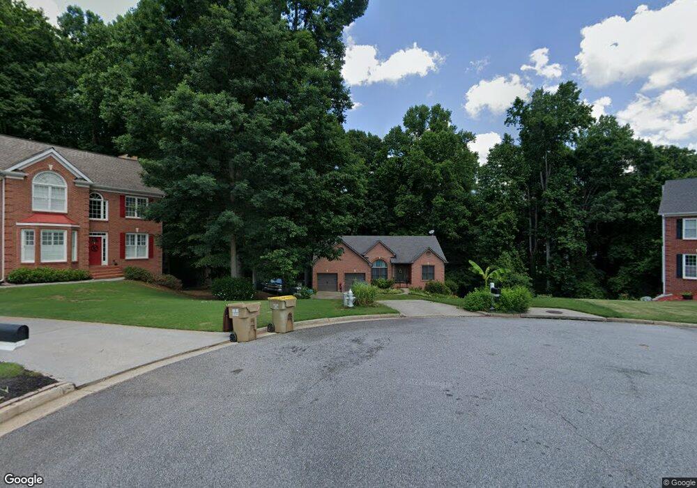
6530 Daniel Ct Cumming, GA 30040
Estimated Value: $505,000 - $572,000
3
Beds
2
Baths
1,940
Sq Ft
$278/Sq Ft
Est. Value
About This Home
This home is located at 6530 Daniel Ct, Cumming, GA 30040 and is currently estimated at $538,676, approximately $277 per square foot. 6530 Daniel Ct is a home located in Forsyth County with nearby schools including Vickery Creek Middle School, West Forsyth High School, and Montessori at Vickery.
Ownership History
Date
Name
Owned For
Owner Type
Purchase Details
Closed on
Sep 29, 1998
Sold by
Rb Bldrs
Bought by
Chadderon Dean R and Chadderon Cindee L
Current Estimated Value
Home Financials for this Owner
Home Financials are based on the most recent Mortgage that was taken out on this home.
Original Mortgage
$164,250
Outstanding Balance
$35,651
Interest Rate
6.8%
Mortgage Type
New Conventional
Estimated Equity
$503,025
Create a Home Valuation Report for This Property
The Home Valuation Report is an in-depth analysis detailing your home's value as well as a comparison with similar homes in the area
Home Values in the Area
Average Home Value in this Area
Purchase History
| Date | Buyer | Sale Price | Title Company |
|---|---|---|---|
| Chadderon Dean R | $172,000 | -- |
Source: Public Records
Mortgage History
| Date | Status | Borrower | Loan Amount |
|---|---|---|---|
| Open | Chadderon Dean R | $164,250 |
Source: Public Records
Tax History Compared to Growth
Tax History
| Year | Tax Paid | Tax Assessment Tax Assessment Total Assessment is a certain percentage of the fair market value that is determined by local assessors to be the total taxable value of land and additions on the property. | Land | Improvement |
|---|---|---|---|---|
| 2025 | $3,519 | $234,708 | $56,000 | $178,708 |
| 2024 | $3,519 | $165,280 | $40,000 | $125,280 |
| 2023 | $3,156 | $165,280 | $40,000 | $125,280 |
| 2022 | $3,215 | $144,860 | $32,000 | $112,860 |
| 2021 | $3,627 | $144,860 | $32,000 | $112,860 |
| 2020 | $3,520 | $139,684 | $32,000 | $107,684 |
| 2019 | $3,206 | $124,228 | $26,000 | $98,228 |
| 2018 | $3,202 | $123,568 | $26,000 | $97,568 |
| 2017 | $2,963 | $111,668 | $26,000 | $85,668 |
| 2016 | $3,010 | $113,908 | $24,000 | $89,908 |
| 2015 | $2,900 | $104,308 | $20,000 | $84,308 |
| 2014 | $2,257 | $85,252 | $0 | $0 |
Source: Public Records
Map
Nearby Homes
- 6515 Bentley Ridge Dr
- 6645 Bentley Ridge Dr
- 6610 Tything Ct
- 6390 Yellow Birch St
- 8014 Holyoke Rd
- 6725 Sweet Cherry Ln
- 6715 Bentley Trail
- 7619 Campground Rd
- 7825 Brands Hatch Blvd
- 7330 Oldbury Place
- 6470 Ivey Meadow Ln
- 7640 Old Camp Landing
- 7880 Brands Hatch Blvd
- 7380 Bates Dr
- 6705 Fox Creek Dr
- 412 Manor Ridge View
- 4235 Danbury Farms Dr
- 6525 Daniel Ct
- 6520 Daniel Ct
- 6655 Misty Ln
- 6510 Daniel Ct
- 6515 Daniel Ct
- 0 Daniel Ct
- 6645 Misty Ln
- 6535 Tyler Way
- 6625 Misty Ln
- 6505 Daniel Ct
- 6745 Bentley Ridge Dr
- 6745 Bentley Ridge Dr Unit 23
- 6675 Misty Ln
- 6725 Bentley Ridge Dr
- 6725 Bentley Ridge Dr Unit 22
- 0 Tyler Way Unit 8956117
- 0 Tyler Way Unit 7073621
- 0 Tyler Way Unit 7396642
- 0 Tyler Way Unit 7520737
- 6605 Misty Ln