6530 Poe Ave Dayton, OH 45414
Estimated Value: $5,685,733
--
Bed
--
Bath
149,770
Sq Ft
$38/Sq Ft
Est. Value
About This Home
This home is located at 6530 Poe Ave, Dayton, OH 45414 and is currently estimated at $5,685,733, approximately $37 per square foot. 6530 Poe Ave is a home located in Montgomery County with nearby schools including Demmitt Elementary School, Smith Middle School, and Butler High School.
Ownership History
Date
Name
Owned For
Owner Type
Purchase Details
Closed on
Nov 14, 2019
Sold by
Poe Holdings Llc
Bought by
Daytona Partners Xxi Llc
Current Estimated Value
Home Financials for this Owner
Home Financials are based on the most recent Mortgage that was taken out on this home.
Original Mortgage
$255,000
Outstanding Balance
$224,557
Interest Rate
3.65%
Mortgage Type
Commercial
Estimated Equity
$5,461,176
Purchase Details
Closed on
Dec 10, 2009
Sold by
Shopsmith Inc
Bought by
Poe Holding Llc
Purchase Details
Closed on
Sep 18, 2008
Sold by
Shopsmith Inc
Bought by
Poe Holdings Llc
Create a Home Valuation Report for This Property
The Home Valuation Report is an in-depth analysis detailing your home's value as well as a comparison with similar homes in the area
Home Values in the Area
Average Home Value in this Area
Purchase History
| Date | Buyer | Sale Price | Title Company |
|---|---|---|---|
| Daytona Partners Xxi Llc | $3,400,000 | Chicago Title Company Llc | |
| Poe Holding Llc | $1,679,998 | Attorney | |
| Poe Holdings Llc | -- | Attorney |
Source: Public Records
Mortgage History
| Date | Status | Borrower | Loan Amount |
|---|---|---|---|
| Open | Daytona Partners Xxi Llc | $255,000 |
Source: Public Records
Tax History Compared to Growth
Tax History
| Year | Tax Paid | Tax Assessment Tax Assessment Total Assessment is a certain percentage of the fair market value that is determined by local assessors to be the total taxable value of land and additions on the property. | Land | Improvement |
|---|---|---|---|---|
| 2024 | $104,600 | $1,441,740 | $133,310 | $1,308,430 |
| 2023 | $104,600 | $1,441,740 | $133,310 | $1,308,430 |
| 2022 | $95,450 | $1,201,450 | $111,090 | $1,090,360 |
| 2021 | $96,531 | $1,201,450 | $111,090 | $1,090,360 |
| 2020 | $95,221 | $1,190,000 | $111,090 | $1,078,910 |
| 2019 | $56,859 | $704,800 | $111,090 | $593,710 |
| 2018 | $57,423 | $704,800 | $111,090 | $593,710 |
| 2017 | $57,215 | $704,800 | $111,090 | $593,710 |
| 2016 | $56,970 | $704,800 | $111,090 | $593,710 |
| 2015 | $56,640 | $704,800 | $111,090 | $593,710 |
| 2014 | $56,640 | $704,800 | $111,090 | $593,710 |
| 2012 | -- | $855,270 | $113,560 | $741,710 |
Source: Public Records
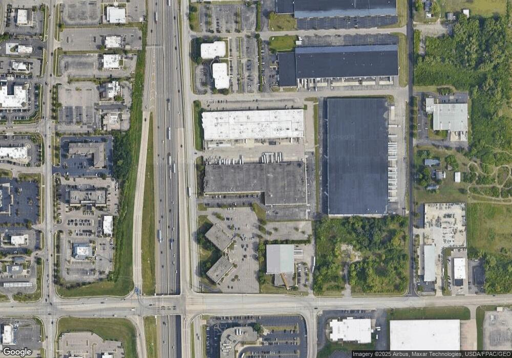
Map
Nearby Homes
- 3320 Benchwood Rd
- 3291 Benchwood Rd
- 3280 Benchwood Rd
- 6114 Miller Ln
- 6020 Volkman Dr
- 679 Deerhurst Dr
- 6494 Shore Dr
- 715 Deerhurst Dr
- 710 Deerhurst Dr
- 2100 Harding Ave
- 6512 Shore Dr
- 678 Deerhurst Dr
- Fairfax Plan at Foxfire - Maple Street Collection
- Yosemite Plan at Foxfire - Maple Street Collection
- Cumberland Plan at Foxfire - Maple Street Collection
- Jensen Plan at Foxfire - Maple Street Collection
- Beacon Plan at Foxfire - Maple Street Collection
- Wesley Plan at Foxfire - Maple Street Collection
- Breckenridge Plan at Foxfire - Maple Street Collection
- Danville Plan at Foxfire - Maple Street Collection
- 6520 Poe Ave
- 3575 Wyse Rd
- 3920 Space Dr
- 6640 Poe Ave
- 6661 Homestretch Rd
- 3908 Image Dr
- 6688 Miller Ln
- 6450 Poe Ave
- 6690 Homestretch Rd
- 0 Homestretch Rd
- 0 Homestretch Rd Unit 578611
- 6435 Shady Knoll Dr
- 6790 Homestretch Rd
- 6425 Shady Knoll Dr
- 6420 Miller Ln
- 6819 Homestretch Rd
- 6501 Miller Ln
- 6410 Miller Ln
- 6800 Homestretch Rd
- 6415 Shady Knoll Dr