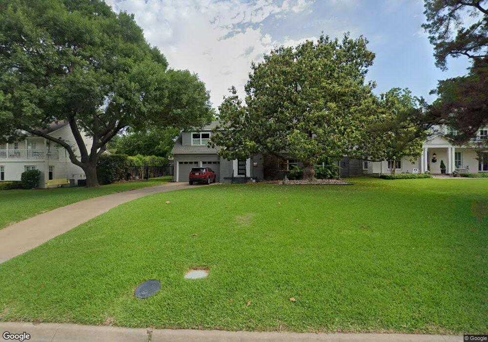
6531 Bob o Link Dr Dallas, TX 75214
Lakewood NeighborhoodEstimated Value: $1,081,000 - $1,328,985
3
Beds
3
Baths
2,260
Sq Ft
$535/Sq Ft
Est. Value
About This Home
This home is located at 6531 Bob o Link Dr, Dallas, TX 75214 and is currently estimated at $1,209,746, approximately $535 per square foot. 6531 Bob o Link Dr is a home located in Dallas County with nearby schools including Lakewood Elementary School, J L Long Middle School, and Woodrow Wilson High School.
Ownership History
Date
Name
Owned For
Owner Type
Purchase Details
Closed on
Dec 8, 2009
Sold by
Conine Michele
Bought by
Conine Jim and Conine Michele
Current Estimated Value
Purchase Details
Closed on
Jun 2, 2006
Sold by
Hale Harlin Dewayne and Hale Claire King
Bought by
Conine Michele
Home Financials for this Owner
Home Financials are based on the most recent Mortgage that was taken out on this home.
Original Mortgage
$69,000
Interest Rate
6.58%
Mortgage Type
Stand Alone Second
Create a Home Valuation Report for This Property
The Home Valuation Report is an in-depth analysis detailing your home's value as well as a comparison with similar homes in the area
Home Values in the Area
Average Home Value in this Area
Purchase History
| Date | Buyer | Sale Price | Title Company |
|---|---|---|---|
| Conine Jim | -- | None Available | |
| Conine Michele | -- | None Available |
Source: Public Records
Mortgage History
| Date | Status | Borrower | Loan Amount |
|---|---|---|---|
| Closed | Conine Michele | $69,000 | |
| Open | Conine Michele | $417,000 |
Source: Public Records
Tax History Compared to Growth
Tax History
| Year | Tax Paid | Tax Assessment Tax Assessment Total Assessment is a certain percentage of the fair market value that is determined by local assessors to be the total taxable value of land and additions on the property. | Land | Improvement |
|---|---|---|---|---|
| 2025 | $15,760 | $1,253,800 | $958,020 | $295,780 |
| 2024 | $15,760 | $1,314,210 | $958,020 | $356,190 |
| 2023 | $15,760 | $1,021,100 | $697,990 | $323,110 |
| 2022 | $18,343 | $733,620 | $656,930 | $76,690 |
| 2021 | $20,320 | $770,270 | $697,990 | $72,280 |
| 2020 | $20,896 | $770,270 | $697,990 | $72,280 |
| 2019 | $21,916 | $770,270 | $697,990 | $72,280 |
| 2018 | $18,158 | $667,750 | $574,810 | $92,940 |
| 2017 | $17,403 | $640,000 | $574,810 | $65,190 |
| 2016 | $17,828 | $655,600 | $574,810 | $80,790 |
| 2015 | $11,514 | $589,890 | $492,700 | $97,190 |
| 2014 | $11,514 | $504,030 | $342,150 | $161,880 |
Source: Public Records
Map
Nearby Homes
- 6439 Malcolm Dr
- 6443 Kenwood Ave
- 6604 Northridge Dr
- 6458 Anita St
- 6417 Malcolm Dr
- 6434 Mccommas Blvd
- 6402 Kenwood Ave
- 6728 Winton St
- 6359 Malcolm Dr
- 6517 Blue Valley Ln
- 4010 Sperry St
- 6342 Anita St
- 3435 Wendover Rd
- 6814 Southridge Dr
- 6915 Kenwood Ave
- 6925 Kenwood Ave
- 6743 Sondra Dr
- 6905 Northridge Dr
- 6270 Anita St
- 6526 Vanderbilt Ave
- 6521 Bob o Link Dr
- 6535 Bob o Link Dr
- 6534 Kenwood Ave
- 6528 Kenwood Ave
- 6517 Bob o Link Dr
- 6543 Bob o Link Dr
- 6520 Kenwood Ave
- 6511 Bob o Link Dr
- 6524 Bob o Link Dr
- 6546 Kenwood Ave
- 6516 Kenwood Ave
- 6549 Bob o Link Dr
- 6530 Bob o Link Dr
- 6516 Bob o Link Dr
- 6507 Bob o Link Dr
- 6538 Bob o Link Dr
- 6554 Kenwood Ave
- 6508 Kenwood Ave
- 6542 Bob o Link Dr
- 6510 Bob o Link Dr