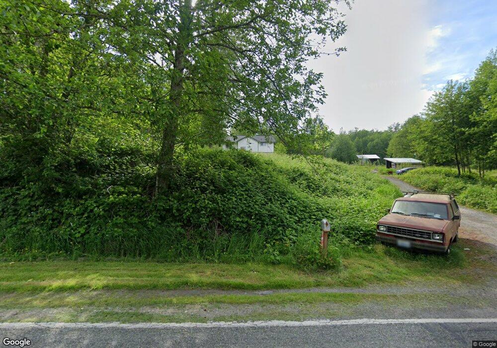
6531 Malloy Rd Ferndale, WA 98248
Estimated Value: $637,000 - $691,789
3
Beds
3
Baths
1,828
Sq Ft
$358/Sq Ft
Est. Value
About This Home
This home is located at 6531 Malloy Rd, Ferndale, WA 98248 and is currently estimated at $654,947, approximately $358 per square foot. 6531 Malloy Rd is a home located in Whatcom County with nearby schools including Cascadia Elementary School, Horizon Middle School, and Ferndale High School.
Ownership History
Date
Name
Owned For
Owner Type
Purchase Details
Closed on
Mar 9, 2001
Sold by
Fullaway Donnalea and Bailey Donnalea
Bought by
Hansen Christopher P and Hansen Kimberly S
Current Estimated Value
Home Financials for this Owner
Home Financials are based on the most recent Mortgage that was taken out on this home.
Original Mortgage
$112,189
Outstanding Balance
$41,126
Interest Rate
7.11%
Mortgage Type
FHA
Estimated Equity
$613,821
Create a Home Valuation Report for This Property
The Home Valuation Report is an in-depth analysis detailing your home's value as well as a comparison with similar homes in the area
Home Values in the Area
Average Home Value in this Area
Purchase History
| Date | Buyer | Sale Price | Title Company |
|---|---|---|---|
| Hansen Christopher P | $55,140 | First American Title Insuran |
Source: Public Records
Mortgage History
| Date | Status | Borrower | Loan Amount |
|---|---|---|---|
| Open | Hansen Christopher P | $112,189 |
Source: Public Records
Tax History Compared to Growth
Tax History
| Year | Tax Paid | Tax Assessment Tax Assessment Total Assessment is a certain percentage of the fair market value that is determined by local assessors to be the total taxable value of land and additions on the property. | Land | Improvement |
|---|---|---|---|---|
| 2024 | $4,238 | $559,498 | $336,970 | $222,528 |
| 2023 | $4,238 | $591,569 | $377,600 | $213,969 |
| 2022 | $3,547 | $484,711 | $218,888 | $265,823 |
| 2021 | $3,278 | $384,688 | $173,719 | $210,969 |
| 2020 | $3,355 | $326,006 | $147,219 | $178,787 |
| 2019 | $2,667 | $301,854 | $136,312 | $165,542 |
| 2018 | $3,140 | $274,954 | $124,165 | $150,789 |
| 2017 | $2,742 | $247,706 | $111,860 | $135,846 |
| 2016 | $2,745 | $231,187 | $107,833 | $123,354 |
| 2015 | $2,654 | $231,187 | $107,833 | $123,354 |
| 2014 | -- | $217,438 | $101,420 | $116,018 |
| 2013 | -- | $212,820 | $99,266 | $113,554 |
Source: Public Records
Map
Nearby Homes
- 0 Aldergrove Rd Unit NWM2355925
- 1942 Trigg Rd Unit 26
- 1942 Trigg Rd Unit 38
- 6470 Trigg Woods Ln
- 1957 Baltic Way Unit 110
- 1957 Baltic Way Unit E108
- 1957 Baltic Way Unit 111
- 1929 Baltic Way Unit C110
- 6600 Portal Way
- 1862 Destiny St
- 2091 Calico Loop
- 2058 Andre Ct
- 2122 Riverstone Loop
- 2129 Lancaster Way
- 6225 N Beulah Ave
- 0 xxx Brown Rd
- 6216 Fernridge Ct
- 6218 N Beulah Ave
- 6350 Portal Way Unit 83
- 6350 Portal Way Unit 64
- 6555 Malloy Rd
- 6503 Malloy Rd
- 6557 Malloy Rd
- 0 Malloy Ave
- 2184 Aldergrove Rd
- 6583 Malloy Rd
- 6485 Malloy Rd
- 6457 Malloy Rd Unit C
- 6612 Malloy Rd
- 31814 Aldergrove Rd
- 6443 Malloy Rd
- 2045 Aldergrove Rd
- 2197 Aldergrove Rd
- 6455 W 20th Ave
- 6465 W 20th Ave
- 2222 Aldergrove Rd
- 2248 Aldergrove Rd
- 6641 Malloy Rd
- 0 65xx Aldergrove
- 0 34xx Aldergrove