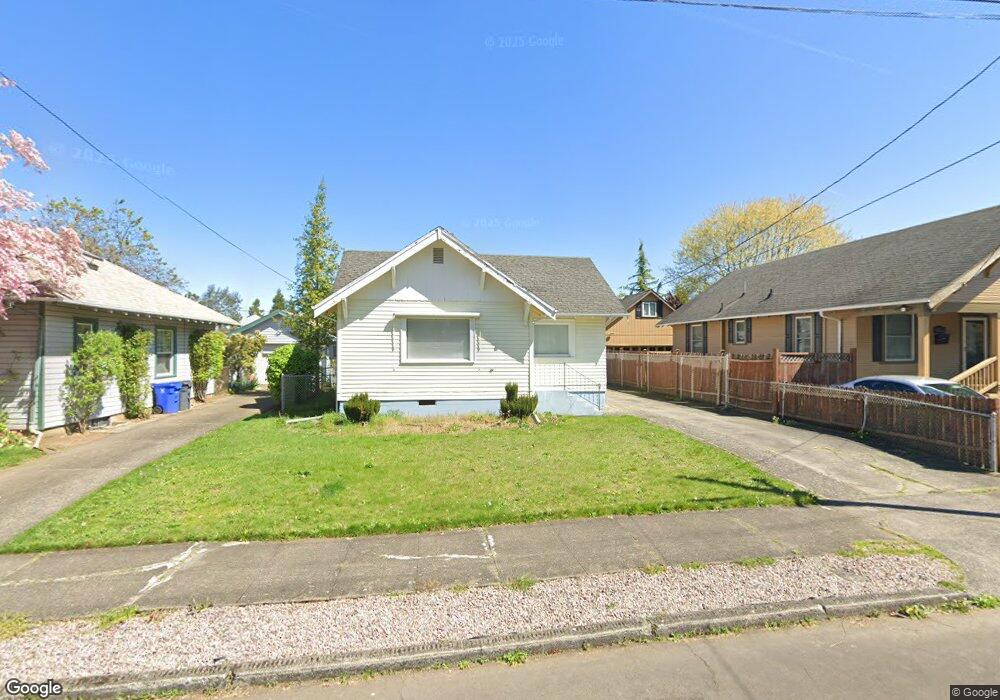
6532 N Villard Ave Portland, OR 97217
Arbor Lodge NeighborhoodEstimated Value: $406,000 - $543,000
2
Beds
1
Bath
1,240
Sq Ft
$390/Sq Ft
Est. Value
About This Home
This home is located at 6532 N Villard Ave, Portland, OR 97217 and is currently estimated at $484,035, approximately $390 per square foot. 6532 N Villard Ave is a home located in Multnomah County with nearby schools including Chief Joseph Elementary School, Ockley Green, and Jefferson High School.
Ownership History
Date
Name
Owned For
Owner Type
Purchase Details
Closed on
Jan 14, 1999
Sold by
Fredrickson Floyd Robert and Fredrickson Robert Eugene
Bought by
Orak Jacob and Orak Caroline
Current Estimated Value
Home Financials for this Owner
Home Financials are based on the most recent Mortgage that was taken out on this home.
Original Mortgage
$116,922
Outstanding Balance
$26,816
Interest Rate
6.63%
Mortgage Type
FHA
Estimated Equity
$457,219
Create a Home Valuation Report for This Property
The Home Valuation Report is an in-depth analysis detailing your home's value as well as a comparison with similar homes in the area
Home Values in the Area
Average Home Value in this Area
Purchase History
| Date | Buyer | Sale Price | Title Company |
|---|---|---|---|
| Orak Jacob | $117,900 | First American Title Ins Co |
Source: Public Records
Mortgage History
| Date | Status | Borrower | Loan Amount |
|---|---|---|---|
| Open | Orak Jacob | $116,922 |
Source: Public Records
Tax History Compared to Growth
Tax History
| Year | Tax Paid | Tax Assessment Tax Assessment Total Assessment is a certain percentage of the fair market value that is determined by local assessors to be the total taxable value of land and additions on the property. | Land | Improvement |
|---|---|---|---|---|
| 2024 | $3,477 | $129,950 | -- | -- |
| 2023 | $3,343 | $126,170 | $0 | $0 |
| 2022 | $3,271 | $122,500 | $0 | $0 |
| 2021 | $3,216 | $118,940 | $0 | $0 |
| 2020 | $2,950 | $115,480 | $0 | $0 |
| 2019 | $2,842 | $112,120 | $0 | $0 |
| 2018 | $2,758 | $108,860 | $0 | $0 |
| 2017 | $2,644 | $105,690 | $0 | $0 |
| 2016 | $2,420 | $102,620 | $0 | $0 |
| 2015 | $2,356 | $99,640 | $0 | $0 |
| 2014 | $2,321 | $96,740 | $0 | $0 |
Source: Public Records
Map
Nearby Homes
- 3107 N Rosa Parks Way
- 6738 N Oatman Ave
- 6925 N Atlantic Ave
- 6227 N Wilbur Ave
- 6555 N Boston Ave
- 3129 N Willamette Blvd Unit 207
- 5819 N Greeley Ave
- 5816 N Greeley Ave
- 2419 N Ainsworth St
- 6970 N Wabash Ave
- 6404 N Omaha Ave
- 2200 N Dekum St
- 5704 N Greeley Ave
- 7228 N Villard Ave
- 2104 N Rosa Parks Way
- 7216 N Wilbur Ave
- 7332 N Villard Ave
- 6541 N Denver Ave
- 7327 N Oatman Ave
- 5545 N Wilbur Ave
- 6606 N Villard Ave
- 6522 N Villard Ave
- 6533 N Atlantic Ave
- 6533 N Atlantic Ave Unit A&B
- 6616 N Villard Ave
- 6521 N Atlantic Ave
- 2925 N Rosa Parks Way
- 2931 N Rosa Parks Way
- 2915 N Rosa Parks Way
- 6615 N Atlantic Ave
- 6624 N Villard Ave
- 3005 N Rosa Parks Way
- 2905 N Rosa Parks Way
- 6605 N Villard Ave
- 6522 N Curtis Ave
- 6534 N Curtis Ave
- 6625 N Atlantic Ave
- 3011 N Rosa Parks Way
- 6644 N Villard Ave
- 6614 N Curtis Ave