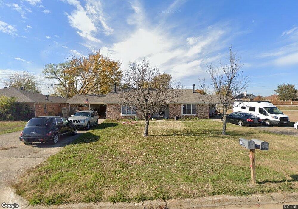
6533 Amundson Rd North Richland Hills, TX 76182
Estimated Value: $398,008 - $455,000
4
Beds
4
Baths
2,388
Sq Ft
$174/Sq Ft
Est. Value
About This Home
This home is located at 6533 Amundson Rd, North Richland Hills, TX 76182 and is currently estimated at $414,502, approximately $173 per square foot. 6533 Amundson Rd is a home located in Tarrant County with nearby schools including Walker Creek Elementary School, Smithfield Middle School, and Birdville High School.
Ownership History
Date
Name
Owned For
Owner Type
Purchase Details
Closed on
Dec 23, 2003
Sold by
Neal Christopher and Neal Stephanie
Bought by
The Oklatx Lp
Current Estimated Value
Purchase Details
Closed on
Jul 17, 1996
Sold by
Stevens John M and Stevens Sarah J
Bought by
Neal Christopher A
Home Financials for this Owner
Home Financials are based on the most recent Mortgage that was taken out on this home.
Original Mortgage
$74,700
Interest Rate
8.33%
Mortgage Type
Purchase Money Mortgage
Create a Home Valuation Report for This Property
The Home Valuation Report is an in-depth analysis detailing your home's value as well as a comparison with similar homes in the area
Home Values in the Area
Average Home Value in this Area
Purchase History
| Date | Buyer | Sale Price | Title Company |
|---|---|---|---|
| The Oklatx Lp | -- | -- | |
| Neal Christopher A | -- | American Title Company |
Source: Public Records
Mortgage History
| Date | Status | Borrower | Loan Amount |
|---|---|---|---|
| Previous Owner | Neal Christopher A | $74,700 |
Source: Public Records
Tax History Compared to Growth
Tax History
| Year | Tax Paid | Tax Assessment Tax Assessment Total Assessment is a certain percentage of the fair market value that is determined by local assessors to be the total taxable value of land and additions on the property. | Land | Improvement |
|---|---|---|---|---|
| 2025 | $7,581 | $231,795 | $32,000 | $199,795 |
| 2024 | $7,581 | $279,440 | $32,000 | $247,440 |
| 2023 | $7,581 | $345,565 | $32,000 | $313,565 |
| 2022 | $6,379 | $265,088 | $32,000 | $233,088 |
| 2021 | $4,300 | $169,000 | $32,000 | $137,000 |
| 2020 | $4,300 | $169,000 | $32,000 | $137,000 |
| 2019 | $4,450 | $169,000 | $32,000 | $137,000 |
| 2018 | $4,412 | $167,550 | $13,600 | $153,950 |
| 2017 | $4,542 | $168,813 | $13,600 | $155,213 |
| 2016 | $3,738 | $138,919 | $13,600 | $125,319 |
| 2015 | $2,850 | $106,100 | $13,600 | $92,500 |
| 2014 | $2,850 | $106,100 | $13,600 | $92,500 |
Source: Public Records
Map
Nearby Homes
- 8409 Glenann Dr
- 8421 Randy Dr
- 8412 Glenann Dr
- 8409 Main St
- 8420 Town Walk Dr
- 8436 Town Walk Dr
- 6921 Westover Way
- 8220 Odell St
- 8440 Stephanie Dr
- 8412 Timberline Ct
- 6509 Paula Ct
- 8020 Cross Dr
- 6971 Cox Ln
- 6432 Brynwyck Ln
- 0 Mid Cities Blvd
- 6625 Crane Rd
- 7036 Crabtree Ln
- 8740 Ice House Dr
- 6137 Marquita Mews
- 8920 Martin Dr
- 6531 Amundson Rd Unit Right
- 6531 Amundson Rd
- 6529 Amundson Rd
- 6529 Amundson Rd Unit Right
- 8400 Donna Dr
- 8401 Randy Dr
- 6525 Amundson Rd
- 8409 Randy Dr
- 8404 Donna Dr
- 8300 Crystal Ln
- 8304 Crystal Ln
- 8413 Randy Dr
- 8400 Randy Dr
- 8404 Randy Dr
- 8401 Donna Dr
- 8308 Crystal Ln
- 8408 Donna Dr
- 8408 Randy Dr
- 8417 Randy Dr
- 8312 Crystal Ln