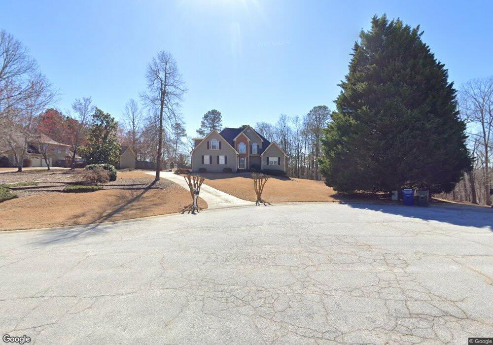
6534 High Point Ridge Unit 2 Loganville, GA 30052
Estimated Value: $387,000 - $405,000
--
Bed
1
Bath
2,224
Sq Ft
$178/Sq Ft
Est. Value
About This Home
This home is located at 6534 High Point Ridge Unit 2, Loganville, GA 30052 and is currently estimated at $395,009, approximately $177 per square foot. 6534 High Point Ridge Unit 2 is a home located in Walton County with nearby schools including Loganville Elementary School, Loganville Middle School, and Loganville High School.
Ownership History
Date
Name
Owned For
Owner Type
Purchase Details
Closed on
Jan 25, 2001
Sold by
Mcdaniel Lamar D
Bought by
Mcdaniel Dreana L
Current Estimated Value
Purchase Details
Closed on
Jun 19, 1998
Sold by
Stubbs Thomas Kenneth
Bought by
Mcdaniel Lamar D and Mcdaniel Dreana
Home Financials for this Owner
Home Financials are based on the most recent Mortgage that was taken out on this home.
Original Mortgage
$83,000
Interest Rate
7.1%
Mortgage Type
New Conventional
Create a Home Valuation Report for This Property
The Home Valuation Report is an in-depth analysis detailing your home's value as well as a comparison with similar homes in the area
Home Values in the Area
Average Home Value in this Area
Purchase History
| Date | Buyer | Sale Price | Title Company |
|---|---|---|---|
| Mcdaniel Dreana L | -- | -- | |
| Mcdaniel Lamar D | $157,800 | -- |
Source: Public Records
Mortgage History
| Date | Status | Borrower | Loan Amount |
|---|---|---|---|
| Previous Owner | Mcdaniel Lamar D | $83,000 |
Source: Public Records
Tax History Compared to Growth
Tax History
| Year | Tax Paid | Tax Assessment Tax Assessment Total Assessment is a certain percentage of the fair market value that is determined by local assessors to be the total taxable value of land and additions on the property. | Land | Improvement |
|---|---|---|---|---|
| 2024 | $904 | $145,480 | $22,000 | $123,480 |
| 2023 | $886 | $142,000 | $22,000 | $120,000 |
| 2022 | $853 | $125,960 | $19,200 | $106,760 |
| 2021 | $853 | $107,440 | $17,200 | $90,240 |
| 2020 | $870 | $96,800 | $13,200 | $83,600 |
| 2019 | $876 | $90,720 | $13,200 | $77,520 |
| 2018 | $876 | $90,720 | $13,200 | $77,520 |
| 2017 | $2,856 | $82,880 | $12,800 | $70,080 |
| 2016 | $850 | $73,800 | $10,400 | $63,400 |
| 2015 | $717 | $60,240 | $9,600 | $50,640 |
| 2014 | $679 | $55,200 | $0 | $0 |
Source: Public Records
Map
Nearby Homes
- 2665 High Point Ct
- 3834 Hawk Tail Dr
- 5363 Forest Dr
- 5474 Forest Dr Unit 4
- 2681 Round Ridge Rd
- 4103 Potomac Walk Ct
- 5497 Highway 81
- 5457 Highway 81
- 932 Creek Bottom Rd Unit 1
- 903 Creek Bottom Rd
- 3847 Cove Top Ct
- 4569 Tiffany Ln
- 4539 Tiffany Ln
- 4885 Watson Mill Ct
- 3345 Spring Place Ct
- 5357 Highway 81
- 905 Shannon Rd SW
- 6544 High Point Ridge Unit 3
- 6524 High Point Ridge
- 6514 High Point Ridge
- 6525 High Point Ridge
- 6543 High Point Ridge Unit 3
- 6545 High Point Ridge
- 6535 High Point Ridge
- 6515 High Point Ridge
- 4120 Lake Dr
- 2897 Forest Ct
- 6494 High Point Ridge
- 2907 Forest Ct Unit 4
- 4130 Lake Dr
- 0 Lake Dr
- 2927 Forest Ct Unit 1
- 2887 Forest Ct
- 2664 High Point Ct
- 0 Forest Ct Unit 8373583
- 0 Forest Ct Unit 7227995
- 0 Forest Ct Unit 8783128