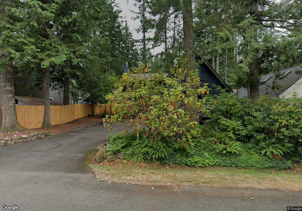
65344 E Alpine Way Rhododendron, OR 97049
Estimated Value: $616,000 - $704,000
4
Beds
3
Baths
2,466
Sq Ft
$262/Sq Ft
Est. Value
About This Home
This home is located at 65344 E Alpine Way, Rhododendron, OR 97049 and is currently estimated at $646,909, approximately $262 per square foot. 65344 E Alpine Way is a home located in Clackamas County with nearby schools including Welches Elementary School, Welches Middle School, and Sandy High School.
Ownership History
Date
Name
Owned For
Owner Type
Purchase Details
Closed on
Oct 31, 2016
Sold by
Wilson Todd M
Bought by
Ferris Kasey J
Current Estimated Value
Home Financials for this Owner
Home Financials are based on the most recent Mortgage that was taken out on this home.
Original Mortgage
$236,000
Interest Rate
3.54%
Mortgage Type
New Conventional
Purchase Details
Closed on
Jan 17, 2013
Sold by
Wilson Kari
Bought by
Wilson Todd M
Home Financials for this Owner
Home Financials are based on the most recent Mortgage that was taken out on this home.
Original Mortgage
$193,900
Interest Rate
3.28%
Mortgage Type
New Conventional
Purchase Details
Closed on
Mar 27, 2008
Sold by
Deutsche Bank Trust Co Americas
Bought by
Wilson Todd M and Wilson Kari
Home Financials for this Owner
Home Financials are based on the most recent Mortgage that was taken out on this home.
Original Mortgage
$202,500
Interest Rate
5.72%
Mortgage Type
Purchase Money Mortgage
Purchase Details
Closed on
Jun 22, 2006
Sold by
Hamel Dean Michael
Bought by
Sanders Samuel
Home Financials for this Owner
Home Financials are based on the most recent Mortgage that was taken out on this home.
Original Mortgage
$47,600
Interest Rate
6.15%
Mortgage Type
Stand Alone Second
Purchase Details
Closed on
Feb 4, 2002
Sold by
Keybank National Assn
Bought by
Hamel Dean Michael
Home Financials for this Owner
Home Financials are based on the most recent Mortgage that was taken out on this home.
Original Mortgage
$136,010
Interest Rate
7.15%
Mortgage Type
FHA
Purchase Details
Closed on
Apr 20, 2001
Sold by
Stone William C and Stone Karen M
Bought by
Keybank National Assn
Purchase Details
Closed on
Aug 8, 1995
Sold by
Hopkins Randolph R and Hopkins Susan M
Bought by
Stone William C and Stone Karen M
Home Financials for this Owner
Home Financials are based on the most recent Mortgage that was taken out on this home.
Original Mortgage
$133,650
Interest Rate
7.63%
Create a Home Valuation Report for This Property
The Home Valuation Report is an in-depth analysis detailing your home's value as well as a comparison with similar homes in the area
Purchase History
| Date | Buyer | Sale Price | Title Company |
|---|---|---|---|
| Ferris Kasey J | $323,000 | First American | |
| Wilson Todd M | -- | Lsi Title Company | |
| Wilson Todd M | $225,000 | First American Title Insuran | |
| Sanders Samuel | $238,000 | Lawyers Title Ins | |
| Hamel Dean Michael | $165,000 | First American Title Ins Co | |
| Keybank National Assn | $24,000 | Oregon Title Insurance Co | |
| Stone William C | $157,250 | First American Title Ins Co |
Source: Public Records
Mortgage History
| Date | Status | Borrower | Loan Amount |
|---|---|---|---|
| Previous Owner | Ferris Kasey J | $236,000 | |
| Previous Owner | Wilson Todd M | $193,900 | |
| Previous Owner | Wilson Todd M | $202,500 | |
| Previous Owner | Sanders Samuel | $47,600 | |
| Previous Owner | Sanders Samuel | $190,400 | |
| Previous Owner | Hamel Dean Michael | $136,010 | |
| Previous Owner | Stone William C | $133,650 |
Source: Public Records
Tax History
| Year | Tax Paid | Tax Assessment Tax Assessment Total Assessment is a certain percentage of the fair market value that is determined by local assessors to be the total taxable value of land and additions on the property. | Land | Improvement |
|---|---|---|---|---|
| 2025 | $5,206 | $330,438 | -- | -- |
| 2024 | $4,522 | $320,814 | -- | -- |
| 2023 | $4,522 | $311,470 | $0 | $0 |
| 2022 | $4,288 | $302,399 | $0 | $0 |
| 2021 | $4,135 | $293,592 | $0 | $0 |
| 2020 | $4,025 | $285,041 | $0 | $0 |
| 2019 | $4,003 | $276,739 | $0 | $0 |
| 2018 | $3,824 | $268,679 | $0 | $0 |
| 2017 | $3,736 | $260,853 | $0 | $0 |
| 2016 | $3,589 | $253,255 | $0 | $0 |
Source: Public Records
Map
Nearby Homes
- 21760 E Tree Swallow Ln
- 65121 E Lupine Dr
- 64711 E Sandy River Ln
- 64281 E Brightwood Loop Rd
- 65000 E Highway 26 Unit FC291
- 65000 E Highway 26 Unit WFB8
- 65000 E Highway 26 Unit WFB50
- 65000 E Highway 26 Unit 32
- 65000 E Highway 26 Unit WFB 2
- 65000 U S 26 Unit FC288
- 64250 Mc Intyre Rd
- 23307 E Wildwood Ave
- 63875 E Barlow Trail Rd
- 63645 E Barlow Trail Rd
- 66735 E Oregon St
- 63205 Brightwood Bridge Rd
- 62955 E Mountain Country Ln
- 62778 E Barlow Trail Rd
- 21191 E Country Club Rd
- 62194 E Salmon St
- 65316 E Alpine Way
- 21761 E Tree Swallow Ln
- 65311 E Sandy River Ln
- 21777 E Tree Swallow Ln
- 21787 E Tree Swallow Ln
- 65280 E Alpine Way
- 65323 E Alpine Way
- 65377 E Alpine Way
- 65305 E Alpine Way
- 65395 E Alpine Way
- 65245 E Alpine Way
- 65366 E Timberline Dr
- 21782 E Tree Swallow Ln
- 65382 E Timberline Dr E
- 65425 E Alpine Way
- 65366 E Timberline Dr E
- 65414 E Timberline Dr E
- 65292 E Sandy River Ln
- 65344 E Timberline Dr E
- 65440 E Alpine Way
Your Personal Tour Guide
Ask me questions while you tour the home.