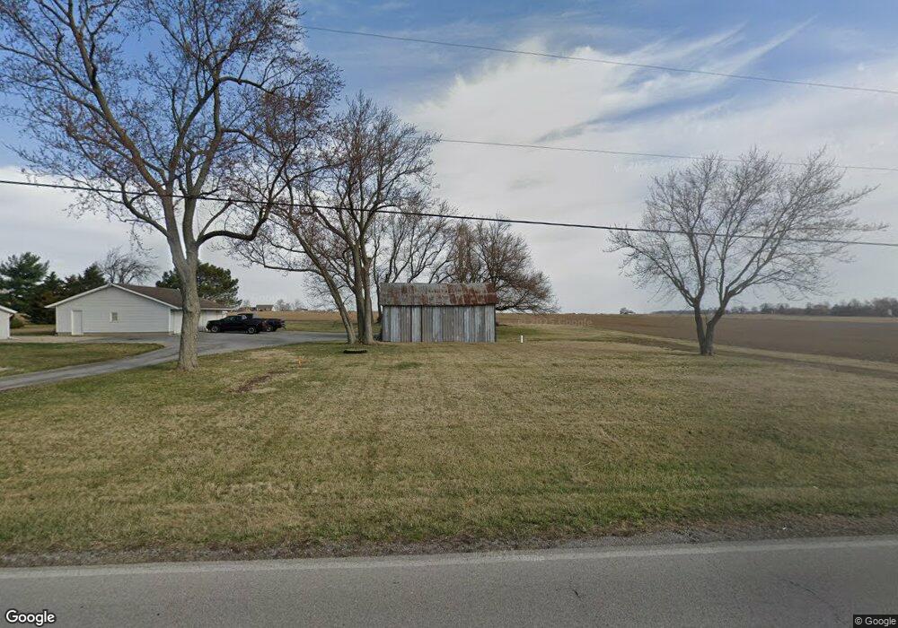
6535 E Lincoln Hwy Columbus Grove, OH 45830
Estimated Value: $67,349 - $212,000
--
Bed
--
Bath
--
Sq Ft
0.66
Acres
About This Home
This home is located at 6535 E Lincoln Hwy, Columbus Grove, OH 45830 and is currently estimated at $125,587. 6535 E Lincoln Hwy is a home with nearby schools including Bluffton Elementary School, Bluffton Middle School, and Bluffton High School.
Ownership History
Date
Name
Owned For
Owner Type
Purchase Details
Closed on
Sep 21, 2017
Sold by
Dyke William A Van and Dyke Mamie E Van
Bought by
Long Richard Franklin
Current Estimated Value
Home Financials for this Owner
Home Financials are based on the most recent Mortgage that was taken out on this home.
Original Mortgage
$114,000
Outstanding Balance
$95,173
Interest Rate
3.89%
Mortgage Type
New Conventional
Estimated Equity
$30,414
Purchase Details
Closed on
Jan 14, 2008
Sold by
Burkholder Sherrill and Burkholder Bernadine
Bought by
Burkholder Kent and Burkholder Kimberly
Purchase Details
Closed on
Sep 14, 1995
Sold by
Eversole Kenneth
Bought by
Dyke William and Vandyke Mamie Van
Home Financials for this Owner
Home Financials are based on the most recent Mortgage that was taken out on this home.
Original Mortgage
$40,000
Interest Rate
7.81%
Mortgage Type
New Conventional
Create a Home Valuation Report for This Property
The Home Valuation Report is an in-depth analysis detailing your home's value as well as a comparison with similar homes in the area
Home Values in the Area
Average Home Value in this Area
Purchase History
| Date | Buyer | Sale Price | Title Company |
|---|---|---|---|
| Long Richard Franklin | $120,000 | None Available | |
| Burkholder Kent | -- | Attorney | |
| Dyke William | $50,000 | -- |
Source: Public Records
Mortgage History
| Date | Status | Borrower | Loan Amount |
|---|---|---|---|
| Open | Long Richard Franklin | $114,000 | |
| Previous Owner | Dyke William | $40,000 |
Source: Public Records
Tax History Compared to Growth
Tax History
| Year | Tax Paid | Tax Assessment Tax Assessment Total Assessment is a certain percentage of the fair market value that is determined by local assessors to be the total taxable value of land and additions on the property. | Land | Improvement |
|---|---|---|---|---|
| 2024 | $217 | $5,820 | $5,290 | $530 |
| 2023 | $236 | $5,530 | $5,040 | $490 |
| 2022 | $213 | $5,530 | $5,040 | $490 |
| 2021 | $220 | $5,530 | $5,040 | $490 |
| 2020 | $221 | $5,010 | $4,030 | $980 |
| 2019 | $221 | $5,010 | $4,030 | $980 |
| 2018 | $232 | $5,260 | $4,030 | $1,230 |
Source: Public Records
Map
Nearby Homes
- 207 W Prospect St
- 6601 N Napoleon Rd
- 108 E Main St
- 5025 N Cool Rd
- 6476 Mickelson Ln
- 000 Napoleon Rd
- 4700 Herr Rd
- 4619 N Thayer Rd
- 00000 Ohio 696
- 000 Ohio 696
- 0000 Ohio 696
- 7957 Hillville Rd
- 8305 Hillville Rd
- 0 Lincoln Hwy
- 000 Lincoln Hwy
- 9290 Lincoln Hwy
- 0 N Dixie Hwy Unit 308796
- 0 N Dixie Hwy Unit 300253
- 108 Highland Lakes Dr
- 8900 N Dixie Hwy