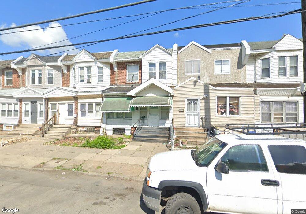
6535 Paschall Ave Philadelphia, PA 19142
Paschall NeighborhoodEstimated Value: $64,000 - $128,952
3
Beds
1
Bath
1,044
Sq Ft
$93/Sq Ft
Est. Value
About This Home
This home is located at 6535 Paschall Ave, Philadelphia, PA 19142 and is currently estimated at $97,238, approximately $93 per square foot. 6535 Paschall Ave is a home located in Philadelphia County with nearby schools including Tilden Middle School, Thomas G. Morton School, and John Bartram High School.
Ownership History
Date
Name
Owned For
Owner Type
Purchase Details
Closed on
Jan 31, 2008
Sold by
Mckay Eileen and Estate Of Marion Mckay
Bought by
Bah Thierno A
Current Estimated Value
Home Financials for this Owner
Home Financials are based on the most recent Mortgage that was taken out on this home.
Original Mortgage
$45,600
Outstanding Balance
$28,018
Interest Rate
5.57%
Mortgage Type
Purchase Money Mortgage
Estimated Equity
$69,220
Create a Home Valuation Report for This Property
The Home Valuation Report is an in-depth analysis detailing your home's value as well as a comparison with similar homes in the area
Home Values in the Area
Average Home Value in this Area
Purchase History
| Date | Buyer | Sale Price | Title Company |
|---|---|---|---|
| Bah Thierno A | $48,000 | None Available |
Source: Public Records
Mortgage History
| Date | Status | Borrower | Loan Amount |
|---|---|---|---|
| Open | Bah Thierno A | $45,600 |
Source: Public Records
Tax History Compared to Growth
Tax History
| Year | Tax Paid | Tax Assessment Tax Assessment Total Assessment is a certain percentage of the fair market value that is determined by local assessors to be the total taxable value of land and additions on the property. | Land | Improvement |
|---|---|---|---|---|
| 2025 | $1,076 | $95,000 | $19,000 | $76,000 |
| 2024 | $1,076 | $95,000 | $19,000 | $76,000 |
| 2023 | $1,076 | $76,900 | $15,300 | $61,600 |
| 2022 | $910 | $76,900 | $15,300 | $61,600 |
| 2021 | $910 | $0 | $0 | $0 |
| 2020 | $910 | $0 | $0 | $0 |
| 2019 | $840 | $0 | $0 | $0 |
| 2018 | $803 | $0 | $0 | $0 |
| 2017 | $803 | $0 | $0 | $0 |
| 2016 | $803 | $0 | $0 | $0 |
| 2015 | $769 | $0 | $0 | $0 |
| 2014 | -- | $57,400 | $4,158 | $53,242 |
| 2012 | -- | $8,416 | $1,749 | $6,667 |
Source: Public Records
Map
Nearby Homes
- 6514 Saybrook Ave
- 2223 S Shields St
- 6532 Glenmore Ave
- 6624 Woodland Ave
- 2138 S Gould St
- 6420 Saybrook Ave
- 2136 S 65th St
- 2128 S Shields St
- 6708 Linmore Ave
- 2109 S 66th St
- 2118 S Shields St
- 2220 Bonaffon St
- 6639 Yocum St
- 2211 S Hobson St
- 6517 Greenway Ave
- 6543 Greenway Ave
- 2113 S Simpson St
- 6746 Linmore Ave
- 2032 S 66th St
- 2413 S 64th St
- 6533 Paschall Ave
- 6539 Paschall Ave
- 6531 Paschall Ave
- 6529 Paschall Ave
- 6541 Paschall Ave
- 6534 Gesner St
- 6536 Gesner St
- 6532 Gesner St
- 6538 Gesner St
- 6530 Gesner St
- 6527 Paschall Ave
- 6543 Paschall Ave
- 6528 Gesner St
- 6540 Gesner St
- 6525 Paschall Ave
- 6526 Gesner St
- 6542 Gesner St
- 6524 Gesner St
- 6523 Paschall Ave
- 6522 Gesner St