Estimated Value: $177,000 - $199,735
Studio
1
Bath
2,128
Sq Ft
$88/Sq Ft
Est. Value
About This Home
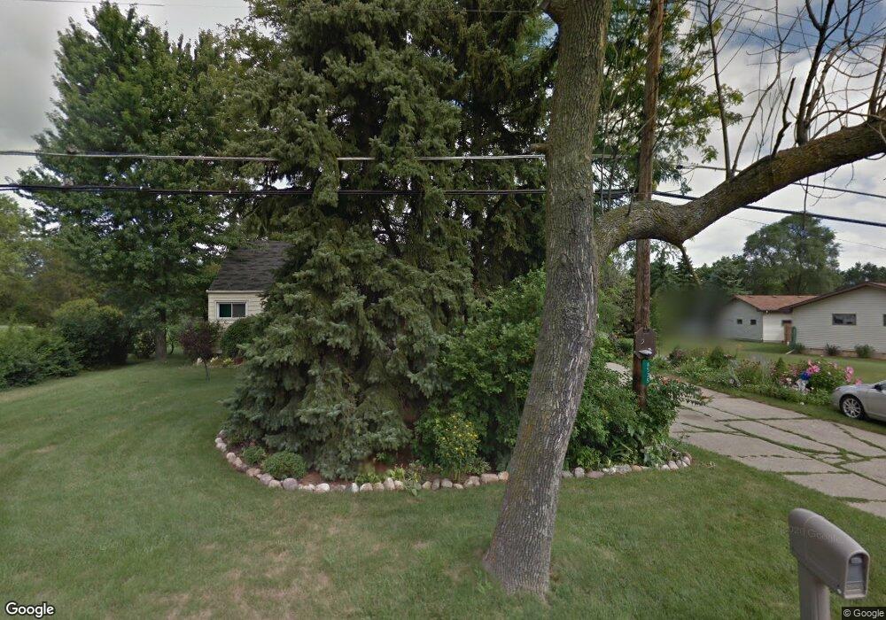
This home is located at 6535 Richfield Rd, Flint, MI 48506 and is currently estimated at $187,684, approximately $88 per square foot. 6535 Richfield Rd is a home located in Genesee County with nearby schools including Weston Elementary School, Leota Fiedler Elementary School, and Kate Dowdall Elementary School.
Ownership History
Date
Name
Owned For
Owner Type
Purchase Details
Closed on
Oct 29, 2021
Sold by
Longhouse Louis Harry and Long Dorothy
Bought by
Clark Janeen K
Current Estimated Value
Home Financials for this Owner
Home Financials are based on the most recent Mortgage that was taken out on this home.
Original Mortgage
$135,000
Outstanding Balance
$122,697
Interest Rate
3.01%
Mortgage Type
New Conventional
Estimated Equity
$64,987
Purchase Details
Closed on
Nov 16, 2000
Sold by
Longhouse Louis Harry and Longhouse Dorothy G
Bought by
Longhouse Louis Harry and Longhouse Dorothy G
Create a Home Valuation Report for This Property
The Home Valuation Report is an in-depth analysis detailing your home's value as well as a comparison with similar homes in the area
Home Values in the Area
Average Home Value in this Area
Purchase History
| Date | Buyer | Sale Price | Title Company |
|---|---|---|---|
| Clark Janeen K | $150,000 | None Listed On Document | |
| Clark Janeen K | $150,000 | None Listed On Document | |
| Longhouse Louis Harry | -- | -- |
Source: Public Records
Mortgage History
| Date | Status | Borrower | Loan Amount |
|---|---|---|---|
| Open | Clark Janeen K | $135,000 | |
| Closed | Clark Janeen K | $135,000 |
Source: Public Records
Tax History
| Year | Tax Paid | Tax Assessment Tax Assessment Total Assessment is a certain percentage of the fair market value that is determined by local assessors to be the total taxable value of land and additions on the property. | Land | Improvement |
|---|---|---|---|---|
| 2025 | $2,821 | $84,700 | $0 | $0 |
| 2024 | $804 | $77,400 | $0 | $0 |
| 2023 | $767 | $70,600 | $0 | $0 |
| 2022 | $1,526 | $63,500 | $0 | $0 |
| 2021 | $1,119 | $46,800 | $0 | $0 |
| 2020 | $321 | $42,200 | $0 | $0 |
| 2019 | $316 | $36,800 | $0 | $0 |
| 2018 | $1,060 | $35,000 | $0 | $0 |
| 2017 | $1,032 | $34,100 | $0 | $0 |
| 2016 | $1,009 | $32,300 | $0 | $0 |
| 2015 | $872 | $30,400 | $0 | $0 |
| 2014 | $291 | $25,300 | $0 | $0 |
| 2012 | -- | $25,600 | $25,600 | $0 |
Source: Public Records
Map
Nearby Homes
- 3485 N Vassar Rd
- 6443 Richfield Rd
- 6367 E Pierson Rd
- 6054 E Pierson Rd
- 3365 Eastdale Dr
- 6161 Finch Ln
- 0 Whisper Ridge Ct
- 3148 Gehring Dr
- 3179 Gehring Dr
- 3267 Mills Acres St
- 6099 Brookwood Dr
- 6158 Golfview Dr
- 8088 Oreilly Cir
- 5165 N Irish Rd
- 5177 N Irish Rd
- 1240 N Irish Rd
- 2336 N Irish Rd
- 7377 River Rock Dr
- 7445 New Hampshire Dr
- 6076 E Carpenter Rd
- 6547 Richfield Rd Unit Bldg-Unit
- 6547 Richfield Rd
- 6517 Richfield Rd
- 3509 N Vassar Rd
- 3497 N Vassar Rd
- 4475 E Richfield Rd
- 6157 E Richfield Rd
- 5041 E Richfield Rd
- 6509 Richfield Rd
- 6501 Richfield Rd
- 6474 E Pierson Rd
- 6474 E Pierson Rd
- 7017 E Richfield Rd
- 6496 E Pierson Rd
- 3490 N Vassar Rd
- 6462 E Pierson Rd
- 3519 N Vassar Rd
- 6493 Richfield Rd
- 3500 N Vassar Rd
- 7006 E Richfield Rd
Your Personal Tour Guide
Ask me questions while you tour the home.