Estimated Value: $143,000 - $214,000
3
Beds
1
Bath
864
Sq Ft
$211/Sq Ft
Est. Value
About This Home
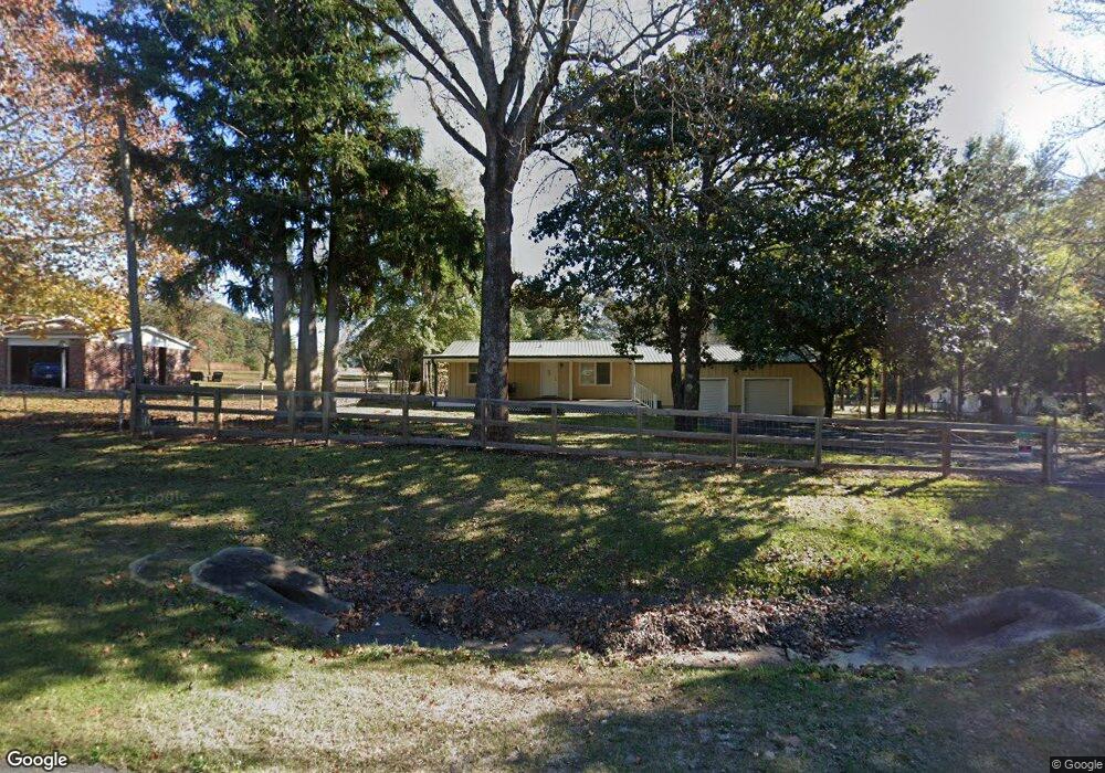
This home is located at 6539 Highway 189 N, Baker, FL 32531 and is currently estimated at $182,183, approximately $210 per square foot. 6539 Highway 189 N is a home located in Okaloosa County with nearby schools including Baker School.
Ownership History
Date
Name
Owned For
Owner Type
Purchase Details
Closed on
May 28, 2021
Sold by
Leverington Daniel L and Leverington Cheryl L
Bought by
Bernhardt Kenneth Allen and Bernhardt Rae Ann
Current Estimated Value
Purchase Details
Closed on
Jan 24, 2002
Sold by
Rainey Otis L and Rainey Shirley G
Bought by
Rainey Owen Lee
Purchase Details
Closed on
Nov 16, 2001
Sold by
Collins Evelyn Sheila T and Flowers Evelyn Sheila T
Bought by
Rainey Otis L and Rainey Shirley G
Create a Home Valuation Report for This Property
The Home Valuation Report is an in-depth analysis detailing your home's value as well as a comparison with similar homes in the area
Home Values in the Area
Average Home Value in this Area
Purchase History
| Date | Buyer | Sale Price | Title Company |
|---|---|---|---|
| Bernhardt Kenneth Allen | $127,500 | Old South Land Title Inc | |
| Rainey Owen Lee | -- | Okaloosa Title & Abstract Co | |
| Rainey Otis L | $52,000 | -- |
Source: Public Records
Tax History Compared to Growth
Tax History
| Year | Tax Paid | Tax Assessment Tax Assessment Total Assessment is a certain percentage of the fair market value that is determined by local assessors to be the total taxable value of land and additions on the property. | Land | Improvement |
|---|---|---|---|---|
| 2024 | $1,274 | $121,191 | $72,336 | $48,855 |
| 2023 | $1,274 | $121,556 | $72,336 | $49,220 |
| 2022 | $1,220 | $114,608 | $68,891 | $45,717 |
| 2021 | $1,021 | $98,025 | $62,628 | $35,397 |
| 2020 | $852 | $74,509 | $41,800 | $32,709 |
| 2019 | $837 | $72,681 | $41,800 | $30,881 |
| 2018 | $836 | $71,479 | $0 | $0 |
| 2017 | $829 | $69,676 | $0 | $0 |
| 2016 | $814 | $69,073 | $0 | $0 |
| 2015 | $829 | $68,369 | $0 | $0 |
| 2014 | $860 | $70,375 | $0 | $0 |
Source: Public Records
Map
Nearby Homes
- 1318 John Riley Barnhill Rd
- 1512 Vinson Ray Rd
- 0000 N Sherman Kennedy
- 6636 Old River Rd
- 1424 E F Sanford Rd
- 0 Homestead Rd
- 1704 Cobb Rd
- 16 acres Sherman Kennedy Rd
- 0000 Sherman Kennedy Rd
- 6043 Dairy Rd
- 6150 Sherman Kennedy Rd
- F-10 Long Branch Farm Rd
- F-9 Long Branch Farm Rd
- F-8 Long Branch Farms Rd
- 1921 Cotton Creek Rd
- 80+/- AC Old River Rd
- 6263 Old River Rd
- Parcel A Old River Rd
- 164.19 AC Old River Rd
- 43.5 +/- A Old River Rd
- 6547 Highway 189 N
- 6521 Highway 189 N
- 6563 Highway 189 N
- 6560 Highway 189 N
- 6511 Highway 189 N
- 6539 Fl-189
- 1446 Sky Ranch Dr
- 6572 Highway 189 N
- 6515 Highway 189 N
- 1450 Sky Ranch Dr
- 6592 Highway 189 N
- 6501 Highway 189 N
- 1423 Dan Barnes Rd
- 6506 Highway 189 N
- 1447 Sky Ranch Dr
- 6598 Highway 189 N
- 1441 Dan Barnes Rd
- 1437 Dan Barnes Rd
- 1425 Dan Barnes Rd
- 6496 Highway 189 N