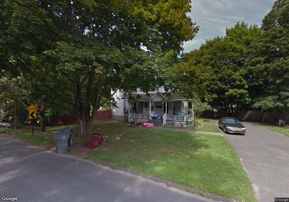
654 High St Naugatuck, CT 06770
Estimated Value: $330,953 - $430,000
4
Beds
2
Baths
2,194
Sq Ft
$176/Sq Ft
Est. Value
About This Home
This home is located at 654 High St, Naugatuck, CT 06770 and is currently estimated at $385,738, approximately $175 per square foot. 654 High St is a home located in New Haven County with nearby schools including City Hill Middle School and Naugatuck High School.
Ownership History
Date
Name
Owned For
Owner Type
Purchase Details
Closed on
Feb 23, 2010
Sold by
Saxton Sheryl A and Adams Tracie
Bought by
Powe Anne F
Current Estimated Value
Home Financials for this Owner
Home Financials are based on the most recent Mortgage that was taken out on this home.
Original Mortgage
$113,900
Outstanding Balance
$78,110
Interest Rate
5.17%
Mortgage Type
Purchase Money Mortgage
Estimated Equity
$307,628
Purchase Details
Closed on
Jan 31, 1997
Sold by
Saxton Theodore
Bought by
Saxton Sheryl
Create a Home Valuation Report for This Property
The Home Valuation Report is an in-depth analysis detailing your home's value as well as a comparison with similar homes in the area
Home Values in the Area
Average Home Value in this Area
Purchase History
| Date | Buyer | Sale Price | Title Company |
|---|---|---|---|
| Powe Anne F | $100,000 | -- | |
| Saxton Sheryl | $46,250 | -- |
Source: Public Records
Mortgage History
| Date | Status | Borrower | Loan Amount |
|---|---|---|---|
| Open | Saxton Sheryl | $113,900 | |
| Previous Owner | Saxton Sheryl | $192,000 | |
| Previous Owner | Saxton Sheryl | $144,000 | |
| Previous Owner | Saxton Sheryl | $108,800 |
Source: Public Records
Tax History
| Year | Tax Paid | Tax Assessment Tax Assessment Total Assessment is a certain percentage of the fair market value that is determined by local assessors to be the total taxable value of land and additions on the property. | Land | Improvement |
|---|---|---|---|---|
| 2025 | $6,713 | $168,700 | $21,280 | $147,420 |
| 2024 | $7,050 | $168,700 | $21,280 | $147,420 |
| 2023 | $7,549 | $168,700 | $21,280 | $147,420 |
| 2022 | $6,627 | $138,780 | $17,860 | $120,920 |
| 2021 | $6,627 | $138,780 | $17,860 | $120,920 |
| 2020 | $6,627 | $138,780 | $17,860 | $120,920 |
| 2019 | $6,557 | $138,780 | $17,860 | $120,920 |
| 2018 | $6,164 | $127,480 | $33,420 | $94,060 |
| 2017 | $6,154 | $126,760 | $33,420 | $93,340 |
| 2016 | $6,043 | $126,760 | $33,420 | $93,340 |
| 2015 | $5,776 | $126,760 | $33,420 | $93,340 |
| 2014 | $5,712 | $126,760 | $33,420 | $93,340 |
| 2012 | $6,320 | $188,370 | $54,250 | $134,120 |
Source: Public Records
Map
Nearby Homes
- 231 N Main St
- 57 Curtiss St
- 163 City Hill St
- 210 Johnson St
- 119 Prospect St
- 465 N Main St
- 190 Auburn St
- 89 Alma St
- 32 Stanley St
- 18 Bridge St Unit 1O
- 18 Bridge St Unit 2C
- 23 Salem St
- 22 Neagle St
- 51 Brook St Unit 6A
- 51 Brook St Unit 3B
- 44 Forest St
- 111 Wooster St Unit 1C
- 111 Wooster St Unit 4A
- 545 N Church St
- 137 Lincoln St
- 668 High St
- 623 High St
- 47 Orchard St
- 57 Lounsbury St
- 45 Orchard St
- 54 Lounsbury St
- 17 Orchard St
- 24 Orchard St
- 20 Orchard St
- 47 Lounsbury St
- 30 Orchard St
- 33 Lounsbury St
- 669 High St
- 311 N Main St
- 50 Lounsbury St
- 50 Lounsbury St Unit 2
- 50 Lounsbury St Unit 3
- 50 Lounsbury St Unit 1
- 315 N Main St
- 641 High St
Your Personal Tour Guide
Ask me questions while you tour the home.