654 Louie Harmson Rd Center Point, LA 71323
Estimated Value: $154,000 - $199,000
--
Bed
--
Bath
--
Sq Ft
40
Acres
About This Home
This home is located at 654 Louie Harmson Rd, Center Point, LA 71323 and is currently estimated at $171,000. 654 Louie Harmson Rd is a home located in Avoyelles Parish with nearby schools including Lafargue Elementary School and Marksville High School.
Ownership History
Date
Name
Owned For
Owner Type
Purchase Details
Closed on
Oct 13, 2021
Sold by
Alan Barron Chet and Alan Chris A
Bought by
Bryant Gary Owen and Bryant Jodi Benoit
Current Estimated Value
Home Financials for this Owner
Home Financials are based on the most recent Mortgage that was taken out on this home.
Original Mortgage
$288,321
Outstanding Balance
$262,922
Interest Rate
2.8%
Mortgage Type
New Conventional
Estimated Equity
-$91,922
Create a Home Valuation Report for This Property
The Home Valuation Report is an in-depth analysis detailing your home's value as well as a comparison with similar homes in the area
Home Values in the Area
Average Home Value in this Area
Purchase History
| Date | Buyer | Sale Price | Title Company |
|---|---|---|---|
| Bryant Gary Owen | -- | None Listed On Document | |
| Bryant Gary Owen | $285,000 | None Listed On Document |
Source: Public Records
Mortgage History
| Date | Status | Borrower | Loan Amount |
|---|---|---|---|
| Open | Bryant Gary Owen | $288,321 | |
| Closed | Bryant Gary Owen | $288,321 |
Source: Public Records
Tax History Compared to Growth
Tax History
| Year | Tax Paid | Tax Assessment Tax Assessment Total Assessment is a certain percentage of the fair market value that is determined by local assessors to be the total taxable value of land and additions on the property. | Land | Improvement |
|---|---|---|---|---|
| 2024 | $874 | $15,300 | $1,780 | $13,520 |
| 2023 | $872 | $15,210 | $1,690 | $13,520 |
| 2022 | $522 | $15,210 | $1,690 | $13,520 |
| 2021 | $522 | $8,780 | $1,490 | $7,290 |
| 2020 | $522 | $8,780 | $1,490 | $7,290 |
| 2019 | $465 | $7,710 | $1,340 | $6,370 |
| 2018 | $465 | $6,870 | $500 | $6,370 |
| 2017 | $465 | $6,870 | $500 | $6,370 |
| 2015 | $461 | $6,870 | $500 | $6,370 |
| 2013 | $461 | $7,640 | $1,270 | $6,370 |
Source: Public Records
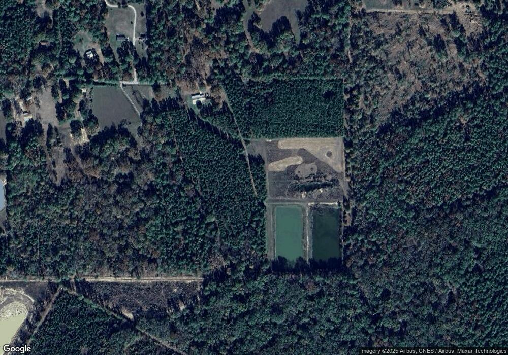
Map
Nearby Homes
- 1025 W Bryant Rd
- 632 W Bryant Rd
- 1353 E Bryant Rd
- 0 Highway 107 None
- 182 W Bryant Rd
- 0 Ridge Lot F Ln Unit 2428425
- 0 Hwy 107 Lot F Oak Ridge Lane of Oak Ridge Sub Unit 151456
- 0 Ridge Ln Unit Lot F 24009936
- 0 Louisiana 107
- 306 Highway 107
- 85 Jim Bryant Rd
- 274 Woodson Landing Rd
- 78 Lucas Rd
- 0 Nation Rd
- 438 Nation Rd
- 0 Old Beaubouef Rd
- 141 Mckay Ln
- 1275 Louisiana 115
- 1403 Philadelphia Rd
- TBD Hooper Rd
- 0 Louie Harmson Rd 1 65 Acres
- 0 Louie Harmson Rd 1 24 Acres
- 0 Louie Harmson Rd
- 625 Louie Harmson Rd
- 611 Louie Harmson Rd
- 597 Louie Harmson Rd
- 576 Louie Harmson Rd
- 561 Louie Harmson Rd
- 540 Louie Harmson Rd
- 842 Louie Harmson Rd
- 783 Louie Harmson Rd
- 496 Louie Harmson Rd
- 2405 Effie Hwy
- 893 Louie Harmson Rd
- 459 Louie Harmson Rd
- 460 Louie Harmson Rd
- 707 Louie Harmson Rd
- 168 Cowboy Ln
- 954 Louie Harmson Rd
- 404 Louie Harmson Rd