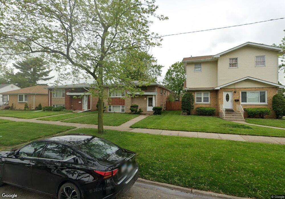
654 Memorial Dr Calumet City, IL 60409
Estimated Value: $171,149 - $251,000
5
Beds
2
Baths
1,219
Sq Ft
$168/Sq Ft
Est. Value
About This Home
This home is located at 654 Memorial Dr, Calumet City, IL 60409 and is currently estimated at $205,287, approximately $168 per square foot. 654 Memorial Dr is a home located in Cook County with nearby schools including Wilson Elementary School, Wentworth Intermediate School, and Wentworth Jr High School.
Ownership History
Date
Name
Owned For
Owner Type
Purchase Details
Closed on
Dec 19, 2013
Sold by
Burton Michelle and Mays Richard P
Bought by
Burton Michelle Y
Current Estimated Value
Purchase Details
Closed on
Oct 26, 2004
Sold by
Mays Richard P and Mays Lorine
Bought by
Burton Michelle
Home Financials for this Owner
Home Financials are based on the most recent Mortgage that was taken out on this home.
Original Mortgage
$161,500
Outstanding Balance
$73,646
Interest Rate
4.5%
Mortgage Type
Unknown
Estimated Equity
$131,641
Purchase Details
Closed on
Oct 29, 1998
Sold by
Pacheco Concepcion and Pacheco Raul
Bought by
Mays Richard P and Mays Lorine C
Home Financials for this Owner
Home Financials are based on the most recent Mortgage that was taken out on this home.
Original Mortgage
$127,700
Interest Rate
6.59%
Create a Home Valuation Report for This Property
The Home Valuation Report is an in-depth analysis detailing your home's value as well as a comparison with similar homes in the area
Home Values in the Area
Average Home Value in this Area
Purchase History
| Date | Buyer | Sale Price | Title Company |
|---|---|---|---|
| Burton Michelle Y | -- | None Available | |
| Burton Michelle | $170,000 | Acqt | |
| Mays Richard P | $142,000 | -- |
Source: Public Records
Mortgage History
| Date | Status | Borrower | Loan Amount |
|---|---|---|---|
| Open | Burton Michelle | $161,500 | |
| Previous Owner | Mays Richard P | $127,700 |
Source: Public Records
Tax History Compared to Growth
Tax History
| Year | Tax Paid | Tax Assessment Tax Assessment Total Assessment is a certain percentage of the fair market value that is determined by local assessors to be the total taxable value of land and additions on the property. | Land | Improvement |
|---|---|---|---|---|
| 2024 | $9,019 | $14,000 | $1,742 | $12,258 |
| 2023 | $6,326 | $14,000 | $1,742 | $12,258 |
| 2022 | $6,326 | $7,850 | $1,525 | $6,325 |
| 2021 | $6,085 | $7,848 | $1,524 | $6,324 |
| 2020 | $5,705 | $7,848 | $1,524 | $6,324 |
| 2019 | $7,392 | $9,675 | $1,415 | $8,260 |
| 2018 | $7,241 | $9,675 | $1,415 | $8,260 |
| 2017 | $6,997 | $9,675 | $1,415 | $8,260 |
| 2016 | $6,205 | $9,367 | $1,306 | $8,061 |
| 2015 | $6,096 | $9,367 | $1,306 | $8,061 |
| 2014 | $6,638 | $9,367 | $1,306 | $8,061 |
| 2013 | $6,149 | $10,619 | $1,306 | $9,313 |
Source: Public Records
Map
Nearby Homes
- 580 Hirsch Ave
- 566 Hirsch Ave
- 772 Memorial Dr
- 650 Greenbay Ave
- 650 Mackinaw Ave
- 658 Mackinaw Ave
- 617 Hirsch Ave
- 510 Mackinaw Ave
- 655 Hirsch Ave
- 615 Price Ave
- 708 May St
- 525 Price Ave
- 719 Greenbay Ave
- 811 Sibley Blvd
- 527 Gordon Ave
- 455 Buffalo Ave
- 502 154th Place
- 579 Freeland Ave
- 505 154th Place
- 434 Mackinaw Ave
- 650 Memorial Dr
- 650 Memorial Dr
- 658 Memorial Dr
- 660 Memorial Dr
- 562 Greenbay Ave
- 666 Memorial Dr
- 666 Memorial Dr
- 560 Greenbay Ave
- 624 Memorial Dr
- 563 Mackinaw Ave
- 618 Memorial Dr
- 550 Greenbay Ave
- 674 Memorial Dr
- 561 Mackinaw Ave
- 651 Memorial Dr
- 663 Memorial Dr
- 663 Memorial Dr
- 563 Greenbay Ave
- 548 Greenbay Ave
- 557 Mackinaw Ave