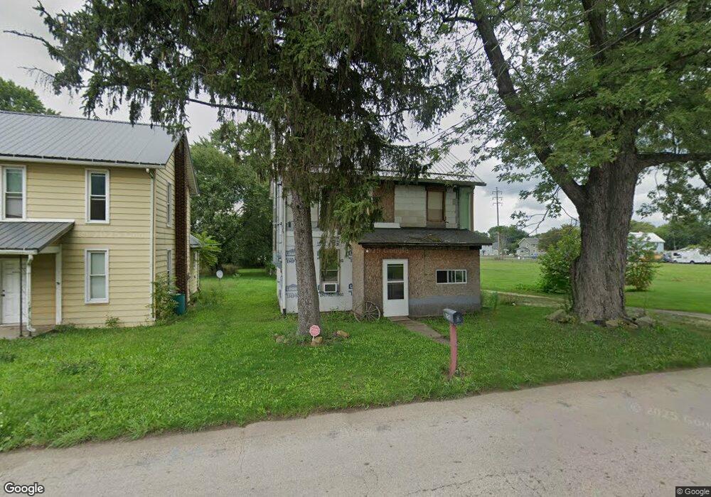
654 S Mahoning Ave Alliance, OH 44601
Estimated Value: $53,868 - $109,000
3
Beds
1
Bath
1,300
Sq Ft
$61/Sq Ft
Est. Value
About This Home
This home is located at 654 S Mahoning Ave, Alliance, OH 44601 and is currently estimated at $79,217, approximately $60 per square foot. 654 S Mahoning Ave is a home located in Mahoning County with nearby schools including Alliance Intermediate School at Northside, Alliance Elementary School at Rockhill, and Alliance Middle School.
Ownership History
Date
Name
Owned For
Owner Type
Purchase Details
Closed on
Nov 24, 2015
Sold by
Estate Of Michael D Landwert
Bought by
Landwert Alice M
Current Estimated Value
Purchase Details
Closed on
Nov 23, 2015
Sold by
Landwert Alice M
Bought by
Beadnell Dwaine A
Purchase Details
Closed on
May 13, 2013
Sold by
Rowles Gary M
Bought by
Wallace Betty
Purchase Details
Closed on
Mar 26, 2004
Sold by
Wright Karen S
Bought by
Landwert Michael D and Rowles Gary M
Purchase Details
Closed on
Nov 22, 2002
Sold by
Wright Robert Lee and Wright Tina Marie
Bought by
Wright Karen S
Purchase Details
Closed on
Mar 17, 1993
Bought by
Wright Robert L and Wright Tina M
Create a Home Valuation Report for This Property
The Home Valuation Report is an in-depth analysis detailing your home's value as well as a comparison with similar homes in the area
Home Values in the Area
Average Home Value in this Area
Purchase History
| Date | Buyer | Sale Price | Title Company |
|---|---|---|---|
| Landwert Alice M | -- | Attorney | |
| Beadnell Dwaine A | $3,500 | Attorney | |
| Wallace Betty | -- | None Available | |
| Landwert Michael D | $6,000 | -- | |
| Wright Karen S | -- | -- | |
| Wright Robert L | -- | -- |
Source: Public Records
Tax History Compared to Growth
Tax History
| Year | Tax Paid | Tax Assessment Tax Assessment Total Assessment is a certain percentage of the fair market value that is determined by local assessors to be the total taxable value of land and additions on the property. | Land | Improvement |
|---|---|---|---|---|
| 2024 | $265 | $6,480 | $780 | $5,700 |
| 2023 | $276 | $6,480 | $780 | $5,700 |
| 2022 | $280 | $6,340 | $610 | $5,730 |
| 2021 | $280 | $6,340 | $610 | $5,730 |
| 2020 | $290 | $6,340 | $610 | $5,730 |
| 2019 | $259 | $5,430 | $610 | $4,820 |
| 2018 | $326 | $5,430 | $610 | $4,820 |
| 2017 | $303 | $5,430 | $610 | $4,820 |
| 2016 | $325 | $6,300 | $610 | $5,690 |
| 2015 | $148 | $2,890 | $610 | $2,280 |
| 2014 | $154 | $2,890 | $610 | $2,280 |
| 2013 | $152 | $2,890 | $610 | $2,280 |
Source: Public Records
Map
Nearby Homes
- 22841 Lake Park Blvd
- 831 Wade Ave
- 814 Milner St
- 442 S Liberty Ave
- 1233 Woodland Ave
- 1044 S Liberty Ave
- 548 E High St
- V/L S Fredeom Ave
- 452 E Summit St
- 1005 S Freedom Ave
- 432 S Linden Ave
- 404 S Linden Ave
- 729 Waugh St
- 834 Devine St
- 328 N Webb Ave
- 361 E Main St
- 167 11th St
- 1437 S Linden Ave
- 652 N Webb Ave
- 807 S Union Ave
- 638 S Mahoning Ave
- 634 S Mahoning Ave
- 632 S Mahoning Ave
- 631 S Mahoning Ave
- 604 S Mahoning Ave
- 613 S Mahoning Ave
- 656 Willow Ave
- 666 Willow Ave
- 1422 E Summit St
- 22865 Lake Park Blvd
- 1404 E Summit St
- 22849 Lake Park Blvd
- 545 S Mahoning Ave
- 723 S Mahoning Ave
- 530 S Mahoning Ave
- 22821 Lake Park Blvd
- 529 S Mahoning Ave
- 22813 Lake Park Blvd
- 22862 Alden Ave
- 22854 Alden Ave