654 Star Point Rd Carrollton, GA 30116
Estimated Value: $660,000 - $781,766
3
Beds
2
Baths
4,934
Sq Ft
$146/Sq Ft
Est. Value
About This Home
This home is located at 654 Star Point Rd, Carrollton, GA 30116 and is currently estimated at $720,883, approximately $146 per square foot. 654 Star Point Rd is a home located in Carroll County with nearby schools including Roopville Elementary School, Central Middle School, and Central High School.
Ownership History
Date
Name
Owned For
Owner Type
Purchase Details
Closed on
Nov 29, 2017
Sold by
North Ricky
Bought by
North Deborah B
Current Estimated Value
Purchase Details
Closed on
Oct 31, 2017
Sold by
North Ricky
Bought by
North Deborah B
Purchase Details
Closed on
Sep 16, 2003
Sold by
Skinner Joann S
Bought by
North Ricky
Purchase Details
Closed on
Oct 27, 1997
Sold by
Mcgowan Kenneth and Mcgowan Jo
Bought by
Skinner Joann S
Purchase Details
Closed on
Jun 17, 1997
Sold by
Mcgowan
Bought by
Mcgowan Kenneth and Mcgowan Jo
Purchase Details
Closed on
Mar 24, 1989
Bought by
Mcgowan
Create a Home Valuation Report for This Property
The Home Valuation Report is an in-depth analysis detailing your home's value as well as a comparison with similar homes in the area
Home Values in the Area
Average Home Value in this Area
Purchase History
| Date | Buyer | Sale Price | Title Company |
|---|---|---|---|
| North Deborah B | -- | -- | |
| North Deborah B | -- | -- | |
| North Ricky | $165,000 | -- | |
| North Ricky | -- | -- | |
| Skinner Joann S | -- | -- | |
| Mcgowan Kenneth | -- | -- | |
| Mcgowan | -- | -- |
Source: Public Records
Tax History Compared to Growth
Tax History
| Year | Tax Paid | Tax Assessment Tax Assessment Total Assessment is a certain percentage of the fair market value that is determined by local assessors to be the total taxable value of land and additions on the property. | Land | Improvement |
|---|---|---|---|---|
| 2024 | $913 | $335,242 | $28,885 | $306,357 |
| 2023 | $913 | $303,017 | $23,108 | $279,909 |
| 2022 | $943 | $224,537 | $15,405 | $209,132 |
| 2021 | $950 | $191,148 | $12,324 | $178,824 |
| 2020 | $954 | $168,669 | $11,204 | $157,465 |
| 2019 | $3,670 | $154,853 | $11,204 | $143,649 |
| 2018 | $3,181 | $125,147 | $3,944 | $121,203 |
| 2017 | $3,296 | $125,147 | $3,944 | $121,203 |
| 2016 | $3,298 | $125,147 | $3,944 | $121,203 |
| 2015 | $1,662 | $59,429 | $8,365 | $51,064 |
| 2014 | $1,669 | $59,429 | $8,365 | $51,064 |
Source: Public Records
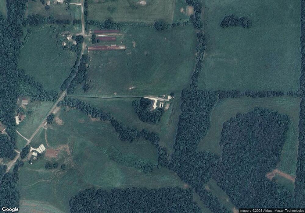
Map
Nearby Homes
- 00 Ringer Rd
- 1170 Lowell Rd
- 0 Lowell Rd Unit 10640679
- 0 Ringer Rd Unit 10595950
- 2088 Star Point Rd
- 500 Coleman Mill Rd
- 0 Bonner Goldmine Rd Unit 145631
- 0 Bonner Goldmine Rd Unit 10433818
- 221 Valley Ridge Dr
- 484 Carrie Kathleen Terrace
- 1915 Whooping Creek Church Rd
- 472 Carrie Kathleen Terrace
- 1520 Whooping Creek Church Rd
- 1512 Whooping Creek Church Rd
- 1502 Whooping Creek Church Rd
- 1921 Star Point Rd
- 2237 Clem Lowell Rd
- 597 Star Point Rd
- 725 Star Point Rd
- 520 Star Point Rd
- 732 Star Point Rd
- 541 Star Point Rd
- 785 Star Point Rd
- 795 Star Point Rd
- 515 Star Point Rd
- 430 Star Point Rd
- 465 Star Point Rd
- 1052 Ringer Rd
- 1030 Ringer Rd
- 1074 Ringer Rd
- 934 Ringer Rd
- 886 Ringer Rd
- 800 Ringer Rd
- 834 Ringer Rd
- 800 Ringer Rd
- 1138 Ringer Rd
- 672 Ringer Rd