Estimated Value: $200,000 - $296,901
--
Bed
--
Bath
3,375
Sq Ft
$74/Sq Ft
Est. Value
About This Home
This home is located at 654 Sumner Airport Rd, Lenox, GA 31637 and is currently estimated at $251,225, approximately $74 per square foot. 654 Sumner Airport Rd is a home located in Cook County with nearby schools including Cook Primary School, Cook Elementary School, and Cook County Middle School.
Ownership History
Date
Name
Owned For
Owner Type
Purchase Details
Closed on
Dec 31, 2013
Sold by
Sumner Betty
Bought by
Sumner Ty Howard
Current Estimated Value
Home Financials for this Owner
Home Financials are based on the most recent Mortgage that was taken out on this home.
Original Mortgage
$80,000
Outstanding Balance
$60,372
Interest Rate
4.38%
Mortgage Type
New Conventional
Estimated Equity
$190,853
Create a Home Valuation Report for This Property
The Home Valuation Report is an in-depth analysis detailing your home's value as well as a comparison with similar homes in the area
Home Values in the Area
Average Home Value in this Area
Purchase History
| Date | Buyer | Sale Price | Title Company |
|---|---|---|---|
| Sumner Ty Howard | $100,000 | -- |
Source: Public Records
Mortgage History
| Date | Status | Borrower | Loan Amount |
|---|---|---|---|
| Open | Sumner Ty Howard | $80,000 |
Source: Public Records
Tax History Compared to Growth
Tax History
| Year | Tax Paid | Tax Assessment Tax Assessment Total Assessment is a certain percentage of the fair market value that is determined by local assessors to be the total taxable value of land and additions on the property. | Land | Improvement |
|---|---|---|---|---|
| 2024 | $2,680 | $101,482 | $10,037 | $91,445 |
| 2023 | $2,346 | $89,098 | $10,037 | $79,061 |
| 2022 | $2,317 | $88,023 | $8,962 | $79,061 |
| 2021 | $2,086 | $74,163 | $8,962 | $65,201 |
| 2020 | $2,086 | $74,163 | $8,962 | $65,201 |
| 2019 | $2,087 | $74,163 | $8,962 | $65,201 |
| 2018 | $2,145 | $74,163 | $8,962 | $65,201 |
| 2017 | $1,871 | $66,634 | $8,962 | $57,672 |
| 2016 | $1,874 | $66,634 | $8,962 | $57,672 |
| 2015 | $1,877 | $66,634 | $8,962 | $57,672 |
| 2014 | $1,881 | $66,634 | $8,962 | $57,672 |
| 2013 | -- | $66,633 | $8,961 | $57,672 |
Source: Public Records
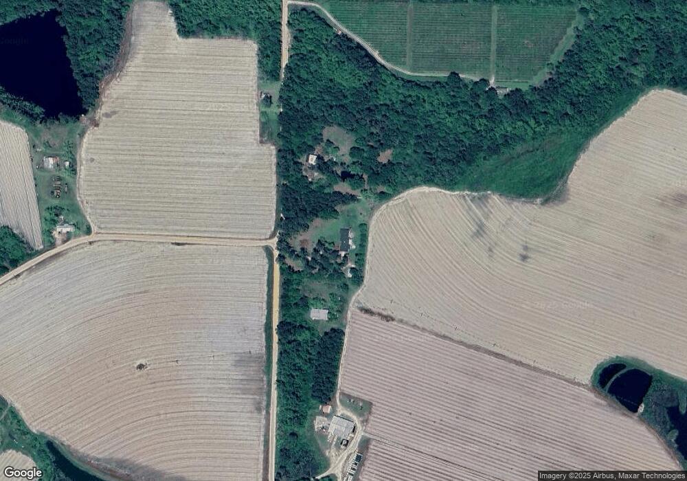
Map
Nearby Homes
- 86 Owen Medford Rd
- 0 E 0 Hwy 125 S
- 320 E Central Ave
- 77 S Bobby St
- 221 Rentz Bridge Rd
- 83 W Gray Ave
- 411 S Robinson St
- 801 Broad St
- 69 Branch Ln
- 0 S Us Hwy 41 Lee Ball Rd Unit 134993
- 720 Vanceville County Line Rd
- 2635 Brookfield-Lenox Rd
- 5015 Union Rd
- 0 Baker Rd
- 187 Bussell Rd
- 15150 U S 41
- 58 Honeysuckle Ln
- 39 Paradise Lake Rd
- 350 Copeland Rd
- 5 Paradise Lake Rd
- 710 Sumner Airport Rd
- 779 Sumner Airport Rd
- 878 Sumner Airport Rd
- 815 Medford Rd
- 204 Cook County Line Rd
- 178 Cook County Line Rd
- 690 Medford Rd
- 596 Medford Rd
- 1224 Sumner Airport Rd
- 36 Rutland Bridge Rd
- 1034 Bob Lindsey Rd
- 372 Medford Rd
- 1260 Bob Lindsey Rd
- 188 Medford Rd
- 2919 Daughtrey Rutland Rd
- 706 Rutland Bridge Rd
- 3160 Daughtrey Rutland Rd
- 582 Owen Medford Rd
- 3294 Daughtrey Rutland Rd
- 3010 Daughtrey Rutland Rd