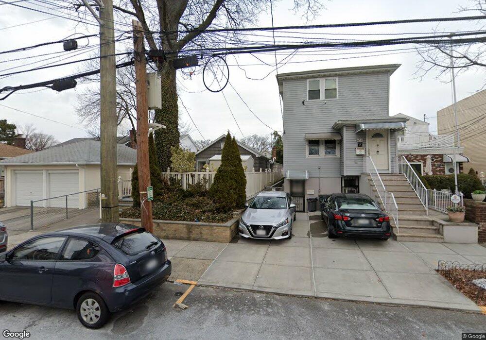
654 Vincent Ave Bronx, NY 10465
Throgs Neck-Edgewater Park NeighborhoodEstimated Value: $403,000 - $649,000
3
Beds
1
Bath
1,125
Sq Ft
$506/Sq Ft
Est. Value
About This Home
This home is located at 654 Vincent Ave, Bronx, NY 10465 and is currently estimated at $569,298, approximately $506 per square foot. 654 Vincent Ave is a home located in Bronx County with nearby schools including P.S. 72 - Dr. William Dorney, Herbert H Lehman High School, and St Benedict School.
Ownership History
Date
Name
Owned For
Owner Type
Purchase Details
Closed on
Dec 2, 2010
Sold by
Diloreto Donna and Diloreto George
Bought by
Collins Gustavo D and Collins Del Rio
Current Estimated Value
Home Financials for this Owner
Home Financials are based on the most recent Mortgage that was taken out on this home.
Original Mortgage
$318,150
Outstanding Balance
$210,409
Interest Rate
4.24%
Mortgage Type
Purchase Money Mortgage
Estimated Equity
$358,889
Create a Home Valuation Report for This Property
The Home Valuation Report is an in-depth analysis detailing your home's value as well as a comparison with similar homes in the area
Home Values in the Area
Average Home Value in this Area
Purchase History
| Date | Buyer | Sale Price | Title Company |
|---|---|---|---|
| Collins Gustavo D | $350,000 | -- |
Source: Public Records
Mortgage History
| Date | Status | Borrower | Loan Amount |
|---|---|---|---|
| Open | Collins Gustavo D | $318,150 |
Source: Public Records
Tax History
| Year | Tax Paid | Tax Assessment Tax Assessment Total Assessment is a certain percentage of the fair market value that is determined by local assessors to be the total taxable value of land and additions on the property. | Land | Improvement |
|---|---|---|---|---|
| 2025 | $5,120 | $27,023 | $7,186 | $19,837 |
| 2024 | $5,120 | $25,493 | $6,146 | $19,347 |
| 2023 | $4,884 | $24,050 | $5,635 | $18,415 |
| 2022 | $4,530 | $34,620 | $8,520 | $26,100 |
| 2021 | $4,775 | $36,360 | $8,520 | $27,840 |
| 2020 | $4,767 | $34,740 | $8,520 | $26,220 |
| 2019 | $4,444 | $28,020 | $8,520 | $19,500 |
| 2018 | $4,086 | $20,042 | $6,324 | $13,718 |
| 2017 | $3,855 | $18,909 | $6,850 | $12,059 |
| 2016 | $3,780 | $18,909 | $7,606 | $11,303 |
| 2015 | $2,152 | $18,766 | $7,450 | $11,316 |
| 2014 | $2,152 | $17,704 | $8,038 | $9,666 |
Source: Public Records
Map
Nearby Homes
- 636 Throggs Neck Expy
- 3152 Randall Ave
- 3215 Randall Ave
- 551B Vincent Ave
- 537A Ellsworth Ave
- 536 Throgs Neck Expy
- 3255 Randall Ave Unit 5H
- 1321 Shore Dr
- 730 Logan Ave
- 725 Logan Ave
- 755 Logan Ave
- 820 Hollywood Ave
- 822 Hollywood Ave
- 541 Logan Ave
- 512 Logan Ave
- 854 Throgs Neck Expy
- 3224 Lafayette Ave
- 541 Edison Ave
- 2886 Randall Ave
- 2887 Lamport Place
- 652 Vincent Ave
- 650 Vincent Ave
- 670 Vincent Ave
- 3210 Randall Ave
- 648 Vincent Ave
- 3214 Randall Ave
- 646 Vincent Ave
- 663 Wilcox Ave
- 661 Wilcox Ave
- 3216 Randall Ave
- 659 Wilcox Ave
- 644 Vincent Ave
- 657 Wilcox Ave
- 642 Vincent Ave
- 665 Wilcox Ave
- 657 Vincent Ave
- 653 Wilcox Ave
- 640 Vincent Ave
- 669 Wilcox Ave
- 649 Wilcox Ave
Your Personal Tour Guide
Ask me questions while you tour the home.