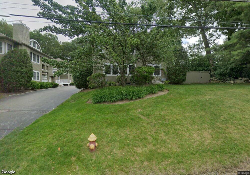
654 Walpole St Unit B Norwood, MA 02062
South Norwood NeighborhoodEstimated Value: $782,059 - $829,000
3
Beds
3
Baths
2,236
Sq Ft
$358/Sq Ft
Est. Value
About This Home
This home is located at 654 Walpole St Unit B, Norwood, MA 02062 and is currently estimated at $801,015, approximately $358 per square foot. 654 Walpole St Unit B is a home located in Norfolk County with nearby schools including Norwood High School, Norwood Montessori School, and St Catherine Of Siena School.
Ownership History
Date
Name
Owned For
Owner Type
Purchase Details
Closed on
Mar 8, 2006
Sold by
Jasz Llc
Bought by
Mohiuddin Sadia and Mohiuddin Shahab
Current Estimated Value
Home Financials for this Owner
Home Financials are based on the most recent Mortgage that was taken out on this home.
Original Mortgage
$400,000
Outstanding Balance
$225,796
Interest Rate
6.15%
Mortgage Type
Purchase Money Mortgage
Estimated Equity
$575,219
Create a Home Valuation Report for This Property
The Home Valuation Report is an in-depth analysis detailing your home's value as well as a comparison with similar homes in the area
Home Values in the Area
Average Home Value in this Area
Purchase History
| Date | Buyer | Sale Price | Title Company |
|---|---|---|---|
| Mohiuddin Sadia | $519,000 | -- |
Source: Public Records
Mortgage History
| Date | Status | Borrower | Loan Amount |
|---|---|---|---|
| Open | Mohiuddin Sadia | $400,000 | |
| Closed | Mohiuddin Sadia | $67,100 |
Source: Public Records
Tax History Compared to Growth
Tax History
| Year | Tax Paid | Tax Assessment Tax Assessment Total Assessment is a certain percentage of the fair market value that is determined by local assessors to be the total taxable value of land and additions on the property. | Land | Improvement |
|---|---|---|---|---|
| 2025 | $77 | $730,700 | $0 | $730,700 |
| 2024 | $7,624 | $728,200 | $0 | $728,200 |
| 2023 | $6,904 | $669,000 | $0 | $669,000 |
| 2022 | $6,740 | $627,000 | $0 | $627,000 |
| 2021 | $6,544 | $577,100 | $0 | $577,100 |
| 2020 | $6,173 | $553,600 | $0 | $553,600 |
| 2019 | $5,336 | $490,000 | $0 | $490,000 |
| 2018 | $5,411 | $487,900 | $0 | $487,900 |
| 2017 | $4,583 | $411,000 | $0 | $411,000 |
| 2016 | $4,570 | $411,000 | $0 | $411,000 |
| 2015 | $4,480 | $390,600 | $0 | $390,600 |
| 2014 | $4,287 | $370,200 | $0 | $370,200 |
Source: Public Records
Map
Nearby Homes
- 531 Walpole St
- 22 Coolidge Rd
- 20 Rockhill St
- 20 Rockhill St
- 70 Endicott St Unit 404
- 70 Endicott St Unit 1306
- 18 Laurel Rd
- 34 Austin St Unit 1L
- 7 Washington Green
- 5 Atwood Ave
- 66 Gould St
- 0 Charlotte Rd
- 291 Plimpton St
- 1086 Washington St
- 363 - 367 Washington St
- 52 Yarmouth Rd
- 10 Victoria Cir
- 11 Park Ln
- 909 Washington St U14 On Walnut St Unit 14
- Unit 11 Powder House Ln Unit 11
- 654 Walpole St Unit D
- 654 Walpole St Unit C
- 654 Walpole St Unit A
- 654 Walpole St
- 0 Main St
- 651 Walpole St
- 649 Walpole St
- 655 Walpole St
- 668 Walpole St
- 643 Walpole St
- 5 Main St
- 3 Countryside Ln
- 10 Main St
- 7 Countryside Ln
- 4 Garden Pkwy
- 11 Countryside Ln
- 624 Walpole St
- 624 Walpole St
- 624 Walpole St Unit 13-203
- 624 Walpole St Unit T-1204