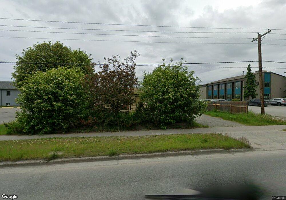
6541 Debarr Rd Anchorage, AK 99504
Northeast Anchorage NeighborhoodEstimated Value: $191,000 - $321,717
3
Beds
1
Bath
1,740
Sq Ft
$159/Sq Ft
Est. Value
About This Home
This home is located at 6541 Debarr Rd, Anchorage, AK 99504 and is currently estimated at $277,239, approximately $159 per square foot. 6541 Debarr Rd is a home located in Anchorage Municipality with nearby schools including Ptarmigan Elementary School, Clark Middle School, and Bartlett High School.
Ownership History
Date
Name
Owned For
Owner Type
Purchase Details
Closed on
Sep 12, 2006
Sold by
Kisling Gregory M and Smith Rhonda
Bought by
Anchorage Baptist Temple Inc
Current Estimated Value
Purchase Details
Closed on
Apr 12, 2004
Sold by
Phukan Arvind and Phukan Dipali
Bought by
Kisling Gregory M
Home Financials for this Owner
Home Financials are based on the most recent Mortgage that was taken out on this home.
Original Mortgage
$131,600
Interest Rate
5.57%
Mortgage Type
Purchase Money Mortgage
Create a Home Valuation Report for This Property
The Home Valuation Report is an in-depth analysis detailing your home's value as well as a comparison with similar homes in the area
Home Values in the Area
Average Home Value in this Area
Purchase History
| Date | Buyer | Sale Price | Title Company |
|---|---|---|---|
| Anchorage Baptist Temple Inc | -- | First American Title Ins Co | |
| Kisling Gregory M | -- | First American Title Ins Co | |
| Kisling Gregory M | -- | -- |
Source: Public Records
Mortgage History
| Date | Status | Borrower | Loan Amount |
|---|---|---|---|
| Previous Owner | Kisling Gregory M | $131,600 |
Source: Public Records
Tax History
| Year | Tax Paid | Tax Assessment Tax Assessment Total Assessment is a certain percentage of the fair market value that is determined by local assessors to be the total taxable value of land and additions on the property. | Land | Improvement |
|---|---|---|---|---|
| 2025 | $4,432 | $295,900 | $94,700 | $201,200 |
| 2024 | $4,432 | $274,500 | $94,700 | $179,800 |
| 2023 | $4,363 | $256,200 | $94,700 | $161,500 |
| 2022 | $4,198 | $249,300 | $94,700 | $154,600 |
| 2021 | $4,042 | $224,300 | $94,700 | $129,600 |
| 2020 | $3,764 | $221,400 | $94,700 | $126,700 |
| 2019 | $3,707 | $226,600 | $94,700 | $131,900 |
| 2018 | $3,605 | $219,800 | $87,900 | $131,900 |
| 2017 | $3,643 | $232,600 | $87,900 | $144,700 |
| 2016 | $3,246 | $225,100 | $82,600 | $142,500 |
| 2015 | $3,246 | $218,100 | $82,600 | $135,500 |
| 2014 | $3,246 | $227,000 | $82,600 | $144,400 |
Source: Public Records
Map
Nearby Homes
- Tr E Debarr Rd
- 1101 Bentree Cir
- 1500 Marten St
- 1120 Ermine St
- 6229 Winding Way Unit 6
- 6109 Debarr Rd Unit 210
- 1506 Atkinson Dr
- 6110 E 12th Ave Unit 3B
- 6038 E 12th Ave
- 6600 Donna Dr
- 1507 Elmendorf Dr
- 1265 Norman St Unit 18
- 6030 Staedem Dr
- 1415 Twining Dr
- 7339 E 17th Ave
- 420 Peppertree Loop
- 7426 E 20th Ave
- 1482 Shallow Pool Dr Unit M3
- 7624 Dover Ave
- L2 Skwentna Landing
- 6610 E 12th Ave
- 6600 E 12th Ave
- 6620 E 12th Ave
- 6515 Mink Ave
- 6612 E 12th Ave
- 6511 Mink Ave
- 6630 E 12th Ave
- 6607 Mink Ave
- 6500 E 12th Ave
- 6507 Mink Ave
- 6601 Mink Ave
- 6609 Mink Ave
- 1200 Turpin St
- 1301 Summit View St
- 6609 E 12th Ave
- 6601 E 12th Ave
- 6607 E 12th Ave
- 1318 Turpin St
- 6611 E 12th Ave
- 6505 E 12th Ave
Your Personal Tour Guide
Ask me questions while you tour the home.