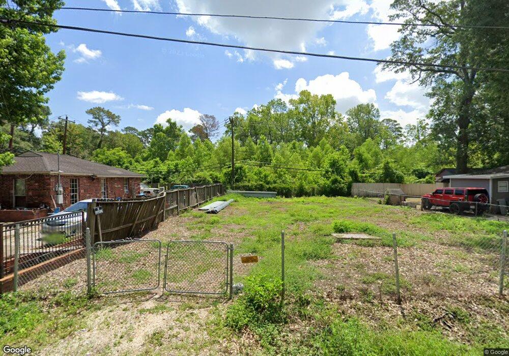
6542 Mcwilliams Dr Houston, TX 77091
Acres Homes NeighborhoodEstimated Value: $82,000 - $269,000
2
Beds
1
Bath
672
Sq Ft
$276/Sq Ft
Est. Value
About This Home
This home is located at 6542 Mcwilliams Dr, Houston, TX 77091 and is currently estimated at $185,333, approximately $275 per square foot. 6542 Mcwilliams Dr is a home located in Harris County with nearby schools including Reece Academy, Anderson Academy, and Drew Academy.
Ownership History
Date
Name
Owned For
Owner Type
Purchase Details
Closed on
Feb 11, 2019
Sold by
Sosa Maria
Bought by
Chavez Gamboa Hector Ivan
Current Estimated Value
Purchase Details
Closed on
Sep 16, 2012
Sold by
Martinez Jose Audelio
Bought by
Sosa Maria
Purchase Details
Closed on
Feb 21, 2012
Sold by
Autenreith Edwin B and Autenreith Jacynda M
Bought by
Martinez Jose Audelio
Purchase Details
Closed on
Jan 7, 2011
Sold by
Hillsman Elanor Joyce and Wright Elnora Joyce
Bought by
County Of Harris and City Of Houston
Create a Home Valuation Report for This Property
The Home Valuation Report is an in-depth analysis detailing your home's value as well as a comparison with similar homes in the area
Home Values in the Area
Average Home Value in this Area
Purchase History
| Date | Buyer | Sale Price | Title Company |
|---|---|---|---|
| Chavez Gamboa Hector Ivan | -- | None Available | |
| Sosa Maria | -- | None Available | |
| Martinez Jose Audelio | -- | None Available | |
| County Of Harris | -- | None Available |
Source: Public Records
Tax History Compared to Growth
Tax History
| Year | Tax Paid | Tax Assessment Tax Assessment Total Assessment is a certain percentage of the fair market value that is determined by local assessors to be the total taxable value of land and additions on the property. | Land | Improvement |
|---|---|---|---|---|
| 2025 | $1,354 | $61,380 | $61,380 | -- |
| 2024 | $1,354 | $59,640 | $59,640 | -- |
| 2023 | $1,224 | $55,664 | $55,664 | $0 |
| 2022 | $1,245 | $51,900 | $51,900 | $0 |
| 2021 | $717 | $28,545 | $28,545 | $0 |
| 2020 | $753 | $28,545 | $28,545 | $0 |
| 2019 | $467 | $16,868 | $16,868 | $0 |
| 2018 | $112 | $7,785 | $7,785 | $0 |
| 2017 | $207 | $7,785 | $7,785 | $0 |
| 2016 | $207 | $7,785 | $7,785 | $0 |
| 2015 | $245 | $9,191 | $7,785 | $1,406 |
| 2014 | $245 | $9,191 | $7,785 | $1,406 |
Source: Public Records
Map
Nearby Homes
- 6547 Mcwilliams Dr
- 6605 Greenhurst St
- 2212 Wilburforce St
- 6621 Greenhurst St
- 6706 Greenhurst St
- 6514 Old Olive Tree Dr
- 6515 Old Olive Tree Dr
- 6511 Old Olive Tree Dr
- 6503 Old Olive Tree Dr
- 6701 Bunche Dr
- 6626 Ezzard Charles Ln
- 2237 Wilburforce St
- 6609 Ezzard Charles Ln
- 6321 Joe Louis Ln
- 2253 Wilburforce St
- 5918 Manning Oaks St
- 6417 Lamayah St
- 6407 Lamayah St
- 6431 Lamayah St
- 00 Bayou View Dr
- 6538 Mcwilliams Dr
- 6546 Mcwilliams Dr
- 6530 Mcwilliams Dr
- 6543 Mcwilliams Dr
- 6534 Mcwilliams Dr
- 6539 Mcwilliams Dr
- 6601 Mcwilliams Dr
- 6602 Mcwilliams Dr
- 6601 Greenhurst St
- 6531 Mcwilliams Dr
- 6610 Mcwilliams Dr
- 6609 Mcwilliams Dr
- 2011 Glidden St
- 6529 Mcwilliams Dr
- 6614 Mcwilliams Dr
- 6610 Bethune Dr
- 6612 Greenhurst St
- 6613 Greenhurst St
- 6601 Bethune Dr
- 6622 Mcwilliams Dr