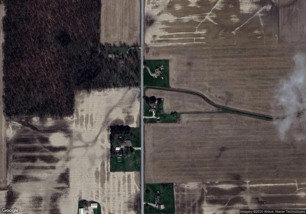
6543 N 600 W Decatur, IN 46733
Estimated Value: $297,563 - $350,000
3
Beds
3
Baths
1,770
Sq Ft
$178/Sq Ft
Est. Value
About This Home
This home is located at 6543 N 600 W, Decatur, IN 46733 and is currently estimated at $314,391, approximately $177 per square foot. 6543 N 600 W is a home located in Adams County with nearby schools including Southeast Elementary School, Bellmont Elementary School, and Bellmont Middle School.
Create a Home Valuation Report for This Property
The Home Valuation Report is an in-depth analysis detailing your home's value as well as a comparison with similar homes in the area
Home Values in the Area
Average Home Value in this Area
Tax History Compared to Growth
Tax History
| Year | Tax Paid | Tax Assessment Tax Assessment Total Assessment is a certain percentage of the fair market value that is determined by local assessors to be the total taxable value of land and additions on the property. | Land | Improvement |
|---|---|---|---|---|
| 2024 | $1,815 | $231,200 | $24,400 | $206,800 |
| 2023 | $1,666 | $215,000 | $24,400 | $190,600 |
| 2022 | $1,491 | $202,800 | $24,400 | $178,400 |
| 2021 | $1,390 | $187,900 | $21,500 | $166,400 |
| 2020 | $1,265 | $182,400 | $21,500 | $160,900 |
| 2019 | $1,066 | $167,300 | $21,500 | $145,800 |
| 2018 | $1,090 | $161,200 | $21,500 | $139,700 |
| 2017 | $1,041 | $157,900 | $20,700 | $137,200 |
| 2016 | $960 | $154,000 | $20,700 | $133,300 |
| 2014 | $815 | $149,200 | $20,700 | $128,500 |
| 2013 | $1,038 | $148,100 | $20,700 | $127,400 |
Source: Public Records
Map
Nearby Homes
- 6010 N 600 W
- 3803 U S 224
- 5020 N 400 W
- 6068 N West St
- 7805 N 600 E
- 2591 Hogans Alley
- 2593 Hogans Alley
- 11063 N 700 E
- 1031 Palmer's Pass
- 4035 E 800 N
- 2541 Hogans Alley
- 3260 N 200 W
- Harmony Plan at Crosswind Lakes
- Chatham Plan at Crosswind Lakes
- 305 Piper Ct
- 410 Piper Ct
- 406 Piper Ct
- 1705 W Monroe St
- 6936 N State Road 1
- 1137 Southampton Dr