6543 Xmas Tree Dr Orefield, PA 18069
Lowhill Township NeighborhoodEstimated Value: $805,000 - $929,000
4
Beds
3
Baths
2,936
Sq Ft
$288/Sq Ft
Est. Value
About This Home
This home is located at 6543 Xmas Tree Dr, Orefield, PA 18069 and is currently estimated at $845,963, approximately $288 per square foot. 6543 Xmas Tree Dr is a home located in Lehigh County with nearby schools including Northwestern Lehigh High School.
Ownership History
Date
Name
Owned For
Owner Type
Purchase Details
Closed on
Feb 20, 2023
Sold by
Aloi Susan
Bought by
Aloi Susan and Aloi Anthony
Current Estimated Value
Purchase Details
Closed on
Nov 22, 2010
Sold by
Smuldis Tr Vincent
Bought by
Aloi Susan
Home Financials for this Owner
Home Financials are based on the most recent Mortgage that was taken out on this home.
Original Mortgage
$364,000
Interest Rate
4.22%
Mortgage Type
New Conventional
Purchase Details
Closed on
Sep 27, 1994
Sold by
Smuldis Vincent and Smuldis Ann R
Bought by
Smuldis Vincent & Ann R Trustees
Purchase Details
Closed on
Jul 1, 1994
Sold by
Smuldis Vincent and Smuldis Ann R
Bought by
Smuldis Vincent and Smuldis Ann R
Create a Home Valuation Report for This Property
The Home Valuation Report is an in-depth analysis detailing your home's value as well as a comparison with similar homes in the area
Home Values in the Area
Average Home Value in this Area
Purchase History
| Date | Buyer | Sale Price | Title Company |
|---|---|---|---|
| Aloi Susan | -- | -- | |
| Aloi Susan | $455,000 | -- | |
| Smuldis Vincent & Ann R Trustees | -- | -- | |
| Smuldis Vincent | -- | -- |
Source: Public Records
Mortgage History
| Date | Status | Borrower | Loan Amount |
|---|---|---|---|
| Previous Owner | Aloi Susan | $364,000 |
Source: Public Records
Tax History Compared to Growth
Tax History
| Year | Tax Paid | Tax Assessment Tax Assessment Total Assessment is a certain percentage of the fair market value that is determined by local assessors to be the total taxable value of land and additions on the property. | Land | Improvement |
|---|---|---|---|---|
| 2025 | $9,694 | $459,400 | $158,500 | $300,900 |
| 2024 | $9,308 | $459,400 | $158,500 | $300,900 |
| 2023 | $8,848 | $459,400 | $158,500 | $300,900 |
| 2022 | $8,618 | $459,400 | $300,900 | $158,500 |
| 2021 | $8,254 | $459,400 | $158,500 | $300,900 |
| 2020 | $8,023 | $459,400 | $158,500 | $300,900 |
| 2019 | $7,827 | $459,400 | $158,500 | $300,900 |
| 2018 | $7,722 | $459,400 | $158,500 | $300,900 |
| 2017 | $7,722 | $459,400 | $158,500 | $300,900 |
| 2016 | -- | $459,400 | $158,500 | $300,900 |
| 2015 | -- | $459,400 | $158,500 | $300,900 |
| 2014 | -- | $459,400 | $158,500 | $300,900 |
Source: Public Records
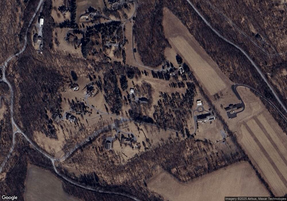
Map
Nearby Homes
- 6365 Constitution Rd
- 3741 Weidasville Rd
- 6428-6436 Horseshoe Rd
- 3609 Windy Rd
- 4260 W Wyndemere Cir
- 4277 Somerset Rd
- 4303 W Wyndemere Cir
- 2784 Township Line Rd
- 5934 Kernsville Rd
- 2423 Post Rd
- 3063 Jordan Rd
- 3054 Jordan Rd
- 8097 Claussville Rd
- 2695 Apple Valley Estates Dr
- 2189 Beechwood St
- 2811 Apple Valley Estates Dr
- 2288 Mulberry Rd
- 2010 Hickory Ln
- 8555 Mohr Ln
- 8519 Mohr Ln
- 6418 Rutledge Dr
- 6556 Xmas Tree Dr
- 6547 Xmas Tree Dr
- 6540 Xmas Tree Dr
- 6436 Rutledge Dr
- 6551 Xmas Tree Dr
- 3434 Weidasville Rd
- 6454 Rutledge Dr
- 3509 Church Rd
- 6427 Rutledge Dr
- 6445 Rutledge Dr
- 6445 Rutledge Dr
- 3704 Weidasville Rd
- 6452 Constitution Rd
- 6534 Farrier Rd
- 6426 Constitution Rd
- 6438 Constitution Rd
- 6295 Molasses Rd
- 3375 Church Rd
- 6410 Rutledge Dr