6545 Lyceum Ct Cincinnati, OH 45230
Mount Washington NeighborhoodEstimated Value: $307,000 - $396,621
2
Beds
4
Baths
1,519
Sq Ft
$224/Sq Ft
Est. Value
About This Home
This home is located at 6545 Lyceum Ct, Cincinnati, OH 45230 and is currently estimated at $340,155, approximately $223 per square foot. 6545 Lyceum Ct is a home with nearby schools including Mt. Washington Elementary School, Clark Montessori High School, and Shroder High School.
Ownership History
Date
Name
Owned For
Owner Type
Purchase Details
Closed on
Mar 19, 1998
Sold by
Campbell Lisa L
Bought by
Srode David C
Current Estimated Value
Home Financials for this Owner
Home Financials are based on the most recent Mortgage that was taken out on this home.
Original Mortgage
$113,600
Interest Rate
7.15%
Purchase Details
Closed on
Mar 14, 1994
Sold by
Zaring Homes Inc
Bought by
Campbell Lisa L
Home Financials for this Owner
Home Financials are based on the most recent Mortgage that was taken out on this home.
Original Mortgage
$111,450
Interest Rate
7.02%
Create a Home Valuation Report for This Property
The Home Valuation Report is an in-depth analysis detailing your home's value as well as a comparison with similar homes in the area
Home Values in the Area
Average Home Value in this Area
Purchase History
| Date | Buyer | Sale Price | Title Company |
|---|---|---|---|
| Srode David C | $142,000 | -- | |
| Campbell Lisa L | -- | -- |
Source: Public Records
Mortgage History
| Date | Status | Borrower | Loan Amount |
|---|---|---|---|
| Previous Owner | Srode David C | $113,600 | |
| Previous Owner | Campbell Lisa L | $111,450 |
Source: Public Records
Tax History Compared to Growth
Tax History
| Year | Tax Paid | Tax Assessment Tax Assessment Total Assessment is a certain percentage of the fair market value that is determined by local assessors to be the total taxable value of land and additions on the property. | Land | Improvement |
|---|---|---|---|---|
| 2024 | $4,515 | $75,793 | $14,000 | $61,793 |
| 2023 | $4,617 | $75,793 | $14,000 | $61,793 |
| 2022 | $4,396 | $64,726 | $13,860 | $50,866 |
| 2021 | $4,234 | $64,726 | $13,860 | $50,866 |
| 2020 | $4,358 | $64,726 | $13,860 | $50,866 |
| 2019 | $4,330 | $58,842 | $12,600 | $46,242 |
| 2018 | $4,337 | $58,842 | $12,600 | $46,242 |
| 2017 | $4,120 | $58,842 | $12,600 | $46,242 |
| 2016 | $4,148 | $58,398 | $12,373 | $46,025 |
| 2015 | $3,738 | $58,398 | $12,373 | $46,025 |
| 2014 | $3,765 | $58,398 | $12,373 | $46,025 |
| 2013 | $3,793 | $57,820 | $12,250 | $45,570 |
Source: Public Records
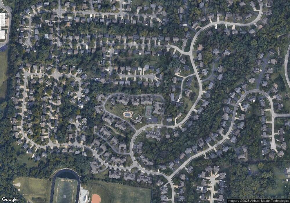
Map
Nearby Homes
- 2091 Wadsbury Dr
- 6745 Maddux Dr
- 1844 Lindsey Ln
- 2213 Clough Ridge Dr Unit 2213
- 0 Berkshire Ln Unit 1835041
- 7179 Paddison Rd
- 2455 Rainbow Ct
- 1679 Locksley Dr
- 6510 Waldorf Place
- 6436 Wildhaven Way
- 6258 Benneville St
- 6390 Cambridge Ave
- 1855 Kingsway Ct
- 6426 Silverfox Dr
- 2460 Cardinal Hill Ct
- 7026 Queensway Ln
- 2220 Salvador St
- 1944 Rockland Ave
- 2456 Doeview Ct
- 2454 Doeview Ct