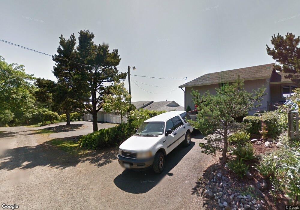
6545 NE Port Dr Lincoln City, OR 97367
Estimated Value: $619,000 - $873,000
2
Beds
2
Baths
1,788
Sq Ft
$421/Sq Ft
Est. Value
About This Home
This home is located at 6545 NE Port Dr, Lincoln City, OR 97367 and is currently estimated at $752,573, approximately $420 per square foot. 6545 NE Port Dr is a home located in Lincoln County with nearby schools including Oceanlake Elementary School, Taft Elementary School, and Taft High School.
Ownership History
Date
Name
Owned For
Owner Type
Purchase Details
Closed on
Nov 1, 2012
Sold by
Huffman Harold Larry
Bought by
Huffman Harold L and Huffman Sandra L
Current Estimated Value
Home Financials for this Owner
Home Financials are based on the most recent Mortgage that was taken out on this home.
Original Mortgage
$675,000
Interest Rate
3.43%
Mortgage Type
Reverse Mortgage Home Equity Conversion Mortgage
Purchase Details
Closed on
Aug 23, 2007
Sold by
Huffman Harold Larry
Bought by
Huffman Harold Larry
Create a Home Valuation Report for This Property
The Home Valuation Report is an in-depth analysis detailing your home's value as well as a comparison with similar homes in the area
Home Values in the Area
Average Home Value in this Area
Purchase History
| Date | Buyer | Sale Price | Title Company |
|---|---|---|---|
| Huffman Harold L | -- | Western Title & Escrow | |
| Huffman Harold Larry | -- | None Available |
Source: Public Records
Mortgage History
| Date | Status | Borrower | Loan Amount |
|---|---|---|---|
| Closed | Huffman Harold L | $675,000 |
Source: Public Records
Tax History Compared to Growth
Tax History
| Year | Tax Paid | Tax Assessment Tax Assessment Total Assessment is a certain percentage of the fair market value that is determined by local assessors to be the total taxable value of land and additions on the property. | Land | Improvement |
|---|---|---|---|---|
| 2024 | $8,309 | $559,870 | -- | -- |
| 2023 | $8,083 | $543,570 | $0 | $0 |
| 2022 | $7,849 | $527,740 | $0 | $0 |
| 2021 | $7,653 | $512,370 | $0 | $0 |
| 2020 | $7,418 | $497,450 | $0 | $0 |
| 2019 | $7,095 | $482,970 | $0 | $0 |
| 2018 | $7,159 | $475,600 | $0 | $0 |
| 2017 | $6,928 | $461,750 | $0 | $0 |
| 2016 | $6,751 | $448,310 | $0 | $0 |
| 2015 | $6,555 | $435,260 | $0 | $0 |
| 2014 | $5,553 | $392,660 | $0 | $0 |
| 2013 | -- | $422,590 | $0 | $0 |
Source: Public Records
Map
Nearby Homes
- TL10400 NE Sal La Sea Dr
- 6421 NE Port Dr
- 0 NE 64th Dr Unit TL12000 443875862
- TL 12000 NE 64th Dr
- 1910 NE 68th St
- 1850 NE 68th St
- 1851 NE 67th St
- VL NE Neptune Dr
- 6538 NE Logan Rd
- 6604 NE Logan Rd
- 6200 Blk NE Port Drive Tl 9200
- 1906 NE 69th St
- TL-7900 NE Oar Dr
- 6310 NE Logan Rd
- 6937 NW Logan Rd
- 1924 NE 71st St
- 6225 NW Logan Rd
- 7101 NW Logan Rd
- 7131 NW Logan Rd
- Tract 62 NE Voyage Ave
- 6537 NE Port Dr
- 6611 NE Port Dr
- 6525 NE Port Dr
- 6550 NE Port Dr
- 6533 NE Port Dr
- 6645 NE Port Dr
- 6540 NE Port Dr
- 6500 Port (Blk) Dr
- 0 SE Port (Blk)
- 6400 Blk Ne Port Drive Tl9900
- 6630 NE Neptune Dr
- 6640 NE Neptune Dr
- 6500 NE Blk Port Dr
- 6700 Neptune (Blk)
- 6495 NE Sal La Sea Dr
- 6695 NE Port Dr
- 2035 NE 66th St
- 6500 NE Port Dr
- 6400 Block NE Port Dr
- 6499 NE Port Dr