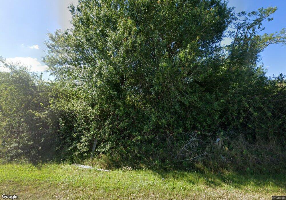
6546 125th Ave E Parrish, FL 34219
Estimated Value: $607,000 - $804,460
4
Beds
3
Baths
3,577
Sq Ft
$199/Sq Ft
Est. Value
About This Home
This home is located at 6546 125th Ave E, Parrish, FL 34219 and is currently estimated at $713,115, approximately $199 per square foot. 6546 125th Ave E is a home located in Manatee County with nearby schools including Annie Lucy Williams Elementary School, Buffalo Creek Middle School, and Parrish Community High School.
Ownership History
Date
Name
Owned For
Owner Type
Purchase Details
Closed on
Jun 30, 2011
Sold by
Sharp Randy and Webb Terri L
Bought by
Metallo Steven M and Metallo M
Current Estimated Value
Home Financials for this Owner
Home Financials are based on the most recent Mortgage that was taken out on this home.
Original Mortgage
$196,000
Outstanding Balance
$135,540
Interest Rate
4.62%
Mortgage Type
New Conventional
Estimated Equity
$577,575
Create a Home Valuation Report for This Property
The Home Valuation Report is an in-depth analysis detailing your home's value as well as a comparison with similar homes in the area
Home Values in the Area
Average Home Value in this Area
Purchase History
| Date | Buyer | Sale Price | Title Company |
|---|---|---|---|
| Metallo Steven M | $257,000 | Attorney |
Source: Public Records
Mortgage History
| Date | Status | Borrower | Loan Amount |
|---|---|---|---|
| Open | Metallo Steven M | $196,000 |
Source: Public Records
Tax History Compared to Growth
Tax History
| Year | Tax Paid | Tax Assessment Tax Assessment Total Assessment is a certain percentage of the fair market value that is determined by local assessors to be the total taxable value of land and additions on the property. | Land | Improvement |
|---|---|---|---|---|
| 2025 | $4,040 | $324,950 | -- | -- |
| 2023 | $4,040 | $306,594 | $0 | $0 |
| 2022 | $3,928 | $297,664 | $0 | $0 |
| 2021 | $3,607 | $277,225 | $0 | $0 |
| 2020 | $3,656 | $273,397 | $0 | $0 |
| 2019 | $3,597 | $267,250 | $0 | $0 |
| 2018 | $3,561 | $262,267 | $0 | $0 |
| 2017 | $3,301 | $256,873 | $0 | $0 |
| 2016 | $3,294 | $251,590 | $0 | $0 |
Source: Public Records
Map
Nearby Homes
- 7107 Indus Valley Cir
- 3670 142nd Terrace E
- 17947 Wheat Stock Ct
- 17913 Wheat Stock Ct
- 3689 142nd Terrace E
- 17905 Wheat Stock Ct
- 17909 Wheat Stock Ct
- 3681 142nd Terrace E
- 17917 Wheat Stock Ct
- 3693 142nd Terrace E
- 3769 142nd Terrace E
- 17901 Wheat Stock Ct
- 17925 Wheat Stock Ct
- 3685 142nd Terrace E
- 3771 142nd Terrace E
- 3664 142nd Terrace E
- 12355 Doris Rd
- 12345 Parrish Cemetary Rd
- 12710 Hysmith Loop
- 13137 Homestead Ln
- 12735 County Road 675
- 6480 125th Ave E
- 12515 County Road 675
- 12815 66th St E
- 12375 64th St E
- 7013 Norris Landing Place
- 7017 Norris Landing Place
- 7009 Norris Landing Place
- 7021 Norris Landing Place Unit 2506425-15617
- 7005 Norris Landing Place
- 7021 Norris Landing Place
- 12705 County Road 675
- 12625 County Road 675
- 12555 County Road 675
- 13115 65th St E
- 12635 County Road 675
- 12805 County Road 675
- 12725 County Road 675
- 12925 County Road 675
- 12955 County Road 675
