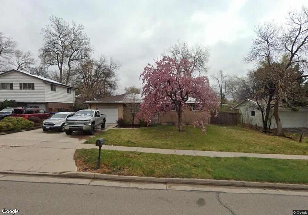
6546 Ward Rd Arvada, CO 80004
Northwest Arvada NeighborhoodEstimated Value: $521,000 - $649,000
3
Beds
2
Baths
2,292
Sq Ft
$244/Sq Ft
Est. Value
About This Home
This home is located at 6546 Ward Rd, Arvada, CO 80004 and is currently estimated at $559,037, approximately $243 per square foot. 6546 Ward Rd is a home located in Jefferson County with nearby schools including Fremont Elementary School, Oberon Middle School, and Arvada West High School.
Ownership History
Date
Name
Owned For
Owner Type
Purchase Details
Closed on
Jun 22, 2021
Sold by
Conrad Kert L
Bought by
Vizcaino Christopher
Current Estimated Value
Home Financials for this Owner
Home Financials are based on the most recent Mortgage that was taken out on this home.
Original Mortgage
$436,500
Outstanding Balance
$395,196
Interest Rate
2.9%
Mortgage Type
New Conventional
Estimated Equity
$163,841
Purchase Details
Closed on
May 11, 2017
Sold by
Conrad Kert L
Bought by
Conrad Kert L
Create a Home Valuation Report for This Property
The Home Valuation Report is an in-depth analysis detailing your home's value as well as a comparison with similar homes in the area
Home Values in the Area
Average Home Value in this Area
Purchase History
| Date | Buyer | Sale Price | Title Company |
|---|---|---|---|
| Vizcaino Christopher | $485,000 | Land Title Guarantee Company | |
| Conrad Kert L | $265,000 | None Available | |
| Conrad Kert L | $365,000 | None Available |
Source: Public Records
Mortgage History
| Date | Status | Borrower | Loan Amount |
|---|---|---|---|
| Open | Vizcaino Christopher | $436,500 |
Source: Public Records
Tax History
| Year | Tax Paid | Tax Assessment Tax Assessment Total Assessment is a certain percentage of the fair market value that is determined by local assessors to be the total taxable value of land and additions on the property. | Land | Improvement |
|---|---|---|---|---|
| 2024 | $2,709 | $27,927 | $12,342 | $15,585 |
| 2023 | $2,709 | $27,927 | $12,342 | $15,585 |
| 2022 | $2,342 | $23,916 | $10,036 | $13,880 |
| 2021 | $2,381 | $24,604 | $10,325 | $14,279 |
| 2020 | $2,192 | $22,714 | $8,606 | $14,108 |
| 2019 | $2,162 | $22,714 | $8,606 | $14,108 |
| 2018 | $2,080 | $21,245 | $5,753 | $15,492 |
| 2017 | $1,904 | $21,245 | $5,753 | $15,492 |
| 2016 | $1,601 | $16,627 | $4,974 | $11,653 |
| 2015 | $1,355 | $16,627 | $4,974 | $11,653 |
| 2014 | $1,355 | $13,379 | $3,946 | $9,433 |
Source: Public Records
Map
Nearby Homes
- 6501 Welch Ct
- 6492 Welch St
- 12670 W 66th Place
- 6545 Union St
- 12730 W 67th Way
- 11820 W 66th Place Unit A
- 11780 W 66th Place Unit B
- 12869 W 68th Ave
- 12995 W 63rd Place Unit A
- 6320 Yank Ct Unit C
- 6868 Vivian St
- 6426 Zang Ct
- 12398 W 70th Ave
- 13115 W 63rd Place
- 6652 Zinnia St
- 11640 W 62nd Place Unit 203
- 13155 W 63rd Place
- 6640 Simms St
- 11626 W 62nd Place Unit 103
- 6466 Simms St Unit A
Your Personal Tour Guide
Ask me questions while you tour the home.