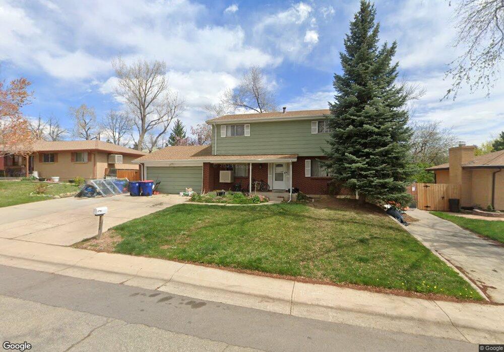
6548 Vivian St Arvada, CO 80004
Northwest Arvada NeighborhoodEstimated Value: $600,000 - $645,000
3
Beds
5
Baths
1,943
Sq Ft
$315/Sq Ft
Est. Value
About This Home
This home is located at 6548 Vivian St, Arvada, CO 80004 and is currently estimated at $612,835, approximately $315 per square foot. 6548 Vivian St is a home located in Jefferson County with nearby schools including Fremont Elementary School, Oberon Middle School, and Arvada West High School.
Ownership History
Date
Name
Owned For
Owner Type
Purchase Details
Closed on
Sep 14, 2001
Sold by
Scratch Dennis W
Bought by
Scratch Wendy S
Current Estimated Value
Home Financials for this Owner
Home Financials are based on the most recent Mortgage that was taken out on this home.
Original Mortgage
$32,675
Interest Rate
6.75%
Mortgage Type
Seller Take Back
Purchase Details
Closed on
Aug 29, 1997
Sold by
Peterson Carol J
Bought by
Scratch Dennis W and Scratch Wendy S
Home Financials for this Owner
Home Financials are based on the most recent Mortgage that was taken out on this home.
Original Mortgage
$131,850
Outstanding Balance
$20,361
Interest Rate
7.43%
Estimated Equity
$592,474
Create a Home Valuation Report for This Property
The Home Valuation Report is an in-depth analysis detailing your home's value as well as a comparison with similar homes in the area
Home Values in the Area
Average Home Value in this Area
Purchase History
| Date | Buyer | Sale Price | Title Company |
|---|---|---|---|
| Scratch Wendy S | -- | -- | |
| Scratch Dennis W | $146,500 | -- |
Source: Public Records
Mortgage History
| Date | Status | Borrower | Loan Amount |
|---|---|---|---|
| Closed | Scratch Wendy S | $32,675 | |
| Open | Scratch Dennis W | $131,850 |
Source: Public Records
Tax History Compared to Growth
Tax History
| Year | Tax Paid | Tax Assessment Tax Assessment Total Assessment is a certain percentage of the fair market value that is determined by local assessors to be the total taxable value of land and additions on the property. | Land | Improvement |
|---|---|---|---|---|
| 2024 | $2,570 | $33,199 | $14,493 | $18,706 |
| 2023 | $2,570 | $33,199 | $14,493 | $18,706 |
| 2022 | $2,100 | $28,393 | $11,762 | $16,631 |
| 2021 | $2,135 | $29,210 | $12,100 | $17,110 |
| 2020 | $2,774 | $28,745 | $11,342 | $17,403 |
| 2019 | $2,736 | $28,745 | $11,342 | $17,403 |
| 2018 | $2,492 | $25,449 | $5,839 | $19,610 |
| 2017 | $2,281 | $25,449 | $5,839 | $19,610 |
| 2016 | $2,095 | $21,765 | $5,527 | $16,238 |
| 2015 | $1,829 | $21,765 | $5,527 | $16,238 |
| 2014 | $1,829 | $18,067 | $4,384 | $13,683 |
Source: Public Records
Map
Nearby Homes
- 6440 Wright St
- 11925 W 66th Place Unit B
- 11820 W 66th Place Unit A
- 12924 W 64th Dr Unit B
- 6616 Zang Cir
- 6470 Simms St Unit C
- 11640 W 62nd Place Unit 203
- 6640 Simms St
- 11626 W 62nd Place Unit 103
- 6416 Zang Ct
- 13155 W 63rd Place
- 11443 W 67th Ave
- 7049 Van Gordon Ct
- 13245 W 63rd Cir
- 13168 W 62nd Dr
- 12362 W 60th Place
- 12976 W 61st Cir
- 6085 Simms St
- 13432 W 65th Place
- 13553 W 65th Place
- 6558 Vivian St
- 6538 Vivian St
- 6559 Van Gordon Ct
- 6569 Van Gordon Ct
- 6549 Van Gordon Ct
- 6547 Vivian St
- 6568 Vivian St
- 6528 Vivian St
- 6557 Vivian St
- 6537 Vivian St
- 6579 Van Gordon Ct
- 6539 Van Gordon Ct
- 6567 Vivian St
- 6527 Vivian St
- 6518 Vivian St
- 6560 Van Gordon Ct
- 6577 Vivian St
- 6536 Ward Rd
- 6526 Ward Rd
- 6570 Van Gordon Ct