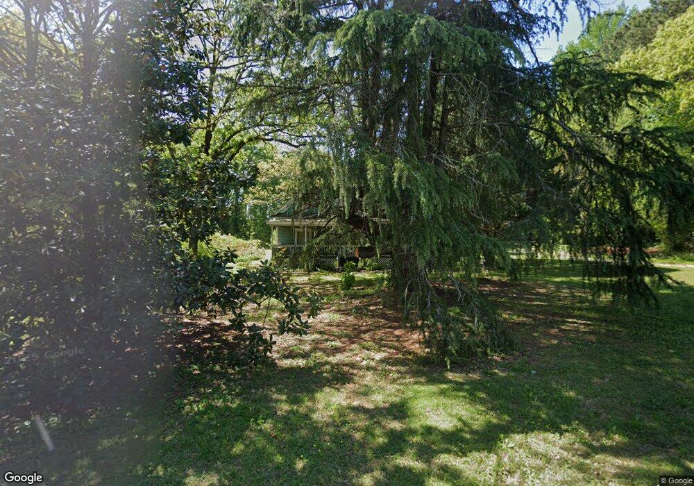
6549 Camp St Riverdale, GA 30274
Estimated Value: $210,065 - $254,000
2
Beds
2
Baths
1,899
Sq Ft
$119/Sq Ft
Est. Value
About This Home
This home is located at 6549 Camp St, Riverdale, GA 30274 and is currently estimated at $226,766, approximately $119 per square foot. 6549 Camp St is a home located in Clayton County with nearby schools including Riverdale Elementary School, Riverdale Middle School, and Charles R. Drew High School.
Ownership History
Date
Name
Owned For
Owner Type
Purchase Details
Closed on
Jan 31, 1994
Sold by
Atlanta Postal Cu
Bought by
Walding Chester K Debbie J
Current Estimated Value
Home Financials for this Owner
Home Financials are based on the most recent Mortgage that was taken out on this home.
Original Mortgage
$45,000
Interest Rate
7.17%
Purchase Details
Closed on
Aug 3, 1993
Sold by
Bell Lela E
Bought by
Atlanta Post Credit Union
Create a Home Valuation Report for This Property
The Home Valuation Report is an in-depth analysis detailing your home's value as well as a comparison with similar homes in the area
Home Values in the Area
Average Home Value in this Area
Purchase History
| Date | Buyer | Sale Price | Title Company |
|---|---|---|---|
| Walding Chester K Debbie J | $46,500 | -- | |
| Atlanta Post Credit Union | $50,000 | -- |
Source: Public Records
Mortgage History
| Date | Status | Borrower | Loan Amount |
|---|---|---|---|
| Closed | Walding Chester K Debbie J | $45,000 |
Source: Public Records
Tax History Compared to Growth
Tax History
| Year | Tax Paid | Tax Assessment Tax Assessment Total Assessment is a certain percentage of the fair market value that is determined by local assessors to be the total taxable value of land and additions on the property. | Land | Improvement |
|---|---|---|---|---|
| 2024 | $929 | $57,840 | $13,400 | $44,440 |
| 2023 | $1,849 | $57,840 | $13,400 | $44,440 |
| 2022 | $595 | $51,040 | $13,400 | $37,640 |
| 2021 | $484 | $42,800 | $13,400 | $29,400 |
| 2020 | $379 | $35,112 | $14,394 | $20,718 |
| 2019 | $408 | $36,156 | $14,394 | $21,762 |
| 2018 | $423 | $37,136 | $14,394 | $22,742 |
| 2017 | $594 | $34,986 | $14,394 | $20,592 |
| 2016 | $892 | $34,986 | $14,394 | $20,592 |
| 2015 | $875 | $0 | $0 | $0 |
| 2014 | $911 | $36,174 | $14,394 | $21,780 |
Source: Public Records
Map
Nearby Homes
- 6532 Voyles Dr
- 6718 Delta Dr
- 398 River Oak Dr
- 452 Upper Riverdale Rd SW
- 556 Roy Huie Rd
- 6755 Powers St
- 6332 Valley Dale Dr
- 781 Mimosa St
- 6372 Valley Dale Dr
- 6657 Baldwin Ct
- 765 Mimosa St
- 6849 Sandy Creek Dr
- 742 Verde Dr
- 545 Oak Valley Dr
- 6464 River Park Dr
- 6468 River Park Dr
- 6544 River Park Dr
- 772 Verde Dr
- 266 Ridge Trail
- 226 Stayman Dr
- 6565 Camp St
- 6532 Camp St
- 6546 Camp St
- 6556 Camp St
- 6524 Camp St
- 6581 Camp St
- 544 Denham St
- 6499 Camp St
- 536 Denham St
- 6504 Camp St
- 6587 Camp St
- 0 Denham St Unit 8995962
- 0 Denham St Unit 7486976
- 0 Denham St Unit 7200521
- 0 Denham St Unit 8745696
- 0 Denham St Unit 8705381
- 0 Denham St Unit 7553169
- 0 Denham St Unit 8705071
- 0 Denham St Unit 7133566
- 0 Denham St Unit 7573646
