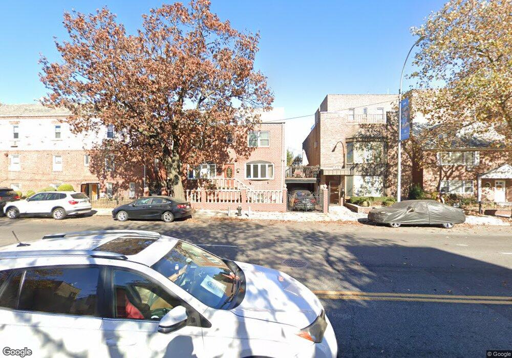
655 92nd St Brooklyn, NY 11228
Fort Hamilton NeighborhoodEstimated Value: $1,013,000 - $1,121,000
--
Bed
--
Bath
1,440
Sq Ft
$739/Sq Ft
Est. Value
About This Home
This home is located at 655 92nd St, Brooklyn, NY 11228 and is currently estimated at $1,063,904, approximately $738 per square foot. 655 92nd St is a home with nearby schools including P.S./I.S. 104 The Fort Hamilton School, Fort Hamilton High School, and Poly Prep Country Day School.
Ownership History
Date
Name
Owned For
Owner Type
Purchase Details
Closed on
Jan 13, 2011
Sold by
Mvp 8 Llc
Bought by
Moflehi Khaled and Mohamed Asmaa
Current Estimated Value
Home Financials for this Owner
Home Financials are based on the most recent Mortgage that was taken out on this home.
Original Mortgage
$401,040
Outstanding Balance
$273,938
Interest Rate
4.82%
Mortgage Type
Purchase Money Mortgage
Estimated Equity
$789,966
Purchase Details
Closed on
Nov 19, 2009
Sold by
Victory Memorial Hospital
Bought by
Mvp 8 Llc
Create a Home Valuation Report for This Property
The Home Valuation Report is an in-depth analysis detailing your home's value as well as a comparison with similar homes in the area
Home Values in the Area
Average Home Value in this Area
Purchase History
| Date | Buyer | Sale Price | Title Company |
|---|---|---|---|
| Moflehi Khaled | $557,500 | -- | |
| Mvp 8 Llc | -- | -- |
Source: Public Records
Mortgage History
| Date | Status | Borrower | Loan Amount |
|---|---|---|---|
| Open | Moflehi Khaled | $401,040 |
Source: Public Records
Tax History Compared to Growth
Tax History
| Year | Tax Paid | Tax Assessment Tax Assessment Total Assessment is a certain percentage of the fair market value that is determined by local assessors to be the total taxable value of land and additions on the property. | Land | Improvement |
|---|---|---|---|---|
| 2025 | $8,937 | $72,360 | $7,740 | $64,620 |
| 2024 | $8,937 | $70,440 | $7,740 | $62,700 |
| 2023 | $9,037 | $75,300 | $7,740 | $67,560 |
| 2022 | $7,616 | $74,820 | $7,740 | $67,080 |
| 2021 | $8,374 | $68,160 | $7,740 | $60,420 |
| 2020 | $4,123 | $62,100 | $7,740 | $54,360 |
| 2019 | $7,757 | $62,100 | $7,740 | $54,360 |
| 2018 | $7,559 | $37,080 | $4,876 | $32,204 |
| 2017 | $7,502 | $36,802 | $5,740 | $31,062 |
| 2016 | $6,941 | $34,719 | $6,519 | $28,200 |
| 2015 | $4,833 | $32,754 | $7,579 | $25,175 |
| 2014 | $4,833 | $30,900 | $8,580 | $22,320 |
Source: Public Records
Map
Nearby Homes
- 106 Parrott Place
- 119 Battery Ave
- 97 Battery Ave Unit 3B
- 165 Battery Ave
- 106 Battery Ave Unit 301
- 36 Parrott Place
- 205 Dahlgren Place
- 65 Dahlgren Place
- 233 Battery Ave
- 233 Dahlgren Place
- 626 88th St
- 33 Battery Ave
- 9031 Fort Hamilton Pkwy Unit 5G
- 25 Battery Ave
- 9019 Fort Hamilton Pkwy
- 27 Dahlgren Place
- 9040 Fort Hamilton Pkwy Unit 3K
- 9040 Fort Hamilton Pkwy Unit 3
- 9040 Fort Hamilton Pkwy Unit 4G
- 284 Dahlgren Place Unit 286
- 145 Battery Ave
- 143 Battery Ave
- 143 Battery Ave Unit 2
- 149 Battery Ave
- 141 Battery Ave
- 667 92nd St
- 139 Battery Ave
- 135 Battery Ave
- 124 Parrott Place Unit A2
- 124 Parrott Place
- 124 Parrott Place Unit C2
- 124 Parrott Place Unit C-1
- 124 Parrott Place Unit B-2
- 124 Parrott Place Unit D-4
- 124 Parrott Place
- 124 Parrott Place Unit D-3
- 124 Parrott Place Unit C5
- 124 Parrott Place Unit B-1
- 671 92nd St
- 133 Battery Ave