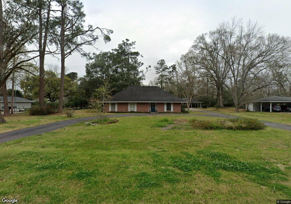
655 Albert Hart Dr Baton Rouge, LA 70808
Highlands/Perkins NeighborhoodEstimated Value: $299,542 - $399,000
--
Bed
--
Bath
2,208
Sq Ft
$158/Sq Ft
Est. Value
About This Home
This home is located at 655 Albert Hart Dr, Baton Rouge, LA 70808 and is currently estimated at $348,886, approximately $158 per square foot. 655 Albert Hart Dr is a home located in East Baton Rouge Parish with nearby schools including Magnolia Woods Elementary School, Glasgow Middle School, and Mckinley Senior High School.
Ownership History
Date
Name
Owned For
Owner Type
Purchase Details
Closed on
Nov 22, 2016
Sold by
Nardin Paula Marie
Bought by
Nardin Paula Marie
Current Estimated Value
Purchase Details
Closed on
Dec 13, 2005
Sold by
Nardin George F
Bought by
Vaughn Brent J
Home Financials for this Owner
Home Financials are based on the most recent Mortgage that was taken out on this home.
Original Mortgage
$185,000
Outstanding Balance
$103,509
Interest Rate
6.29%
Mortgage Type
New Conventional
Estimated Equity
$245,377
Create a Home Valuation Report for This Property
The Home Valuation Report is an in-depth analysis detailing your home's value as well as a comparison with similar homes in the area
Home Values in the Area
Average Home Value in this Area
Purchase History
| Date | Buyer | Sale Price | Title Company |
|---|---|---|---|
| Nardin Paula Marie | -- | None Available | |
| Vaughn Brent J | $142,500 | -- |
Source: Public Records
Mortgage History
| Date | Status | Borrower | Loan Amount |
|---|---|---|---|
| Open | Vaughn Brent J | $185,000 |
Source: Public Records
Tax History Compared to Growth
Tax History
| Year | Tax Paid | Tax Assessment Tax Assessment Total Assessment is a certain percentage of the fair market value that is determined by local assessors to be the total taxable value of land and additions on the property. | Land | Improvement |
|---|---|---|---|---|
| 2024 | $2,368 | $26,950 | $3,500 | $23,450 |
| 2023 | $2,368 | $22,450 | $3,500 | $18,950 |
| 2022 | $2,681 | $22,450 | $3,500 | $18,950 |
| 2021 | $2,619 | $22,450 | $3,500 | $18,950 |
| 2020 | $2,602 | $22,450 | $3,500 | $18,950 |
| 2019 | $2,295 | $18,950 | $3,500 | $15,450 |
| 2018 | $2,267 | $18,950 | $3,500 | $15,450 |
| 2017 | $2,267 | $18,950 | $3,500 | $15,450 |
| 2016 | $1,432 | $18,950 | $3,500 | $15,450 |
| 2015 | $1,026 | $15,450 | $3,500 | $11,950 |
| 2014 | $1,023 | $15,450 | $3,500 | $11,950 |
| 2013 | -- | $15,450 | $3,500 | $11,950 |
Source: Public Records
Map
Nearby Homes
- 640 Maxine Dr
- 859 Maxine Dr
- 7850 Boone Ave
- 578 Baird Dr
- 212 Magnolia Wood Ave
- 124 Magnolia Wood Ave
- 935 Daventry Dr
- 1839 Applewood Rd
- 1758 Applewood Rd
- 408 Baird Dr
- 550 Castle Kirk Dr
- 548 Kenilworth Pkwy
- 733 Chippenham Dr
- 7825 Highland District Way
- 1605 Applewood Rd
- 7850 Highland District Way
- 456 Kimbro Dr
- 521 Chippenham Dr
- 1034 Highland Park Dr
- 1431 Applewood Rd
- 685 Albert Hart Dr
- 647 Albert Hart Dr
- 650 Rodney Dr
- 668 Rodney Dr
- 634 Rodney Dr
- 686 Rodney Dr
- 621 Albert Hart Dr
- 771 Albert Hart Dr
- 664 Albert Hart Dr
- 620 Rodney Dr
- 684 Albert Hart Dr
- 648 Albert Hart Dr
- 720 Rodney Dr
- 770 Albert Hart Dr
- 588 Rodney Dr
- 634 Albert Hart Dr
- 667 Rodney Dr
- 685 Rodney Dr
- 585 Albert Hart Dr
- 775 Albert Hart Dr