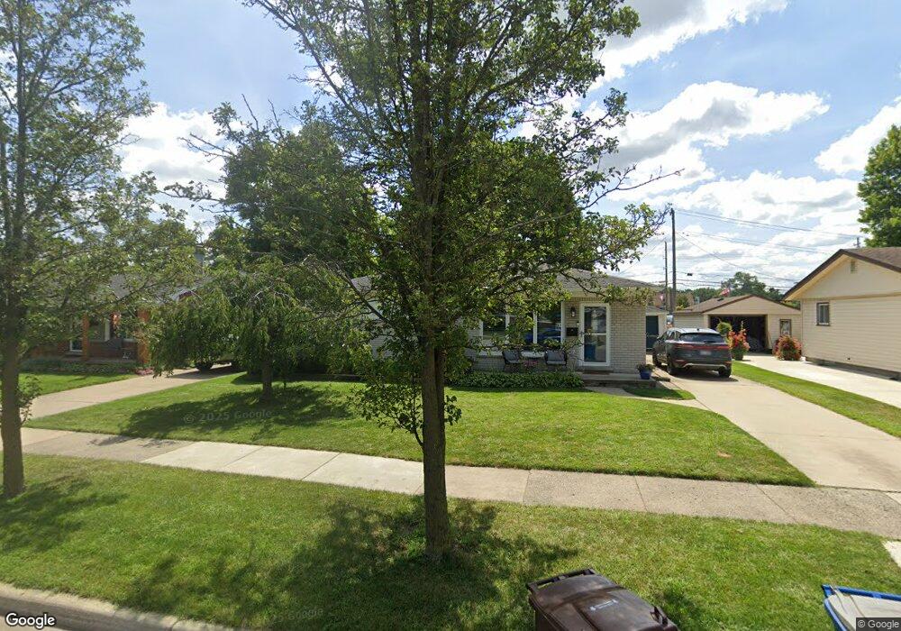
655 Byron St Unit Bldg-Unit Plymouth, MI 48170
Estimated Value: $325,000 - $404,000
3
Beds
2
Baths
1,040
Sq Ft
$353/Sq Ft
Est. Value
About This Home
This home is located at 655 Byron St Unit Bldg-Unit, Plymouth, MI 48170 and is currently estimated at $366,796, approximately $352 per square foot. 655 Byron St Unit Bldg-Unit is a home located in Wayne County with nearby schools including Canton High School, Smith Elementary School, and East Middle School.
Ownership History
Date
Name
Owned For
Owner Type
Purchase Details
Closed on
Aug 4, 2021
Sold by
Miller Jeffrey Whalen
Bought by
Lash Kyle M
Current Estimated Value
Home Financials for this Owner
Home Financials are based on the most recent Mortgage that was taken out on this home.
Original Mortgage
$285,000
Outstanding Balance
$259,153
Interest Rate
2.9%
Mortgage Type
New Conventional
Estimated Equity
$107,643
Purchase Details
Closed on
Jul 13, 2018
Sold by
Cole Mathew D and Cole Briittany
Bought by
Miller Jeffrey Whalen
Purchase Details
Closed on
Aug 15, 2013
Sold by
Hawley John M and Hawley Norma J
Bought by
Cole Matthew D
Create a Home Valuation Report for This Property
The Home Valuation Report is an in-depth analysis detailing your home's value as well as a comparison with similar homes in the area
Home Values in the Area
Average Home Value in this Area
Purchase History
| Date | Buyer | Sale Price | Title Company |
|---|---|---|---|
| Lash Kyle M | $300,000 | Ata National Title Group Llc | |
| Miller Jeffrey Whalen | $275,000 | First American Title Ins Co | |
| Cole Matthew D | $167,500 | First Centennial Title Agenc |
Source: Public Records
Mortgage History
| Date | Status | Borrower | Loan Amount |
|---|---|---|---|
| Open | Lash Kyle M | $285,000 |
Source: Public Records
Tax History Compared to Growth
Tax History
| Year | Tax Paid | Tax Assessment Tax Assessment Total Assessment is a certain percentage of the fair market value that is determined by local assessors to be the total taxable value of land and additions on the property. | Land | Improvement |
|---|---|---|---|---|
| 2025 | $5,906 | $169,500 | $0 | $0 |
| 2024 | $5,906 | $163,400 | $0 | $0 |
| 2023 | $5,752 | $159,200 | $0 | $0 |
| 2022 | $6,097 | $142,000 | $0 | $0 |
| 2021 | $7,640 | $126,400 | $0 | $0 |
| 2020 | $7,595 | $123,200 | $0 | $0 |
| 2019 | $4,851 | $124,400 | $0 | $0 |
| 2018 | $3,046 | $123,200 | $0 | $0 |
| 2017 | $645 | $109,000 | $0 | $0 |
| 2016 | $3,318 | $94,100 | $0 | $0 |
| 2015 | $7,600 | $81,300 | $0 | $0 |
| 2013 | $6,521 | $66,360 | $0 | $0 |
| 2011 | -- | $68,160 | $0 | $0 |
Source: Public Records
Map
Nearby Homes
- 844 Ross St
- 9205 Rocker Ave
- 1338 S Harvey St
- 1078 Simpson St
- 775 Deer Ct Unit 104
- 9191 Redbud Ave
- 9405 Northern Ave
- 770 Deer St Unit 204
- 1125 Sutherland St
- 543 Deer St
- 1199 S Sheldon Rd
- 638 S Harvey St
- 9453 Brookline Ave
- 8830 Northern Ave
- 278 Maple St
- 256 Maple St
- 9264 Brookline Ave
- 221 Pinewood Cir Unit 25
- 628 Maple St
- 644 Maple St