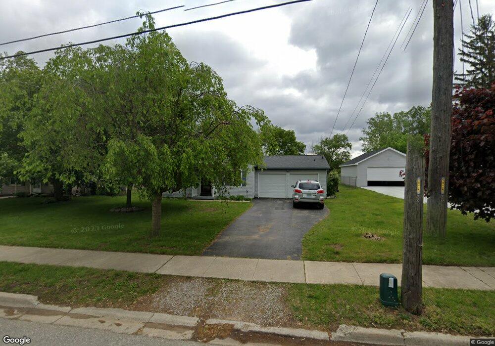
655 First St Dundee, MI 48131
Estimated Value: $169,268 - $204,000
3
Beds
1
Bath
1,196
Sq Ft
$157/Sq Ft
Est. Value
About This Home
This home is located at 655 First St, Dundee, MI 48131 and is currently estimated at $188,317, approximately $157 per square foot. 655 First St is a home located in Monroe County with nearby schools including Dundee Middle School, Dundee Elementary School, and Dundee Community High School.
Ownership History
Date
Name
Owned For
Owner Type
Purchase Details
Closed on
Aug 8, 2025
Sold by
Sortor Todd Joseph
Bought by
Sortor Todd Joseph and Strahm Penar Denyse
Current Estimated Value
Purchase Details
Closed on
Jul 21, 2025
Sold by
Sortor Todd Joseph
Bought by
Strahm Denyse Marie Isabel and Sortor Todd Joseph
Purchase Details
Closed on
May 25, 1995
Sold by
Mccracken Patrick M
Bought by
Clay Samuel J and Clay Delilah E
Create a Home Valuation Report for This Property
The Home Valuation Report is an in-depth analysis detailing your home's value as well as a comparison with similar homes in the area
Home Values in the Area
Average Home Value in this Area
Purchase History
| Date | Buyer | Sale Price | Title Company |
|---|---|---|---|
| Sortor Todd Joseph | -- | First American Title | |
| Strahm Denyse Marie Isabel | -- | First American Title | |
| Clay Samuel J | $84,500 | -- |
Source: Public Records
Mortgage History
| Date | Status | Borrower | Loan Amount |
|---|---|---|---|
| Closed | Clay Samuel J | -- |
Source: Public Records
Tax History
| Year | Tax Paid | Tax Assessment Tax Assessment Total Assessment is a certain percentage of the fair market value that is determined by local assessors to be the total taxable value of land and additions on the property. | Land | Improvement |
|---|---|---|---|---|
| 2025 | $1,080 | $93,070 | $93,070 | $0 |
| 2024 | $989 | $89,690 | $0 | $0 |
| 2023 | $481 | $70,190 | $0 | $0 |
| 2022 | $834 | $70,190 | $0 | $0 |
| 2021 | $1,522 | $67,820 | $0 | $0 |
| 2020 | $1,500 | $45,450 | $0 | $0 |
| 2019 | $782 | $45,450 | $0 | $0 |
| 2018 | $1,441 | $46,280 | $0 | $0 |
| 2017 | $1,377 | $46,280 | $0 | $0 |
| 2016 | $1,011 | $43,090 | $0 | $0 |
| 2015 | $1,005 | $36,870 | $0 | $0 |
| 2014 | $1,336 | $36,870 | $0 | $0 |
| 2013 | $1,108 | $35,910 | $0 | $0 |
Source: Public Records
Map
Nearby Homes
- 439 E Monroe St
- 835 Henning St
- 190 Sidney St
- 835 Golf Ridge Cir
- 232 Dundee Ridge Dr
- 365 Sidney St
- 671 Elk Ridge Dr
- 535 Falcon Dr
- 301 White Owl Ln Unit 236
- 240 Ypsilanti St
- 13493 Dixon Rd
- 264 Ypsilanti St
- 626 Plank St
- 1353 W Lloyd Rd
- 150 Waterstradt Commerce Dr
- 504 Brooks Hollow Ct
- 512 Brooks Hollow Ct
- 469 Corinth
- 454 Tecumseh St
- 2 Covell
Your Personal Tour Guide
Ask me questions while you tour the home.